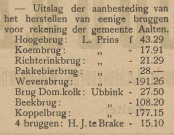
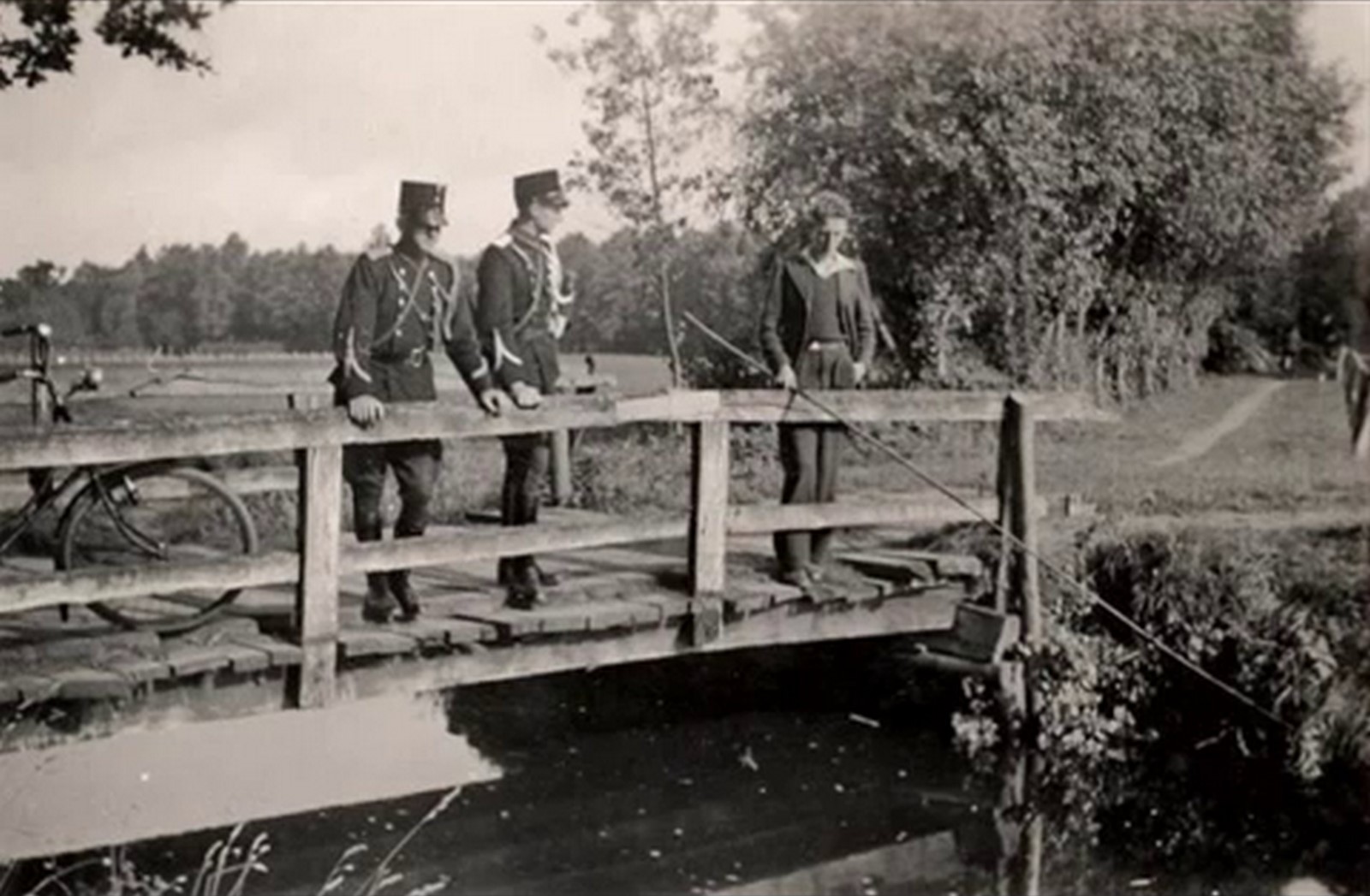
Aalten, Bredevoort and the surrounding buurtschappen have various bridges, including a large number of spans over streams, several railway bridges and two viaducts. Some of these bridges have a name. The tables below show, among others, the bridges over the Slingebeek and the Keizersbeek, arranged from (north)east to (south)west. This overview is not yet complete; additions are therefore very welcome.
Photos: G. Schreurs, Google Streetview, Meerdink Bruggen, R. Neerhof.
Slingebeek
| Object (name) | Year of construction | Location | Coordinates | Image |
|---|---|---|---|---|
| Munsterbrug | 1929 | Landstraat/Misterstraat | 51°56’31.0″N, 6°37’07.4″E | 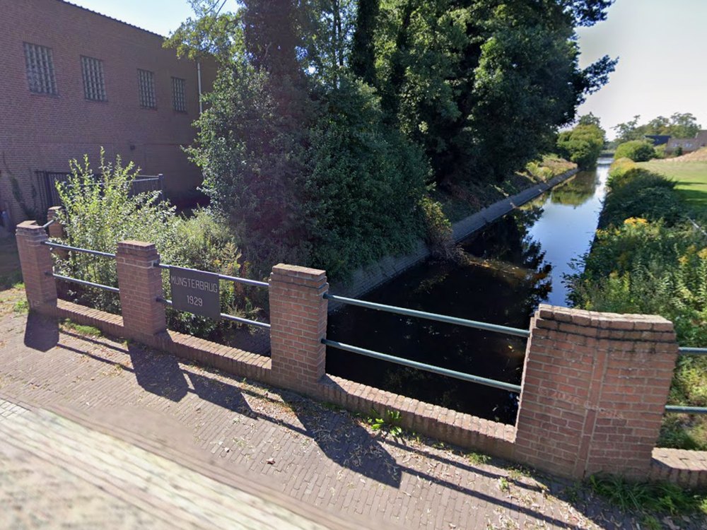 |
| Swanebroeksbrug | 1937-1948 | Winterswijksestraat | 51°56’24.8″N, 6°36’58.2″E | 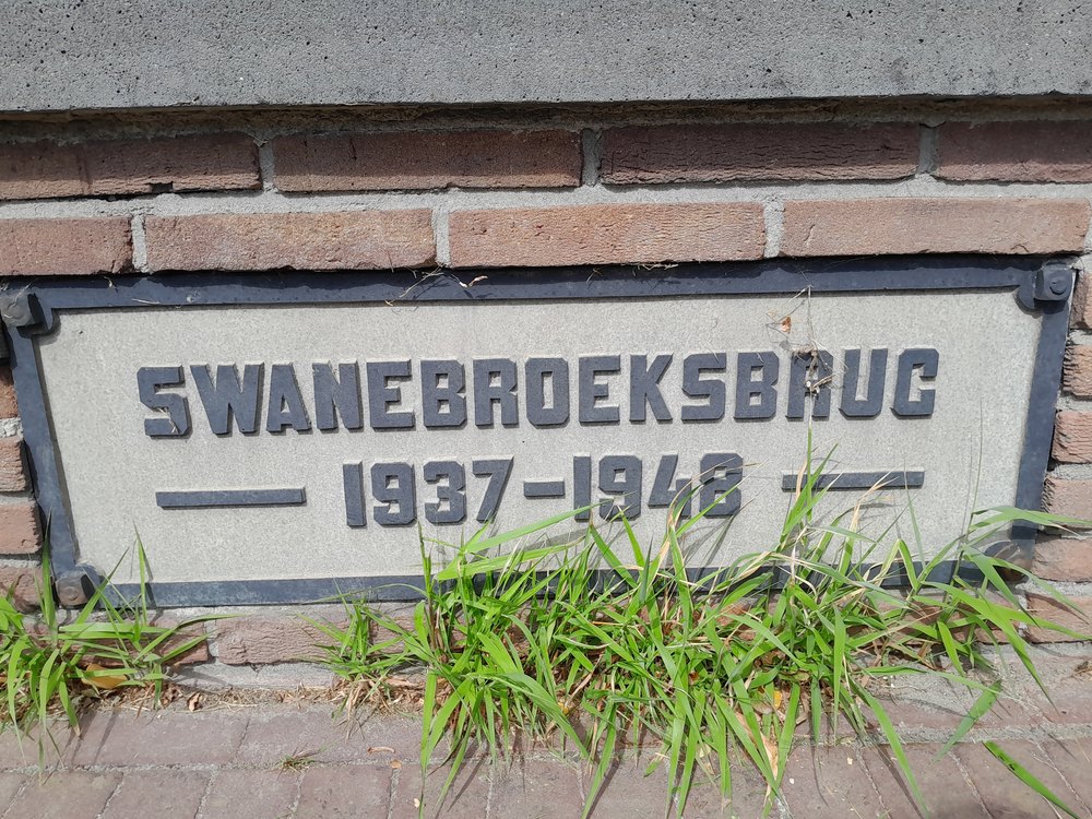 |
| Slingebrug | Hamelandroute | 51°55’41.4″N, 6°36’02.1″E | 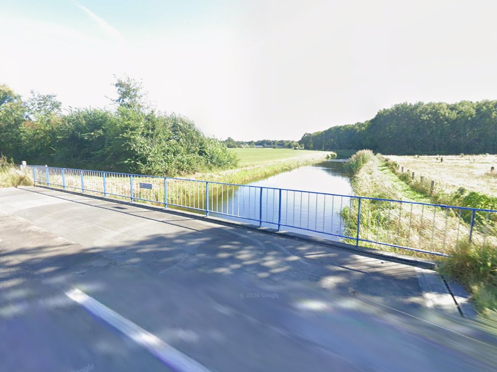 | |
| 1e Haartbrug | 1950 | Haartsestraat | 51°55’35.9″N, 6°35’19.8″E | 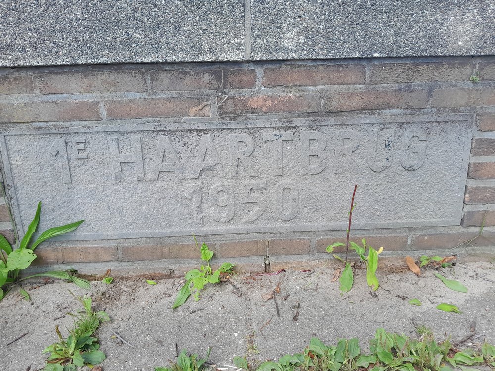 |
| Balkonbrug | 2015 | Ahavestraat | 51°55’33.8″N, 6°35’18.1″E | 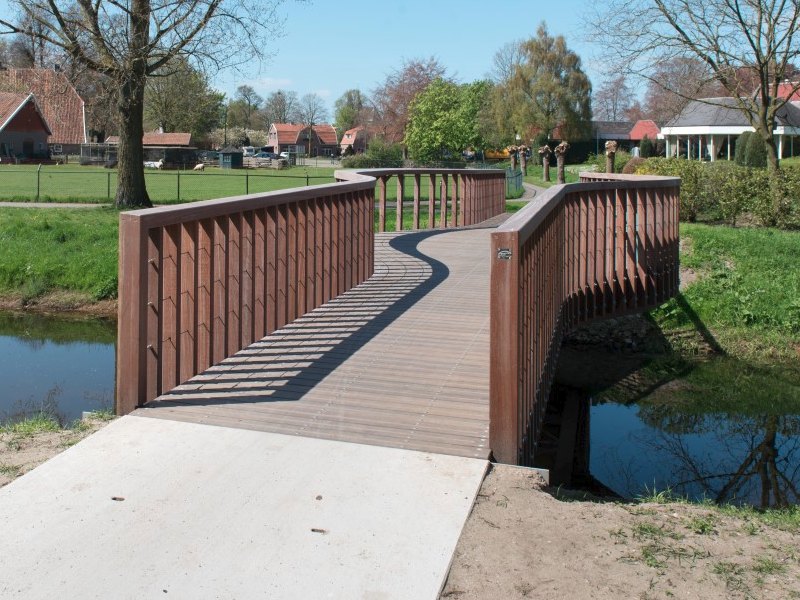 |
| Polbrug | 1937 | Polstraat | 51°55’30.5″N, 6°35’10.9″E | 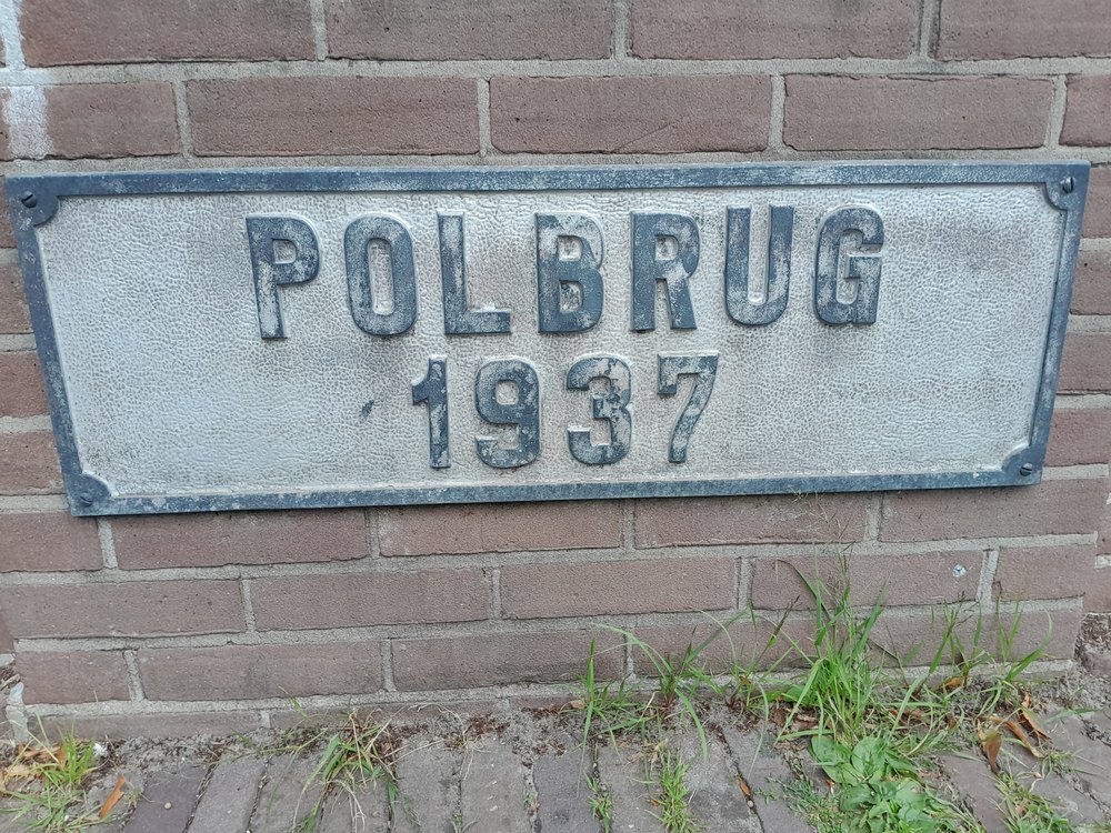 |
| Bonifaciusstraat/ Hofstraat | 51°55’30.2″N, 6°35’06.6″E | 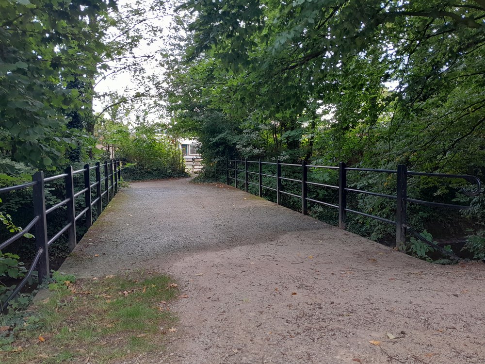 | ||
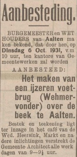
| Wehmervonder | 1931 | Wehmerpad | 51°55’29.9″N, 6°34’59.5″E | 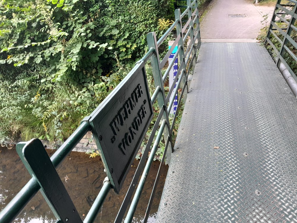 |
| Wehmerbrug | 1949 | Wehmerstraat | 51°55’30.7″N, 6°34’52.9″E | 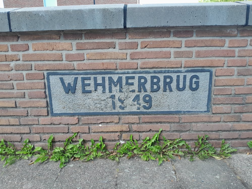 |
| Dijksbrug | 1949 | Dijkstraat | 51°55’27.1″N, 6°34’50.7″E | 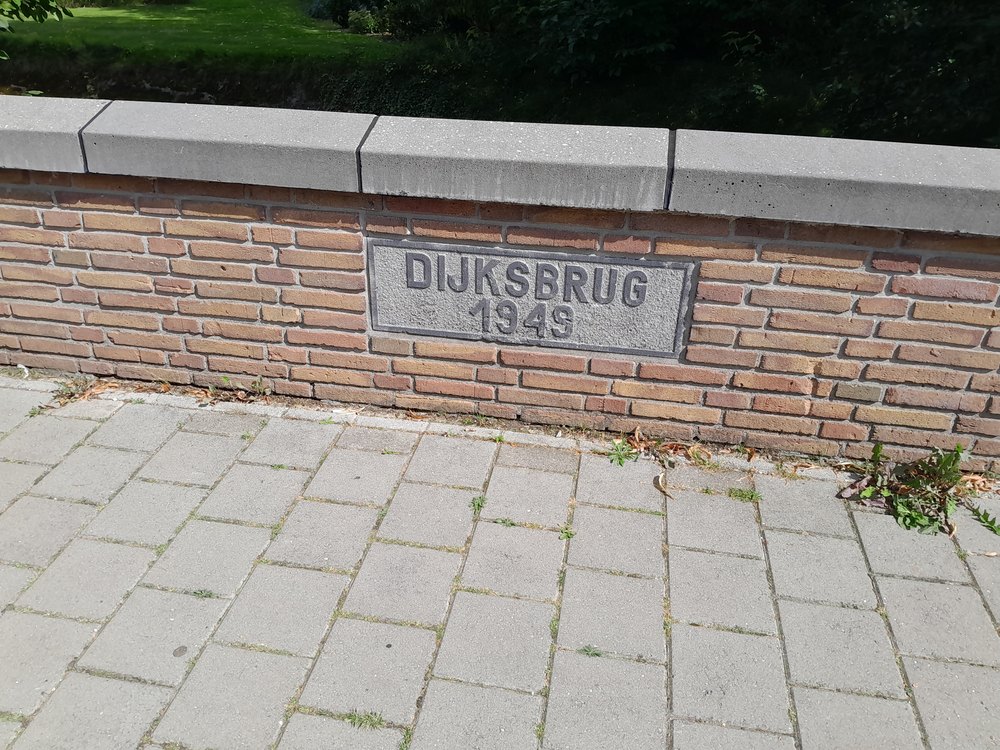 |
| Koembrug | 1947 | Stationsstraat | 51°55’28.0″N, 6°34’45.2″E | 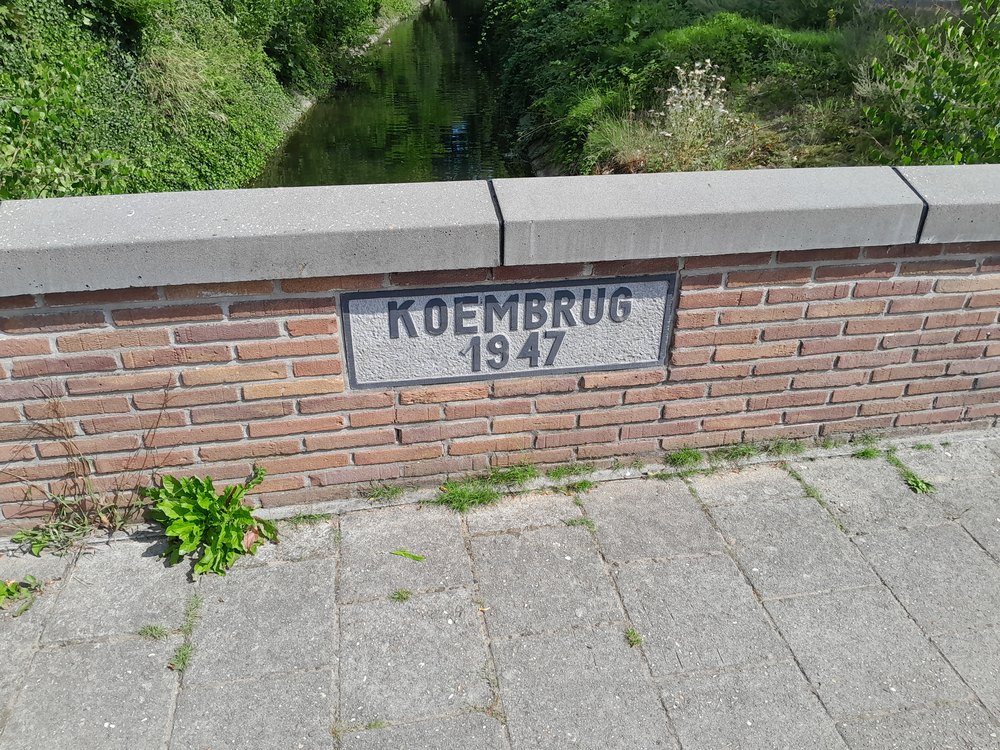 |
| Dalbrug | 1961 | Van Heemskerckstraat | 51°55’28.8″N, 6°34’27.3″E | 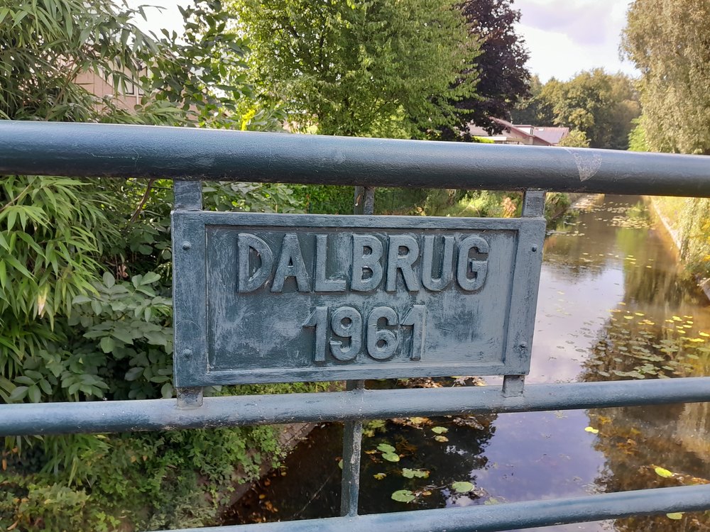 |
| Richterinkvonder | 1936 | Slingelaan | 51°55’34.1″N, 6°34’18.9″E | 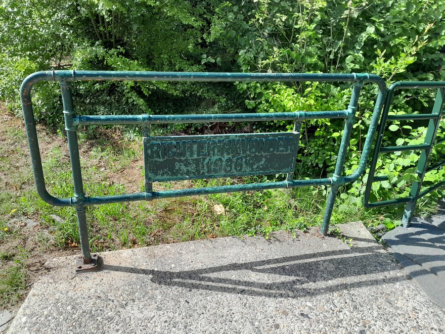 |
| Richterinkbrug | 1950 | Richterinkstraat | 51°55’37.7″N, 6°34’16.6″E | 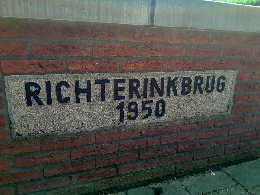 |
| Grevinkbrug | Varsseveldsestraatweg | 51°55’47.4″N, 6°34’12.0″E | 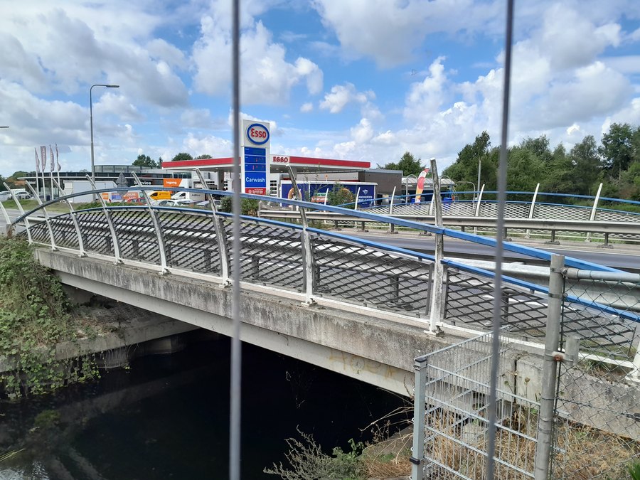 | |
| Aladnaweg | 51°55’50.4″N, 6°33’37.3″E | 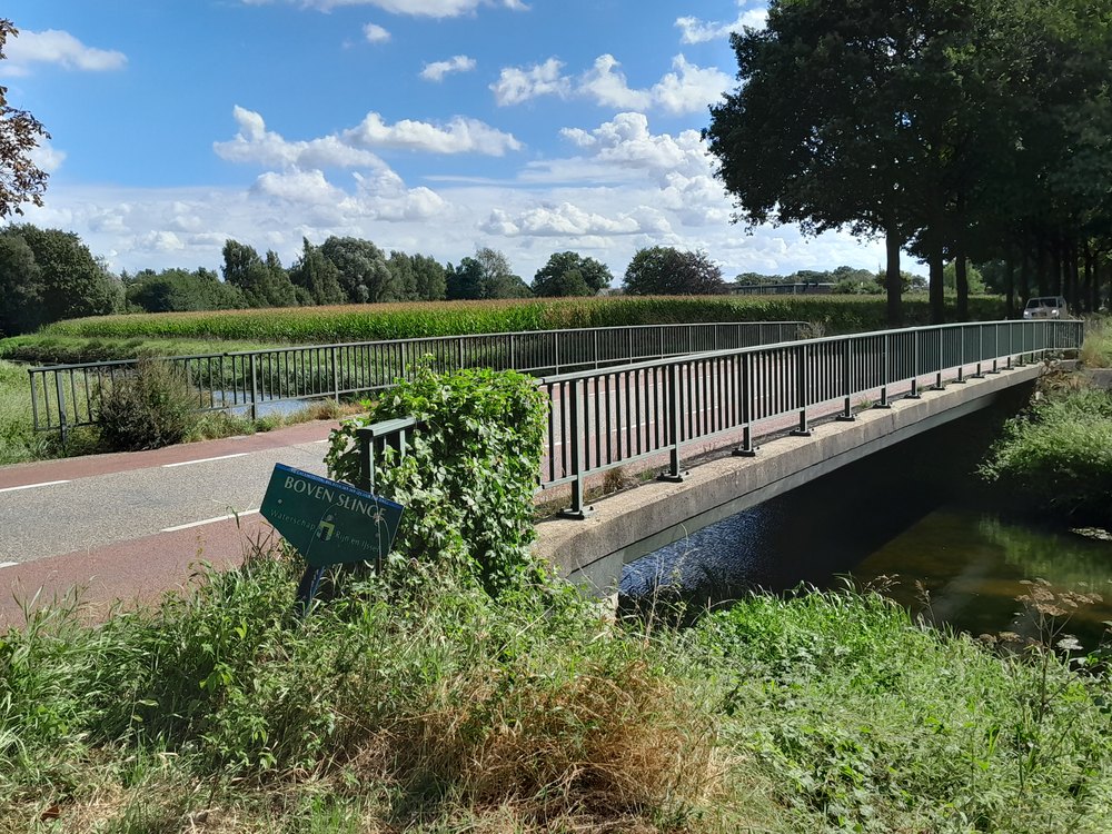 | ||
| Bleekbrug | Slatdijk | 51°55’54.9″N, 6°33’11.6″E | 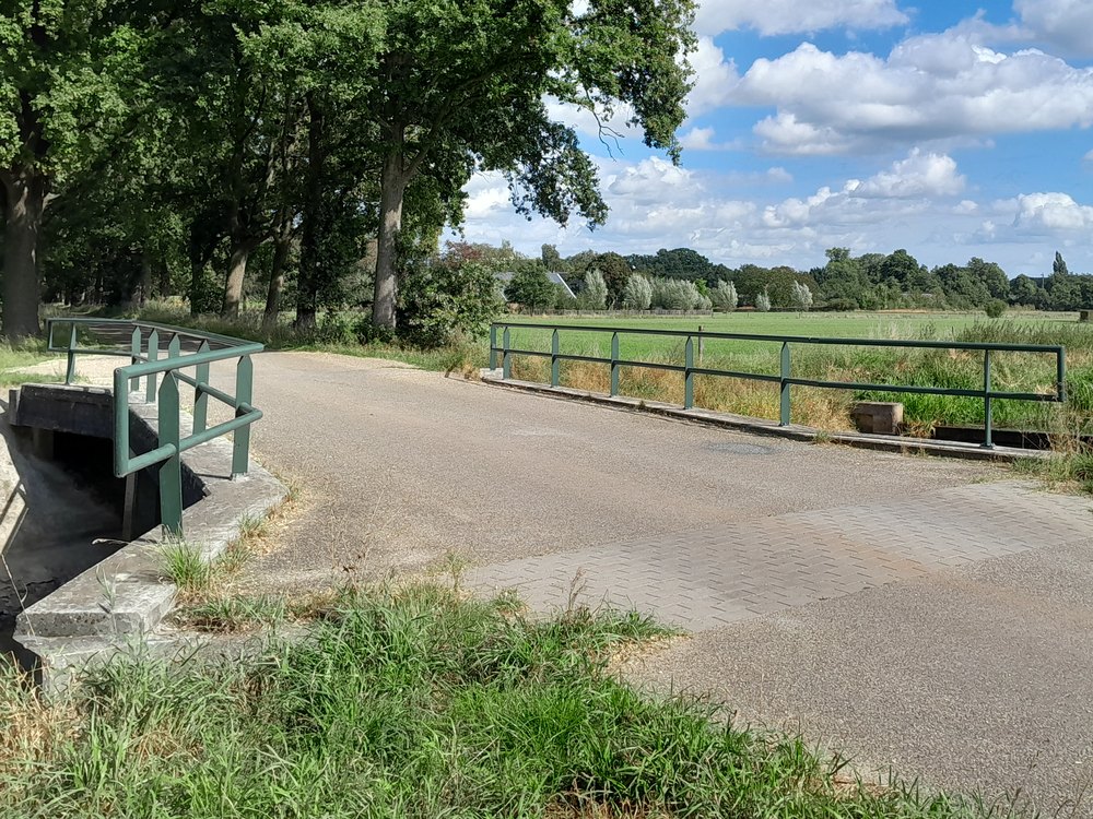 | |
| Pakkebierbrug | Pakkebierweg | 51°56’08.6″N, 6°32’23.1″E | 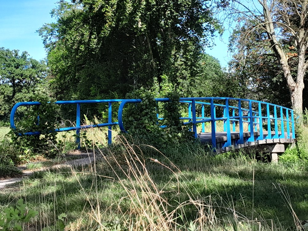 | |
| Boombeeksbrug | 1954 | Vellegendijk/Boterdijk | 51°56’17.1″N, 6°32’10.8″E | 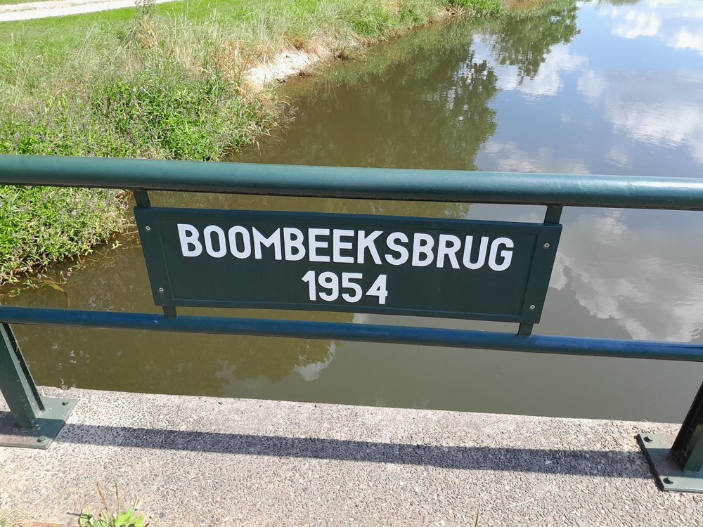 |
| Beunkbrug | Beunkdijk | 51°56’31.8″N, 6°31’20.5″E | 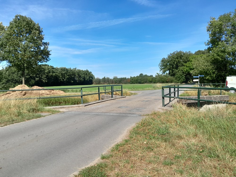 |
Keizersbeek
| Object (name) | Year of construction | Location | Coordinates | Image |
|---|---|---|---|---|
| Schaarsbrug | Bolwerkweg | 51°56’41.0″N, 6°36’52.5″E | 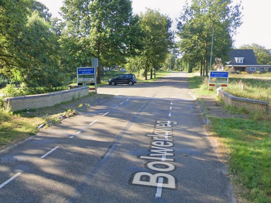 | |
| Koppelbrug | 1937-1948 | Winterswijksestraat | 51°56’24.7″N, 6°36’46.7″E | 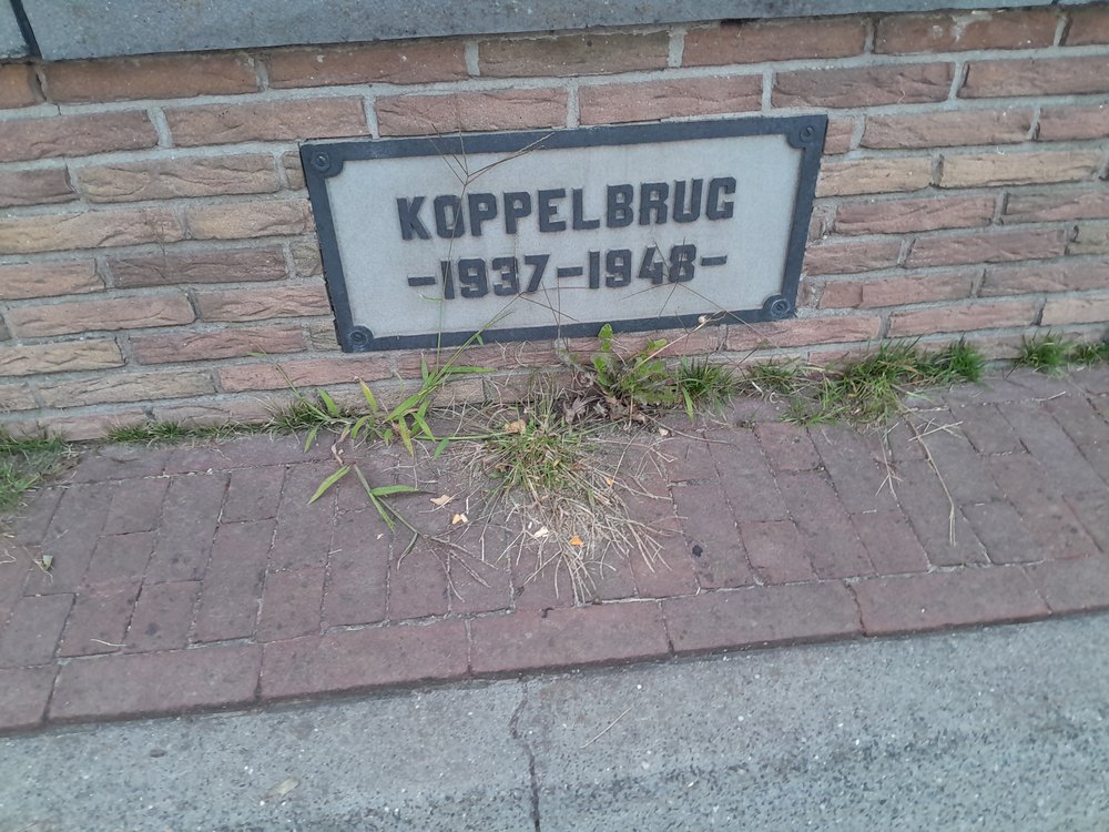 |
| 2e Haartbrug | 1952 | Haartseweg | 51°55’32.6″N, 6°36’10.4″E | 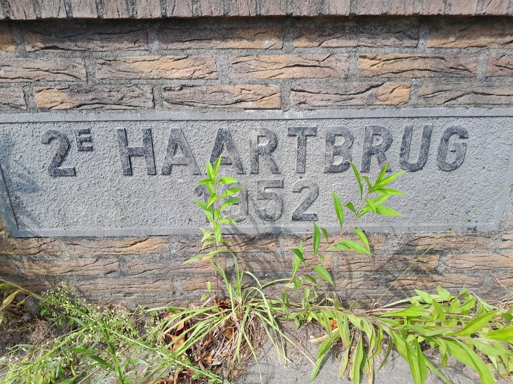 |
| Molenkampsdijk | 51°55’24.4″N, 6°35’42.1″E | 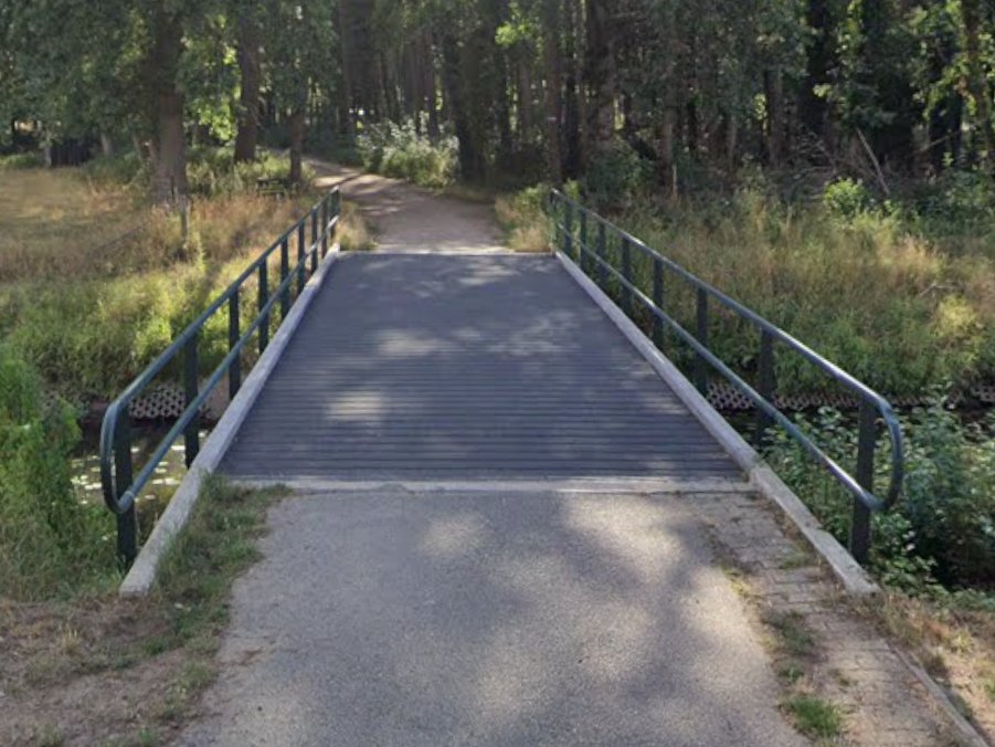 | ||
| Loohuisweg | 51°55’19.5″N, 6°35’41.2″E | 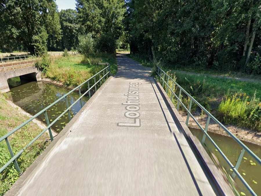 | ||
| Kriegerdreef | 51°55’14.6″N, 6°35’38.9″E | 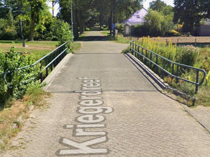 | ||
| Slaadreef | 51°55’11.1″N, 6°35’35.6″E | |||
| King’s Company Bridge | Bodendijk | 51°54’59.2″N, 6°35’07.2″E | 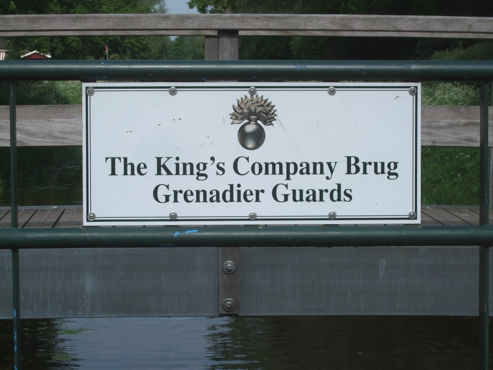 | |
| Hoge Brug | Bocholtsestraatweg | 51°54’53.7″N, 6°34’53.2″E | 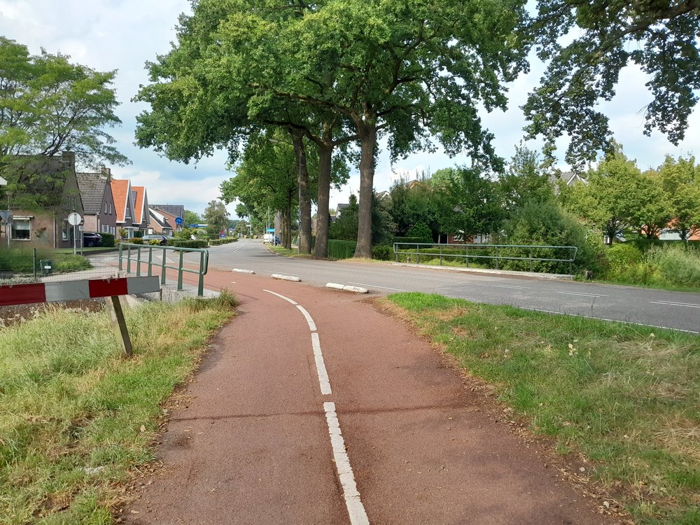 | |
| Piepersbrug | 1950 | Dinxperlosestraatweg | 51°54’45.6″N, 6°34’28.2″E | 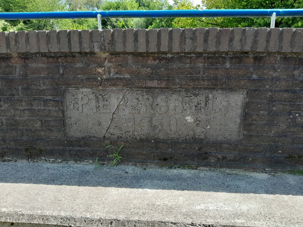 |
| – | Roelendijk | 51°54’34.5″N, 6°33’32.4″E | 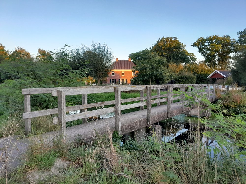 | |
| (Mr.) Weversbrug | Veldweg | 51°54’28.2″N, 6°33’10.8″E | 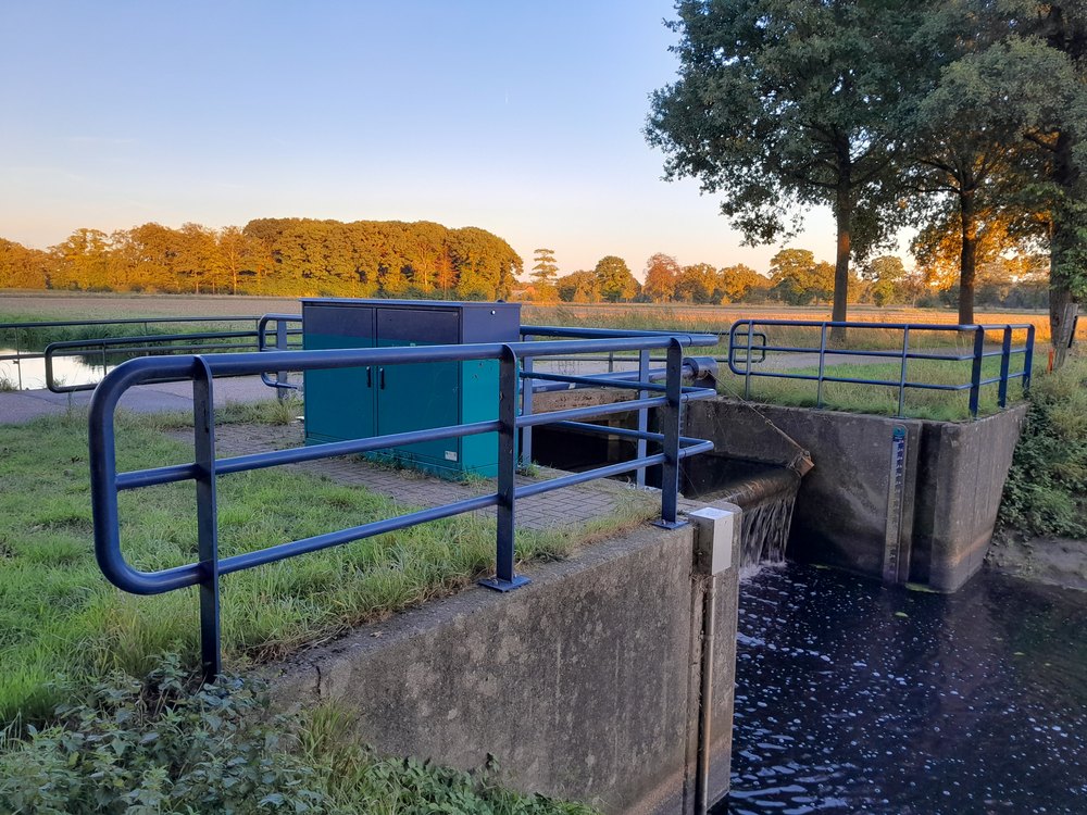 | |
| Tammelbrug | 1938 | Tammeldijk | 51°54’25.1″N, 6°31’58.9″E | 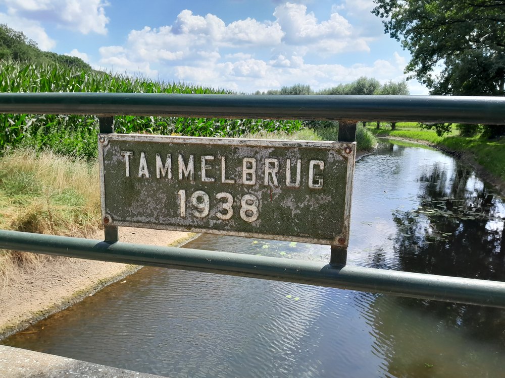 |
| Witgoorsbrug | 1939 | Sondernweg | 51°54’41.7″N, 6°31’49.8″E | 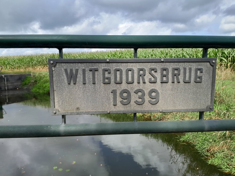 |
| Maatkampsbrug | 1935 | Brakenweg | 51°54’42.2″N, 6°31’08.6″E | 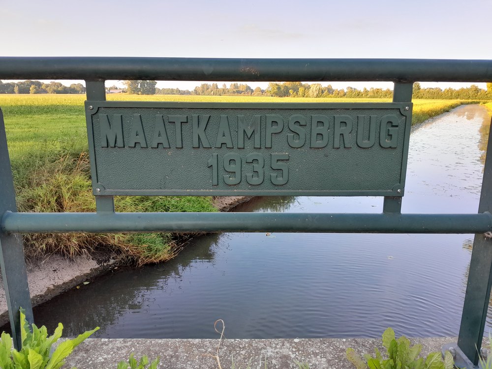 |
| Veenbrug | Veenweg | 51°54’31.3″N, 6°30’18.6″E | 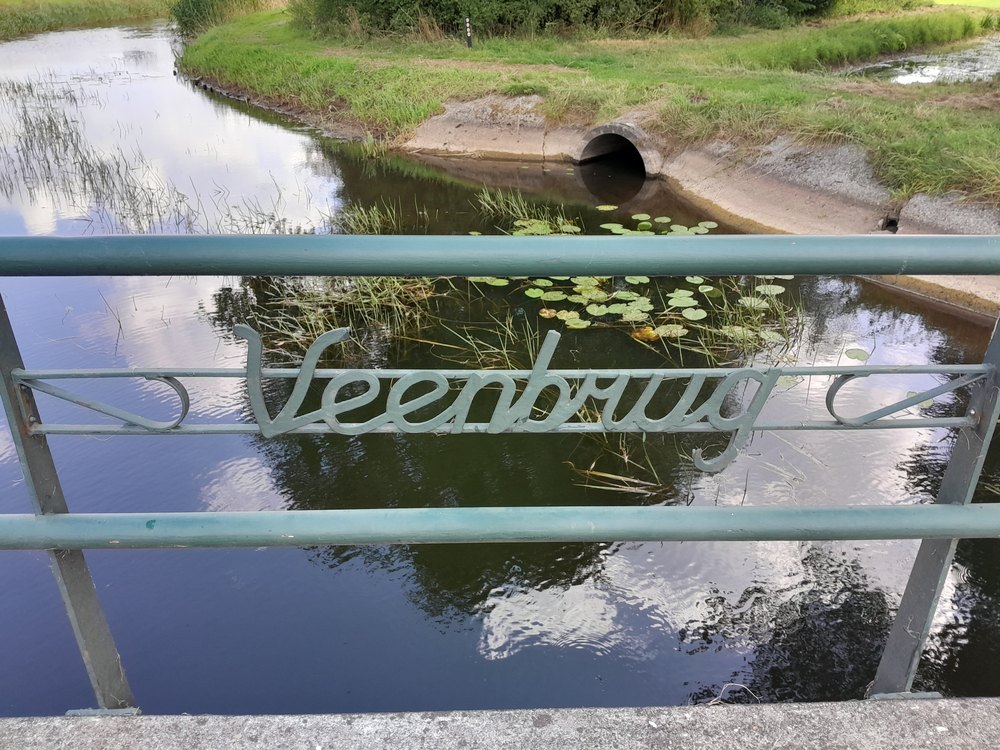 | |
| Vriezenbrug | De Heurnseweg | 51°54’15.7″N, 6°29’15.3″E | 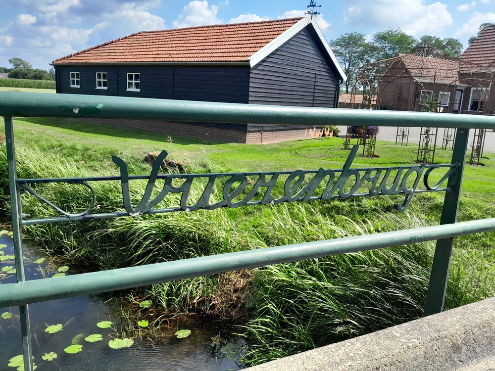 |
Other bridges
| Object (name) | Year of construction | Location | Coordinates | Image |
|---|---|---|---|---|
| Glazenbrug | unknown (no longer extant) | Dijkstraat/ Plein Zuid | 51°55’17.1″N, 6°34’51.9″E | 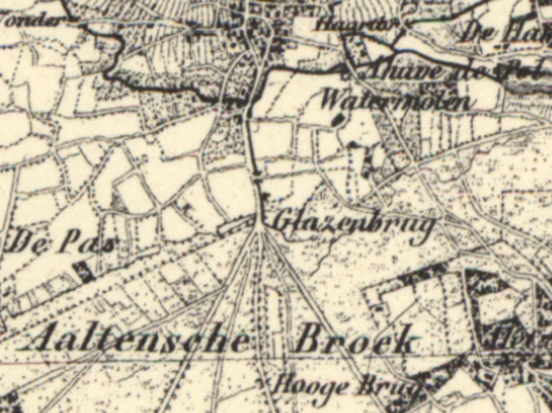 |
| Stuwbeeksbrug | 1926 | Stationsweg/ Buninkdijk | 51°55’49.3″N, 6°37’24.4″E | 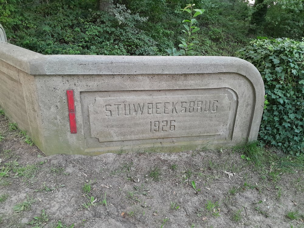 |
Glazenbrug
More than a century ago, a ditch ran parallel to the east side of the Dijkstraat from or to the Aaltense Broek. Near the current level crossing at Plein Zuid, there was a bridge called the “Glazenbrug”. The ditch was still there in the 1960s. There were several small bridges up to the Hoge Brug in the Bocholtsestraatweg.
If you have more information about this bridge, we would be pleased to hear from you.