| Cadastral reference: | I-12213/8533 |
|---|---|
| Function: | Oilmill, Watermill |
| Status: | No longer extant |
| Year built: | ca. 1500 |
| Demolished: | ca. 1900 |
Overzicht
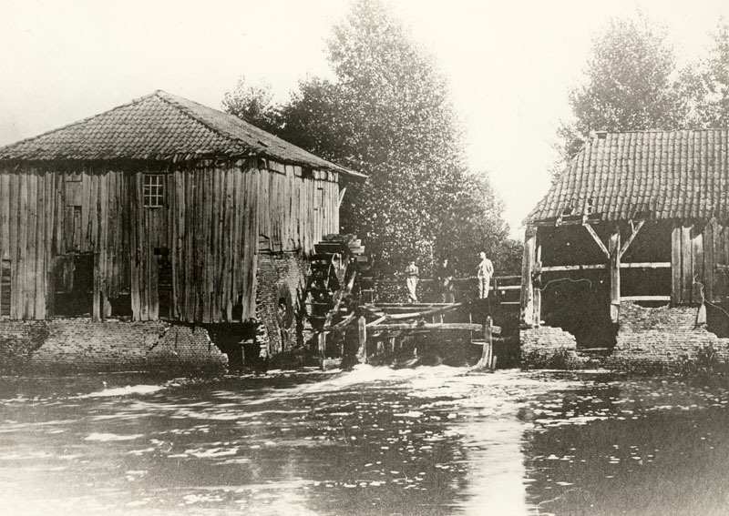
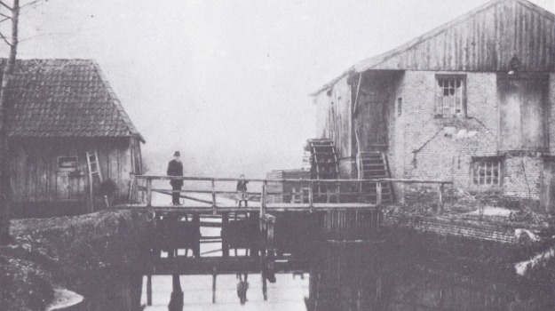
Eeuwenlang stond er een watermolen in de Slingebeek bij de havezate De Ahof, ongeveer ter hoogte van de huidige stenen bank van Aaltens Belang. Begin 20e eeuw werd de bouwvallige molen afgebroken. De molen had aan beide zijden van de beek raderen: op de zuidoever stond de oliemolen (met een rad van 4,42 m Ø) en op de noordoever bevond zich de runmolen (met een rad van 4,66 m Ø), met daarboven de graanmolen.
De watermolen werd waarschijnlijk kort na 1500 gebouwd, mogelijk door een overgang van molenrechten van de Grevinkhof in Dale naar De Ahof, dat later ook in handen kwam van de familie Grevink. De eerste vermeldingen van de molen dateren uit 1502, onder andere over de inkomsten voor de rentmeester.
In 1562, the mill was described as a ruin, yet it repeatedly appears in the archives in later years. B.D. Rots writes in his book ‘Aalten en Bredevoort in vervlogen tijden’ that around 1700, the watermill was owned by the House of Orange, who leased it to a miller. On 9 February 1707, De Ahof, along with “the hereditary lease of the Aalten Watermill”, passed into the hands of the Arentsen/Arentzen family.
In 1739, the owners Bernardus Arentzen and Gerrit Jan Heusinkveld complained about competition from the numerous horse mills around Aalten, while they constantly incurred costs to keep the watermill in good repair. In 1758, it is noted that the city council of Bredevoort had the right, in the event of flooding, to raise the sluice gates at De Ahof and take them to their city.
Around 1830, the corn mill had two undershot wheels and three sets of millstones, while the oil mill had one wheel and three stampers. During water shortages, the mills could also be driven by horses. Although the mill had three undershot wheels, a small overshot wheel with a separate leat could be deployed for the corn mill during low water levels from 1840 onwards.
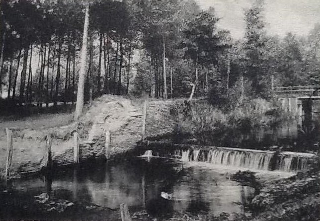
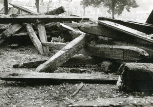
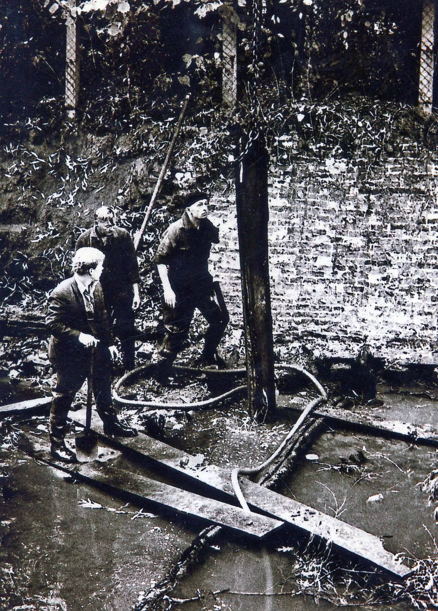
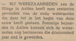
The mill finally disappeared around 1900; only the wheel of the corn mill remained at that time. Photographs from that era show that the entire complex had fallen into decay. During works on the Slinge in 1969, approximately 200 foundation piles were removed. Today, only a remnant of a wall serves as a reminder of the watermill.
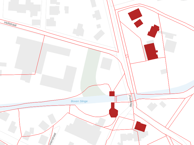
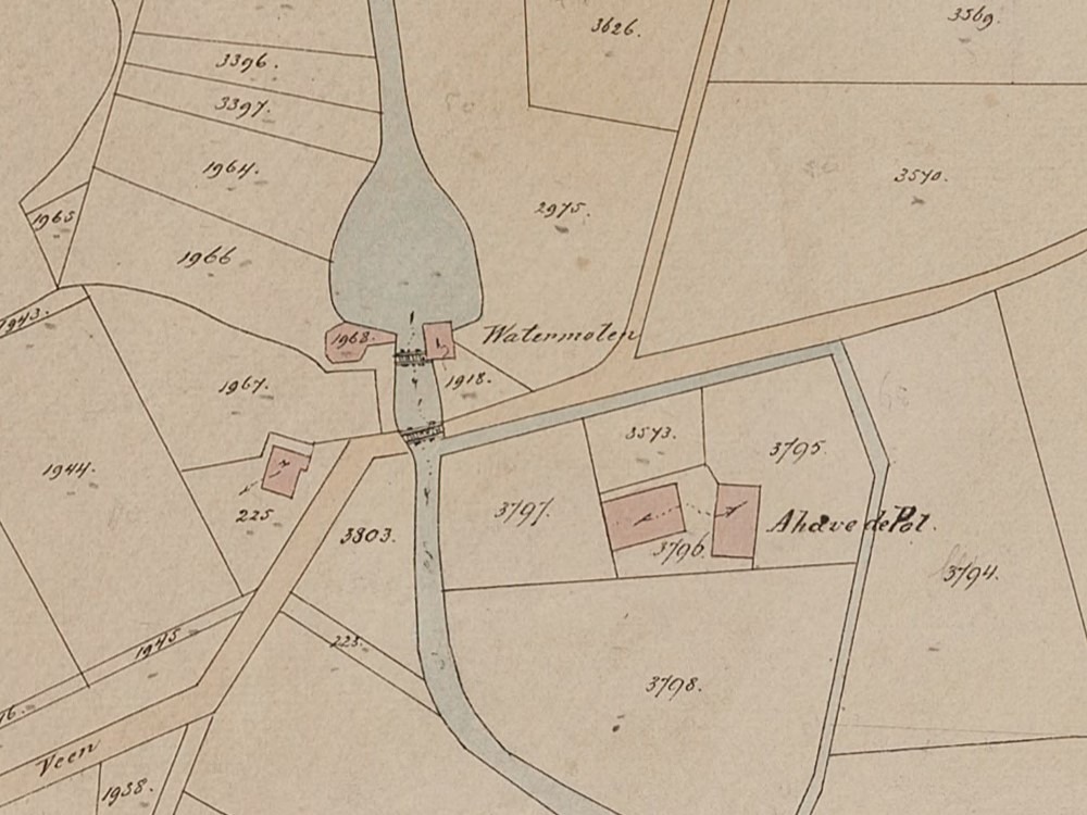
Location of the watermill, with De Ahof at the top right. All red buildings on this map were, according to 1832 land registry data, owned by Roelof Arentzen, assessor in Aalten. The red lines represent the plot boundaries at the time, which also clearly show the course of the former moat around De Ahof.
Owners
Overview is incomplete.
| Year | Plot | Owner | Description |
|---|---|---|---|
| 1832 | I-182 I-228 | Roelof Arentzen, assessor | 470 m² mill & yard 920 m² mill & yard |
| 1851 | I-182 I-228 | Engelbarta Hendrica Arendsen and Gezina Arendsen, widow of J.W. te Gussinklo | 470 m² mill & yard 920 m² mill & yard |
| 1854 | I-1918 I-1968 | Engelbarta Hendrica Arendsen and Gezina Arendsen, widow of J.W. te Gussinklo | 470 m² grain mill & yard 178 m² mill & yard |
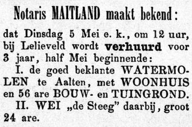
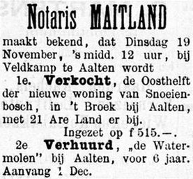
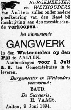
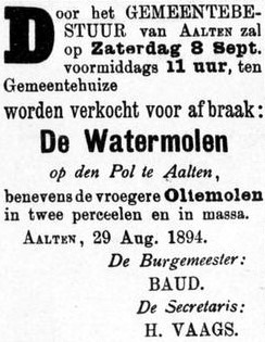
Newspaper reports
Afbeeldingen