Varsseveldsestraatweg 21, Aalten
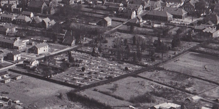
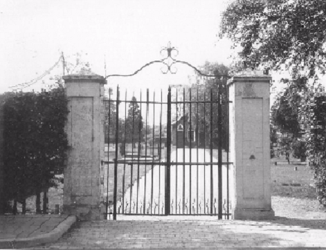
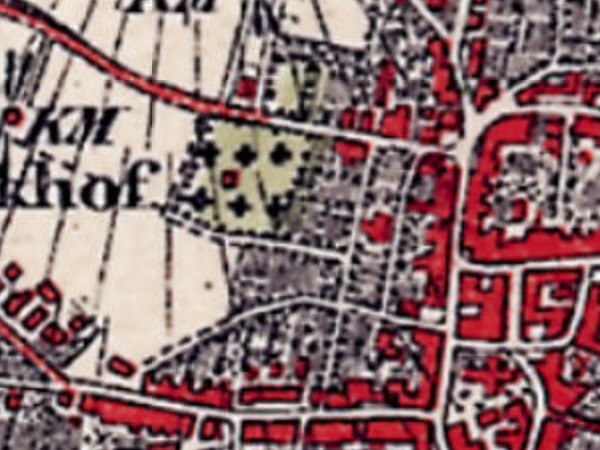
In 1827, King Willem I decreed by law that, as of 1829, cemeteries had to be established outside built-up areas. In Aalten, a site was designated for this purpose on Varsseveldsestraatweg, then known as Melkersweg.
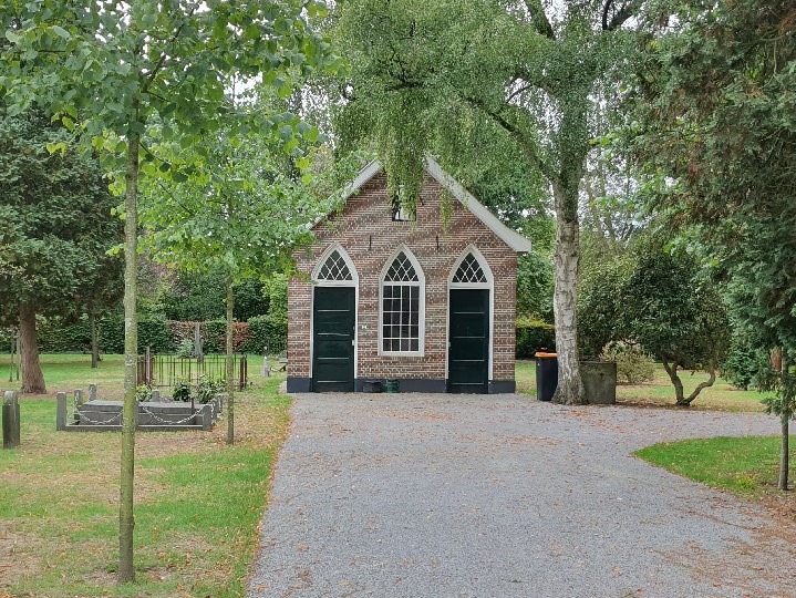
The cemetery was later extended to the west. The oldest section is characterised by relatively empty lawns with scattered old funerary monuments and a small lychgate (baarhuisje). The western part has a more structured, orthogonal layout.
At the start of the 20th century, the Old Cemetery became increasingly enclosed by the village’s encroaching urban development. This led to the need for a new cemetery. In 1923, the Berkenhove cemetery on Romienendiek was opened.
Although the Old Cemetery has since taken on the function of a ‘tranquillity park’, it is still sporadically used for interring the deceased in existing family graves.
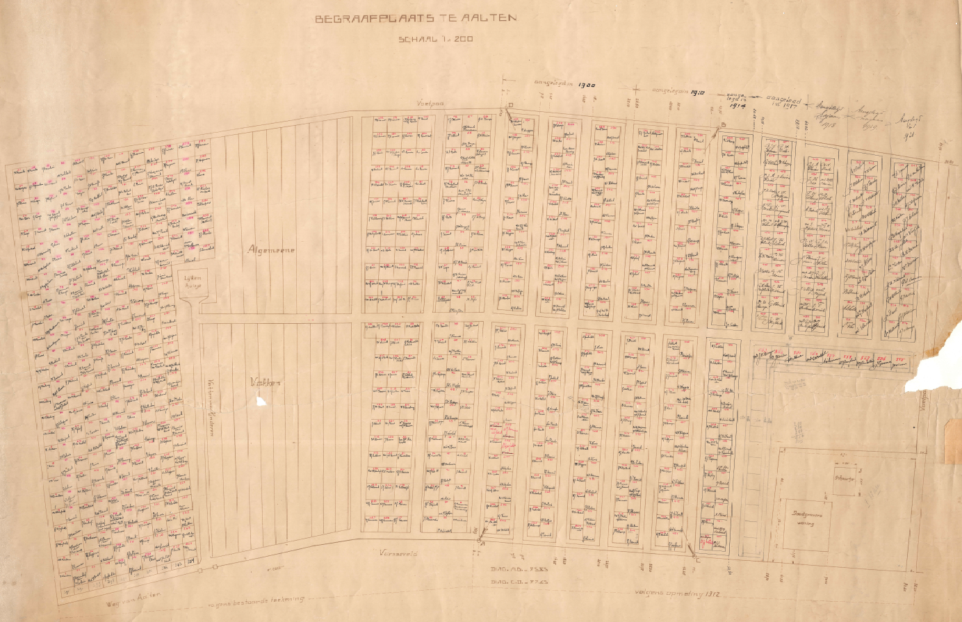
A map is available, dating from about 1921, providing an overview of all graves and those interred; click the thumbnail below for a large, legible version (PDF):
Commemorative Column
As part of the 70th anniversary of the liberation, a commemorative column was placed in the Old Cemetery in 2015 to commemorate all soldiers from Aalten who fought on and around the Grebbeberg in May 1940. Seven servicemen from Aalten lost their lives there. Their names and photographs are immortalised on the commemorative column.
Roman Catholic Cemetery
When the cemetery on Varsseveldsestraatweg was established, the Catholic community in Aalten insisted that a separate section be designated and consecrated for them. The municipality purchased a piece of land for this purpose across the street, on the corner with Molenstraat.
However, this small Catholic cemetery became full after only thirty years. In 1868, a new R.C. cemetery on Piet Heinstraat was opened. The former small Catholic cemetery on Varsseveldsestraatweg later became a public garden. However, the graves of at least 50 Catholics from Aalten have never been cleared.
In 2015, the site was redesigned at the initiative of local residents to better reflect its historical significance. An information panel has been placed at the location highlighting the history of the cemetery.
Owners
This list is incomplete.
| Year | Plot | Owner | Description |
|---|---|---|---|
| 1832 | I-1409 I-1436 | the Municipality of Aalten | 4.430 m² (protestant) cemetery 720 m² (catholic) cemetery |
View the graves on Findagrave.