The Aalterpoort was one of the two city gates of Bredevoort and formed part of the fortifications of Bredevoort. The gate was situated on the western side of the fortified town and marks the start of the Landstraat.
It is unknown when the first gate was constructed at this site. Accounts from the year 1500 show that maintenance work was carried out on the gates that year. A map by Jacob van Deventer from 1560 depicts a heavy tower with a bulwark or barbacane in front of it. On siege maps (from 1597 onwards), the city gate is shown with a drawbridge. The gate is flanked by two towers topped with spires. A “half-moon” (halve maan) outwork is situated in front of this gate.
Improvements ca. 1550
It is known that Maarten van Rossum ordered improvements between 1545 and 1555. It is possible that the gatehouse was also renovated during this period. This medieval gate was demolished in 1606, shortly after the relief of the town by Frederick Henry. From that time onwards, Bredevoort was equipped with fortifications according to the latest insights of the era, which included a new gate. This was a brick-built gate set within the rampart. The half-moon was replaced by a larger ravelin.
Demolition
Following the introduction of the Fortifications Act (Vestingwet) in 1874, the gate was demolished by residents to save on maintenance costs. The bridge was replaced by a causeway.
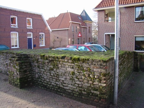
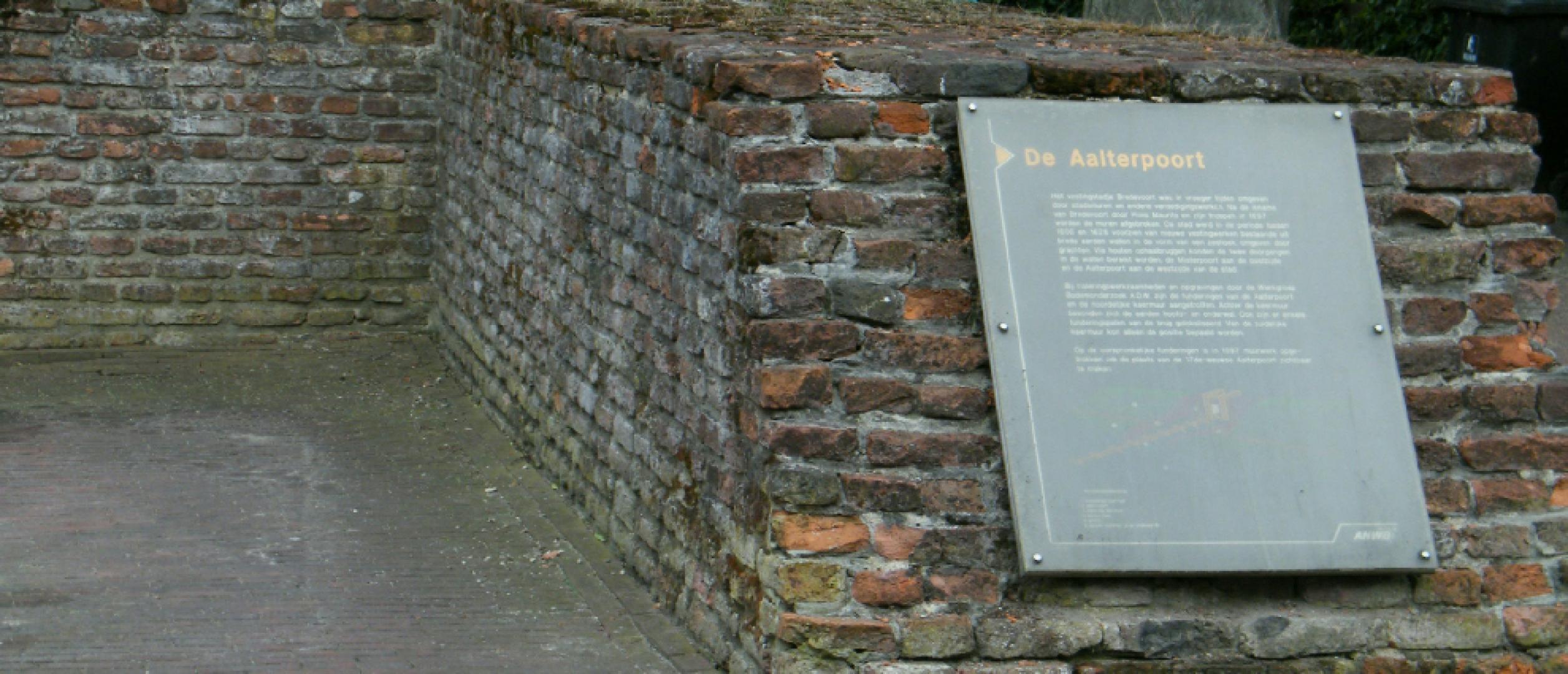
Today, two residential buildings stand at this location, completed in 1998 on the site of the former city gate. A remnant of the original city gate was incorporated into the design.