Here you will find a collection of various historical maps of—or featuring—Aalten and Bredevoort, dating from the 16th to the 20th century. Click on an image to enlarge it.
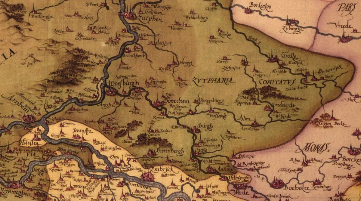
East Gelderland, ca. 1575 by Christiaan Sgrooten
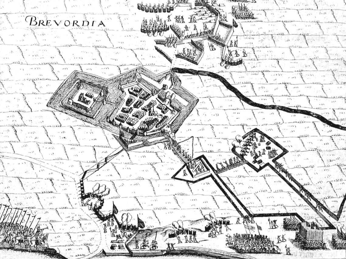
Bredevoort, illustration from 1597
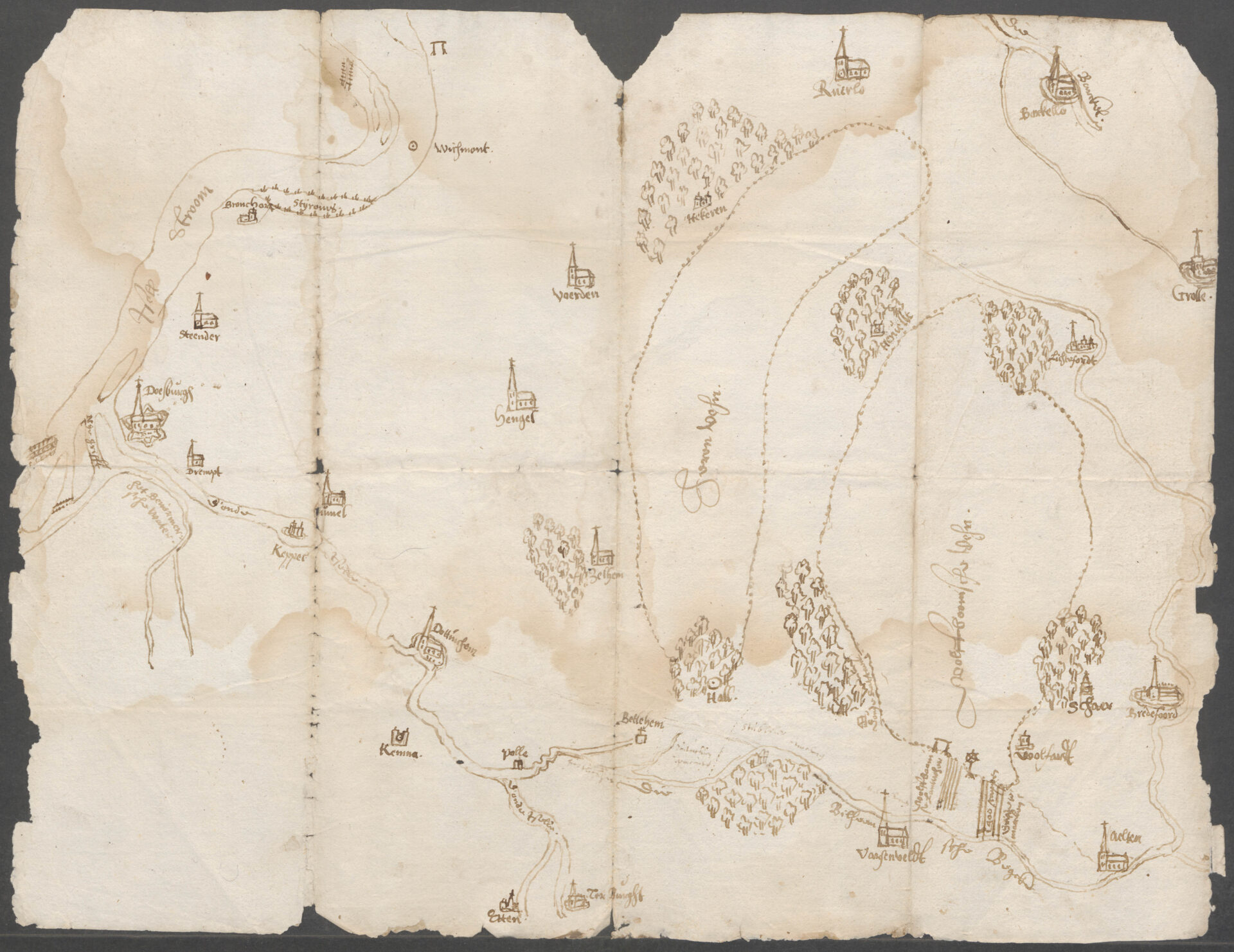
Sketch map of the projected peat canal from the Berkel to Varsseveld through the Wolfboomsche Veen, c. 1615
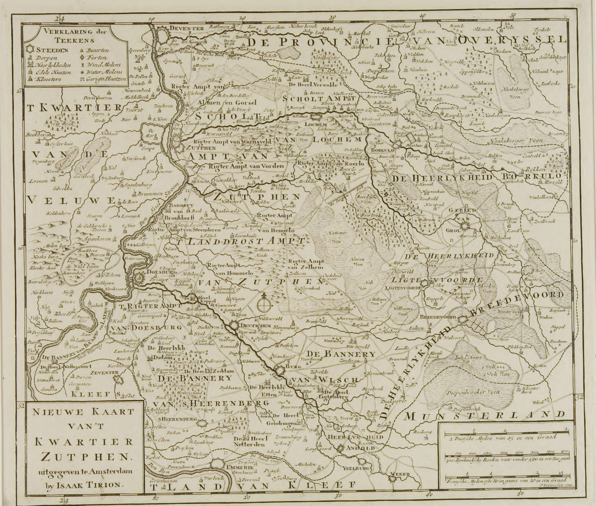
New map of the Zutphen Quarter, 1741
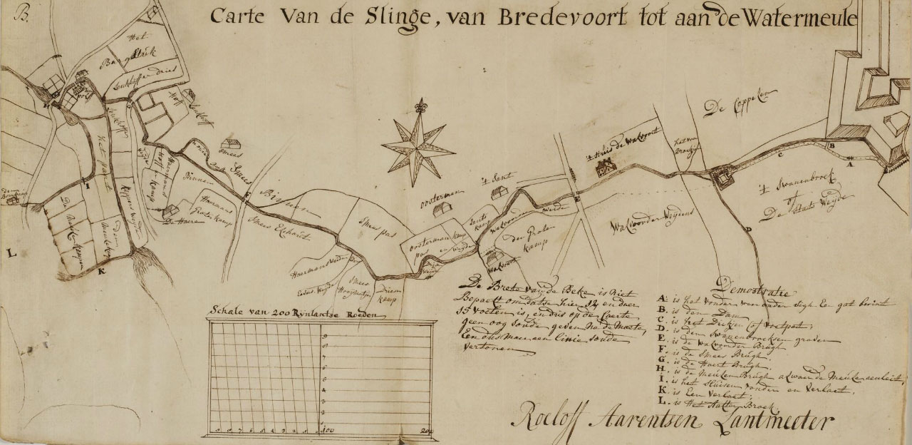
Map of the Slinge – from Bredevoort to the Watermill, 1758
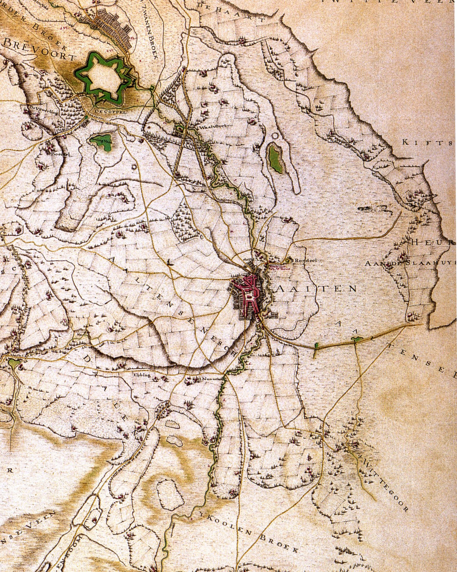
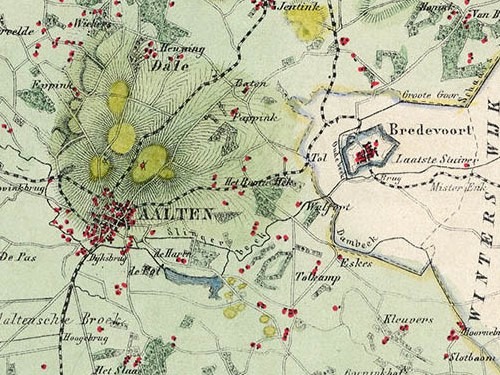
Hottinger Atlas (1785-1787), fragment Aalten-Bredevoort
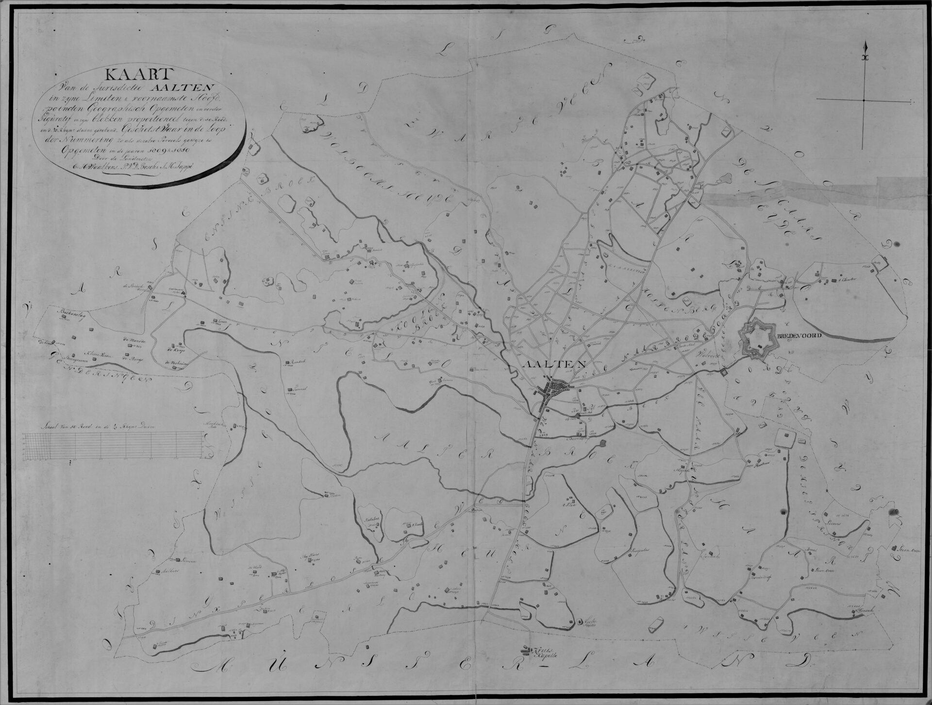
Map of the jurisdiction of Aalten, 1809–1810
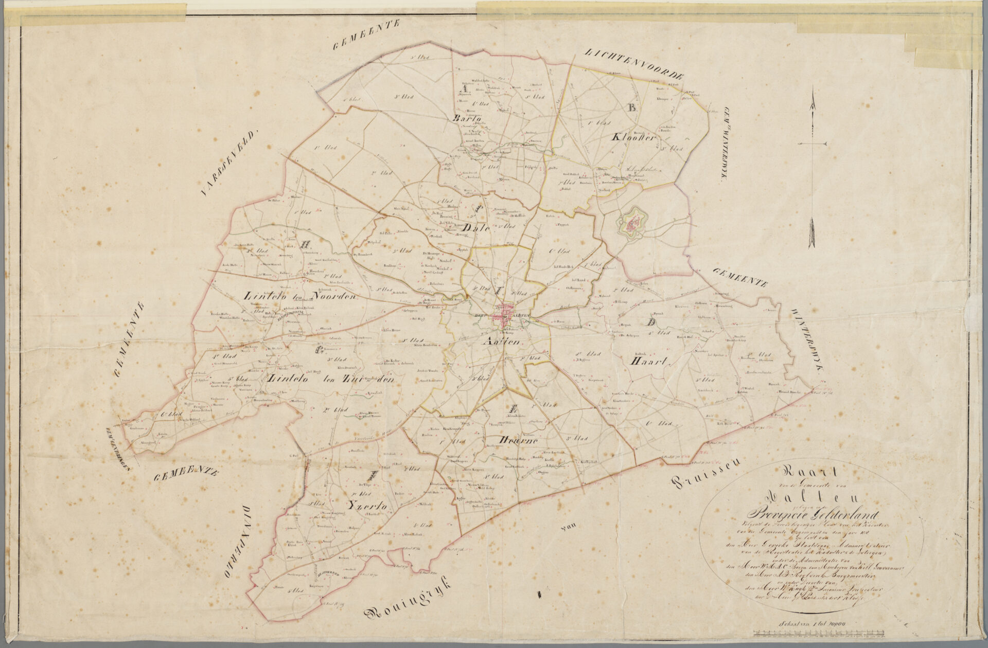
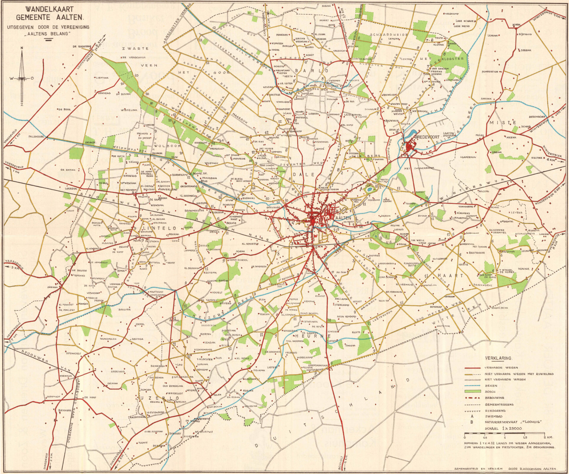
Map of the municipality of Aalten, 1828
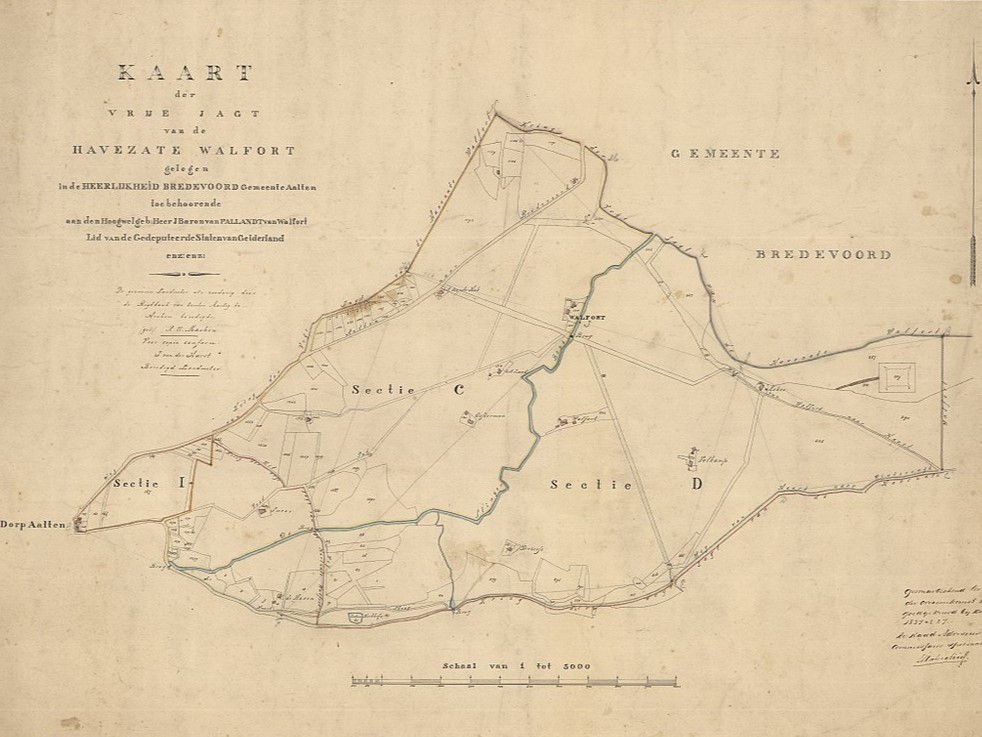
Map of the Free Hunting Grounds of Walfort Manor, 1836
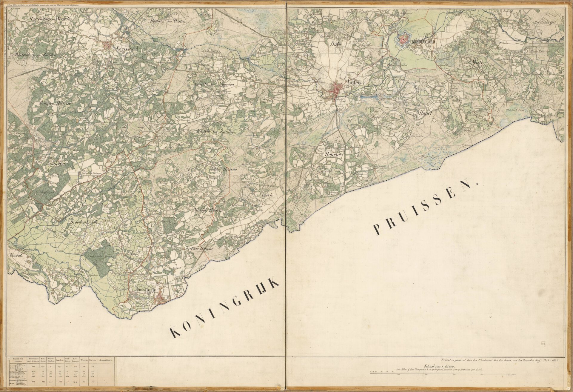
Topographic map of Aalten, 1845
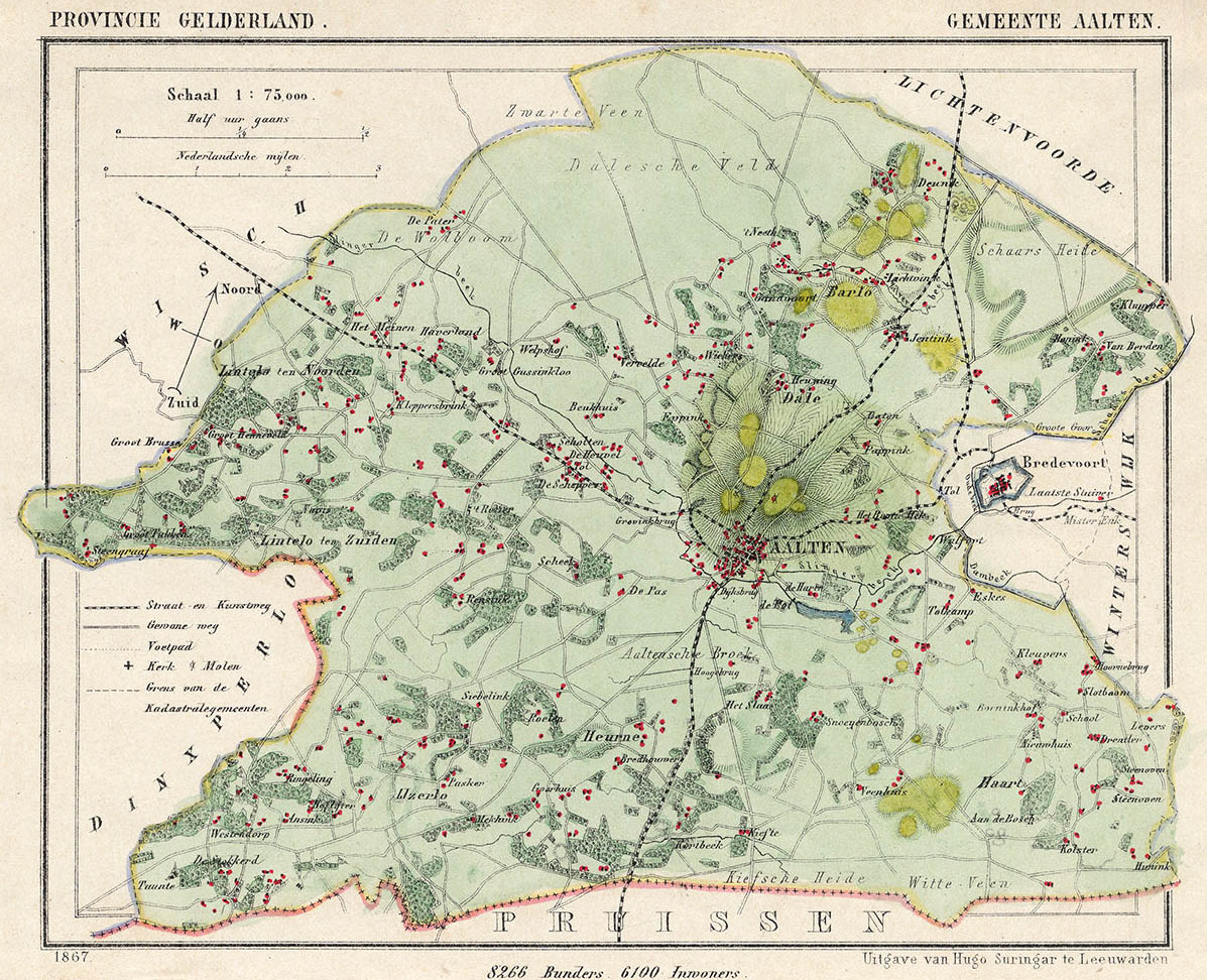
Map of the municipality of Aalten, 1867
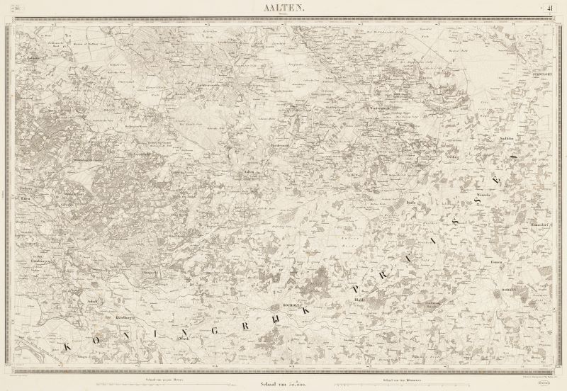
Topographical and military map of the Kingdom of the Netherlands, Aalten, 1874 (Source: Gelderland in beeld)
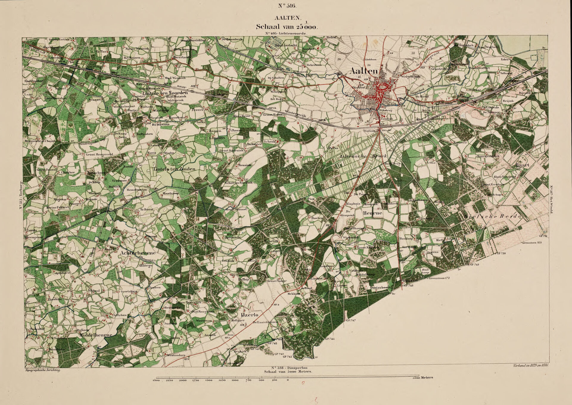
Topographic map of Aalten, 1879-1886
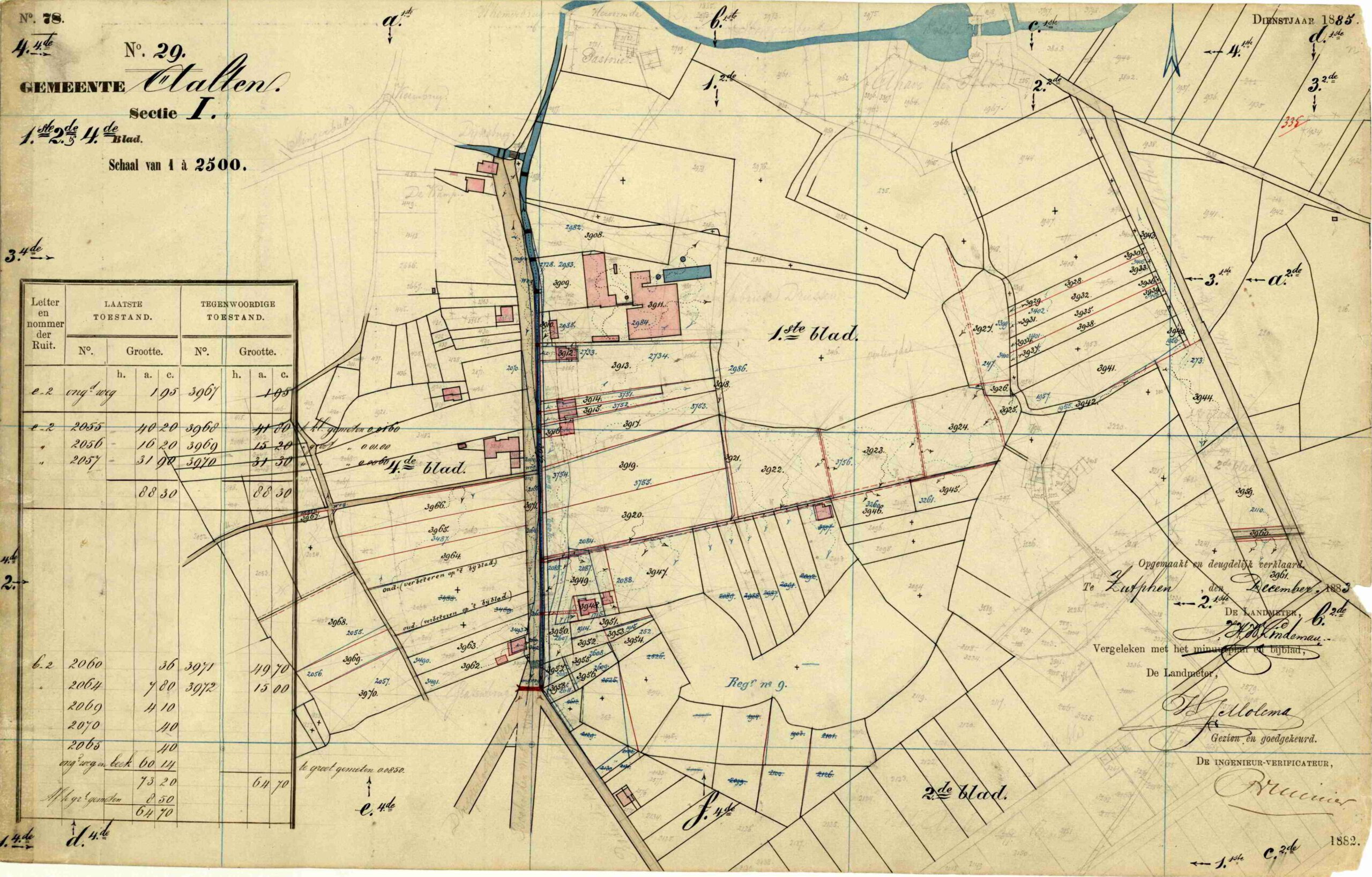
Dijkstraat, Aalten – Cadastral map fragment, 1883
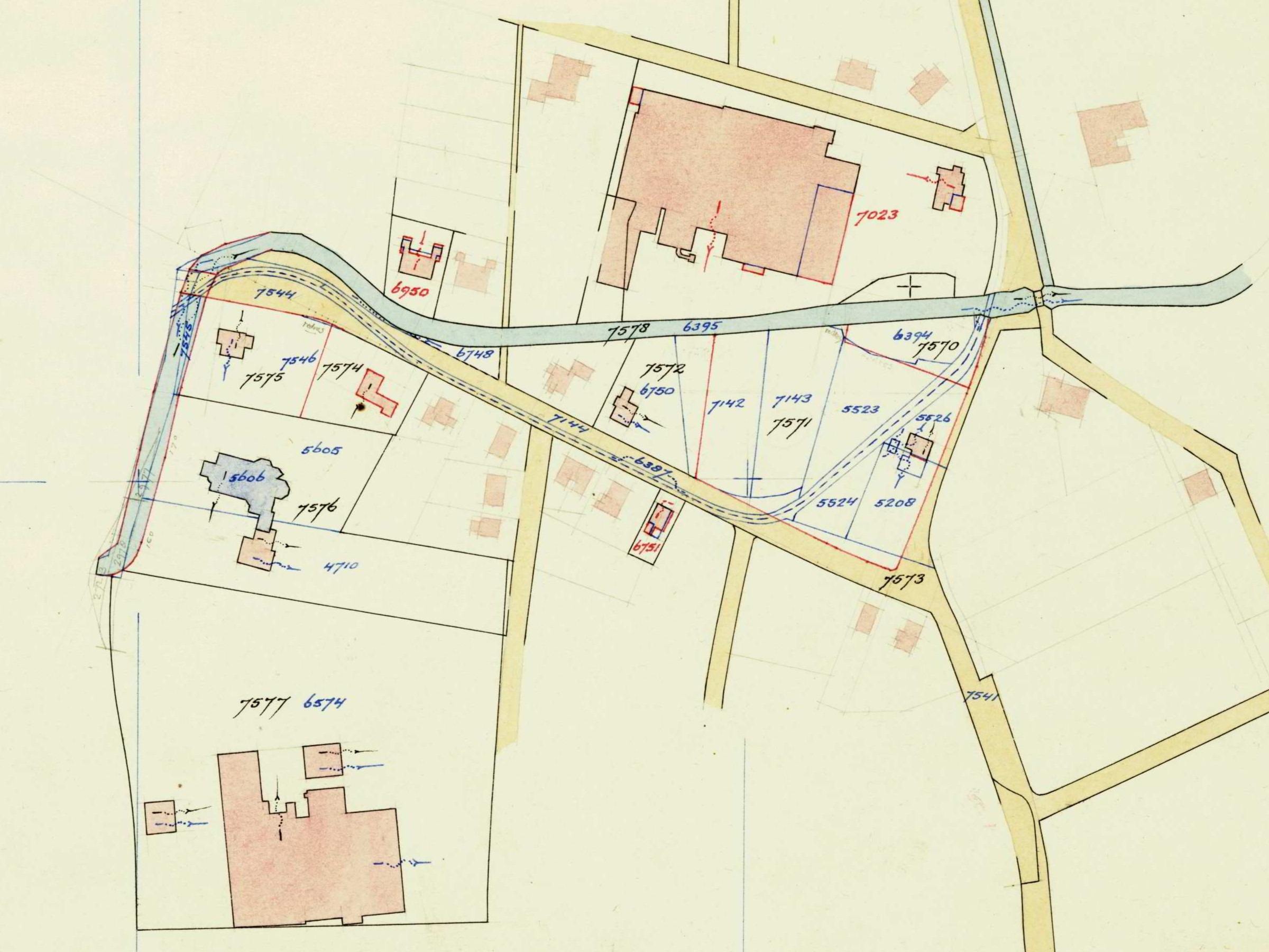
Whemerstraat Aalten area – Cadastral map fragment, 1951
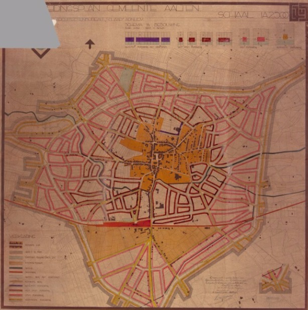
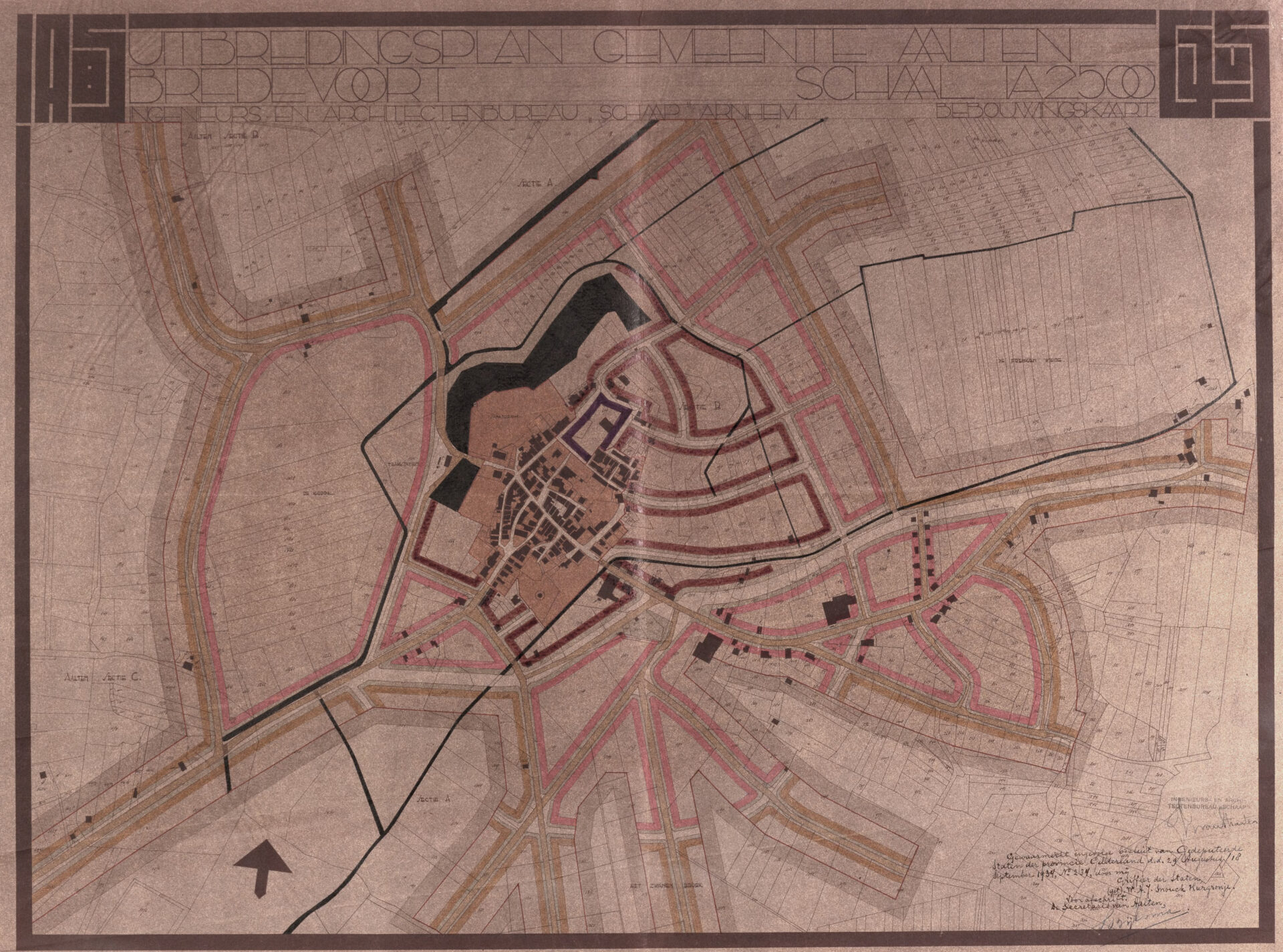
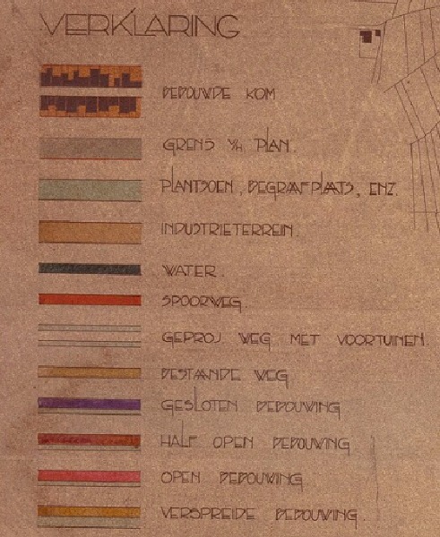
Expansion plans for Aalten and Bredevoort, 1934
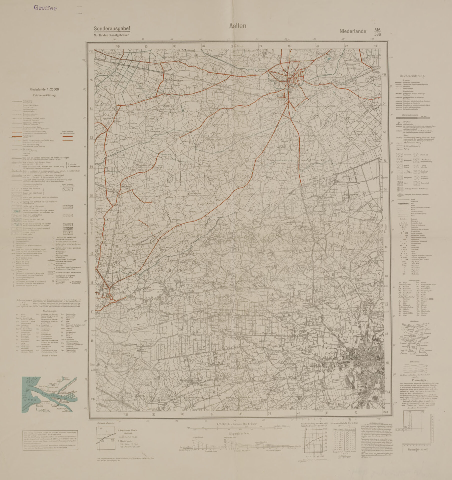
German military topographic map of Aalten, 1940–1945 (source: Gelders Archief)
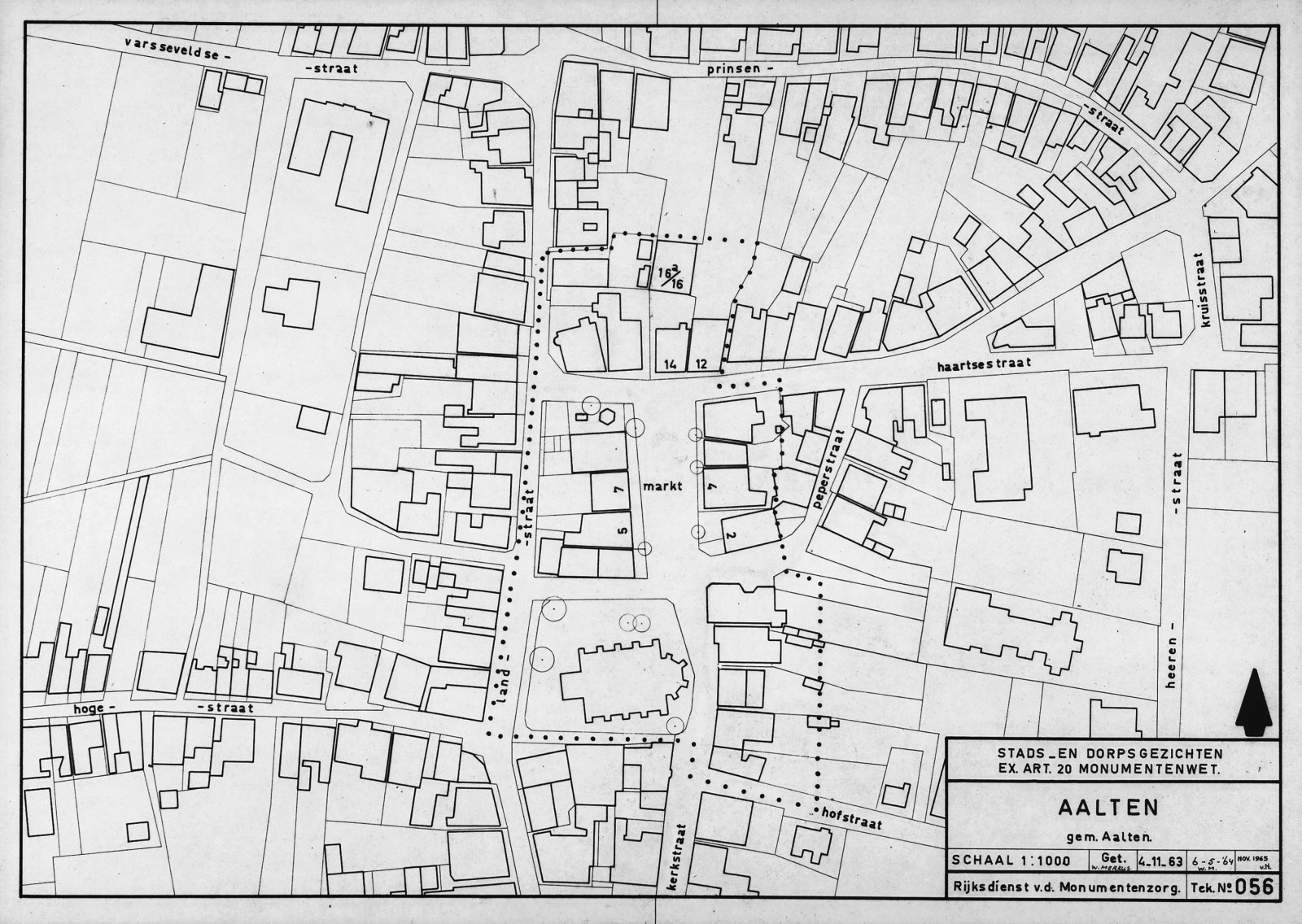
Map of the protected village center of Aalten, 1963
Deze website gebruikt cookies voor een optimale ervaring en analyse van bezoekgegevens. Ga je hiermee akkoord? Zonder toestemming werken sommige onderdelen van de site mogelijk minder goed.
Functioneel
Always active
De technische opslag of toegang is strikt noodzakelijk voor het legitieme doel het gebruik mogelijk te maken van een specifieke dienst waarom de abonnee of gebruiker uitdrukkelijk heeft gevraagd, of met als enig doel de uitvoering van de transmissie van een communicatie over een elektronisch communicatienetwerk.
Voorkeuren
De technische opslag of toegang is noodzakelijk voor het legitieme doel voorkeuren op te slaan die niet door de abonnee of gebruiker zijn aangevraagd.
Statistieken
De technische opslag of toegang die uitsluitend voor statistische doeleinden wordt gebruikt.De technische opslag of toegang die uitsluitend wordt gebruikt voor anonieme statistische doeleinden. Zonder dagvaarding, vrijwillige naleving door je Internet Service Provider, of aanvullende gegevens van een derde partij, kan informatie die alleen voor dit doel wordt opgeslagen of opgehaald gewoonlijk niet worden gebruikt om je te identificeren.
Marketing
De technische opslag of toegang is nodig om gebruikersprofielen op te stellen voor het verzenden van reclame, of om de gebruiker op een site of over verschillende sites te volgen voor soortgelijke marketingdoeleinden.

Leave a Reply