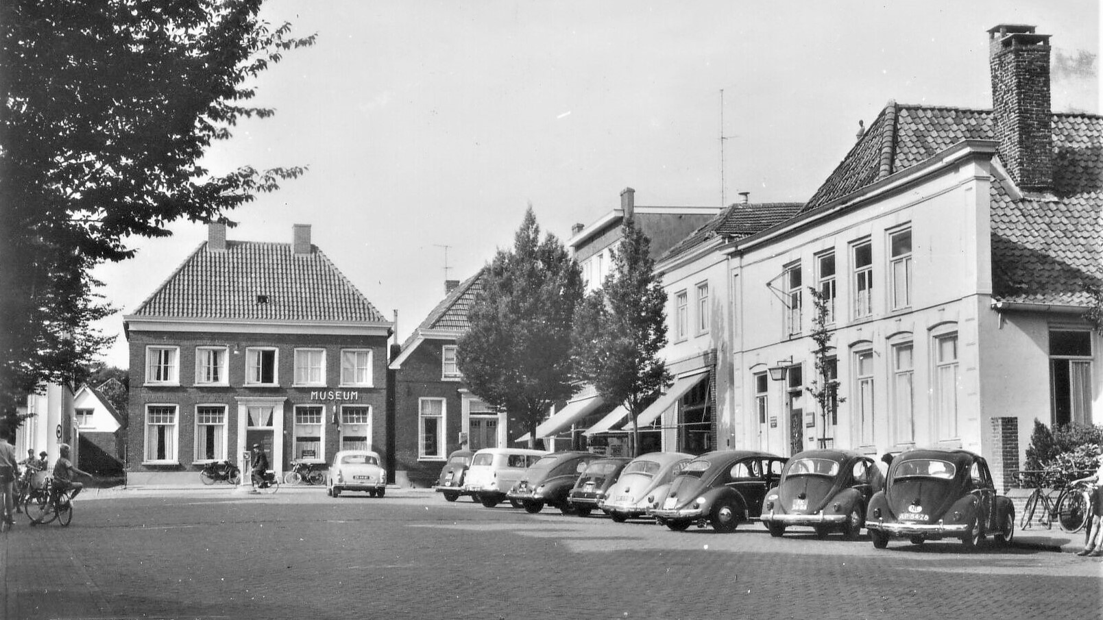
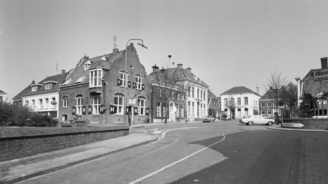
For centuries, Markt has formed the heart of daily life in Aalten. The village effectively grew up around the church and the old churchyard, of which Markt is one of the last tangible remnants. Little is known with certainty about the earliest settlement of this area. On 12 May 1966, Markt became the first area in Gelderland to be designated a protected village conservation area.
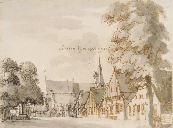
Aalten is first mentioned as a parish in 1152, although it was probably founded earlier. Around the year 1100, the lower part of the present church tower was built, and this was closely connected with the emergence of Markt. The presence of such a substantial structure, which could provide refuge in times of danger, encouraged a settlement to develop gradually around the tower. Together with the presence of a chapel, this area slowly but surely became the centre of the community.
Churchyard
The land around the chapel and tower — the church enclosure, or churchyard — was fairly extensive. Part of it was used for burials. Early inhabitants of Aalten settled along the edge of this area, roughly where Landstraat and Bredevoortsestraatweg are today.
The settlement probably developed because of its favourable position at a crossing of higher sandy ridges. Buildings spread along the slope of a hill rising from marshy ground, bounded to the south by the bed of a stream and to the north by the higher arable fields. This is how Aalten emerged: between the es and the Slinge.
Over the centuries, building became denser around the church. A path lined with houses on both sides — today’s Peperstraat — together with development along the eastern side of Landstraat, created a space that later became known as ‘Markt’.
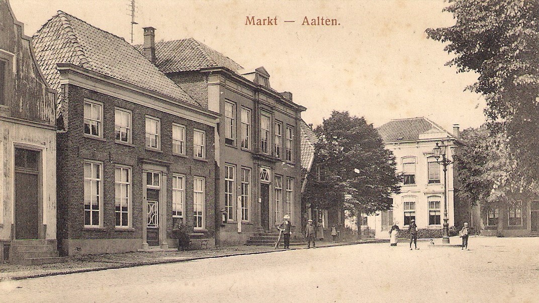
Gradually, wooden houses were replaced by brick buildings, reducing the risk of fire in the centre. Paving the open space created a suitable place for markets. These included the May Fair, the St Nicholas market on 6 December and the annual fair. The markets also encouraged innkeepers and publicans to establish themselves on the corners of Markt.
Protected village conservation area
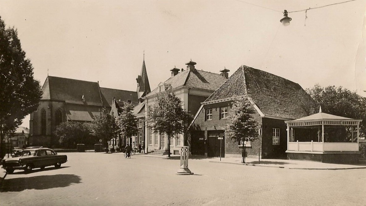
Around 1960, the historic village centre came under threat. Plans were drawn up for a new road parallel to Landstraat, running north via Kerkstraat and Markt. Its construction would have required the demolition of the present museum building and the buildings behind it. The designation of Markt and its surroundings as a protected village conservation area in 1966 removed this threat.
The planners nevertheless continued. Just one year later, new proposals were presented that would have required all the municipal buildings to be demolished. The cleared site was to accommodate a tourist information office and a public transport waiting room with bus stops. A new town hall was to be built on the site of the former entertainment hall near De Pol. These plans were ultimately never carried out either.
Land Registry 1832
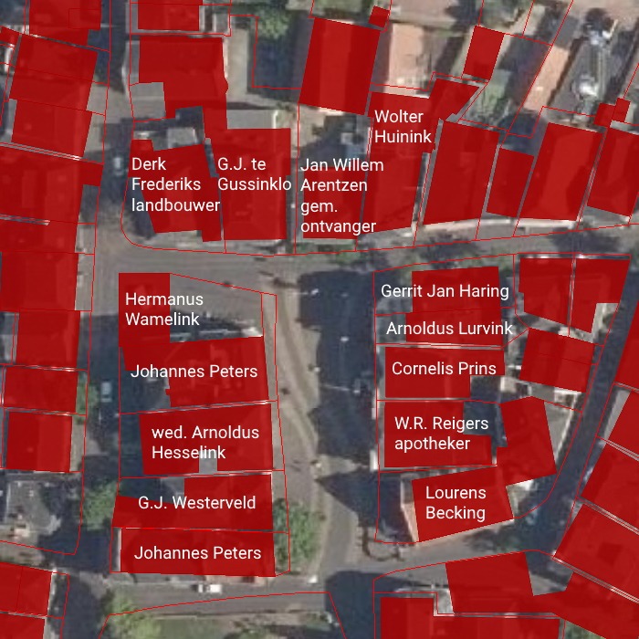
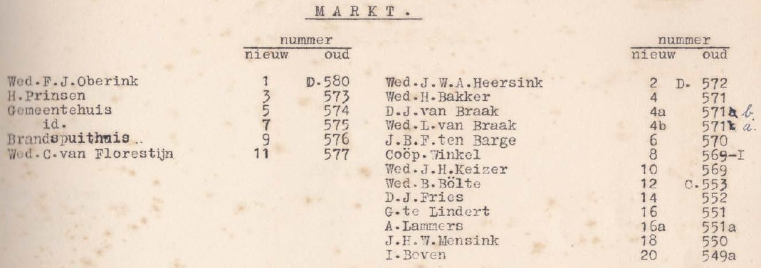
Address directory 1934