From landscape, waterways and archaeological traces to roads, housing and the growth of villages: stories of how Aalten’s landscape and built environment were shaped and developed over the centuries.
Places
Stories
1708 brick kiln discovered in ’t Klooster
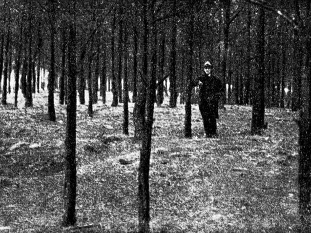
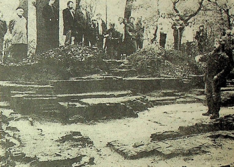
A burial mound in the Ringkampsbulten?
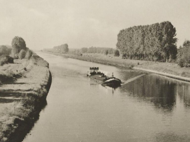
A canal passing Aalten?
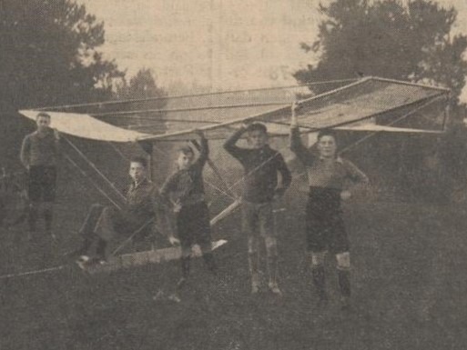
A Gliding Airfield in Aalten?
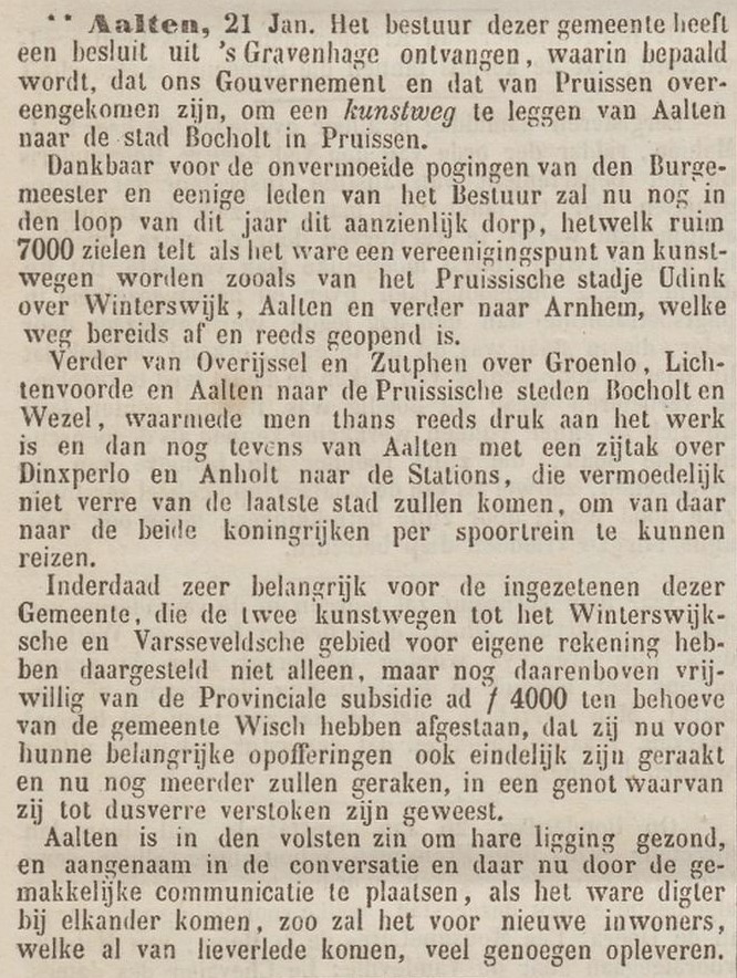
Aalten ‘junction of roads’

Aalten gets electricity

Aalten has big plans
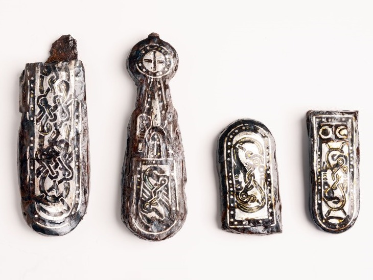
Aalten in the Middle Ages
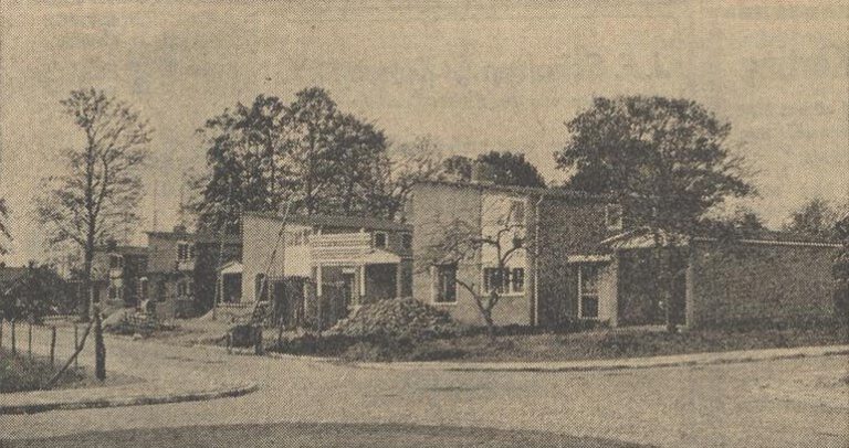
Aalten Is Getting New Housing Estates Too
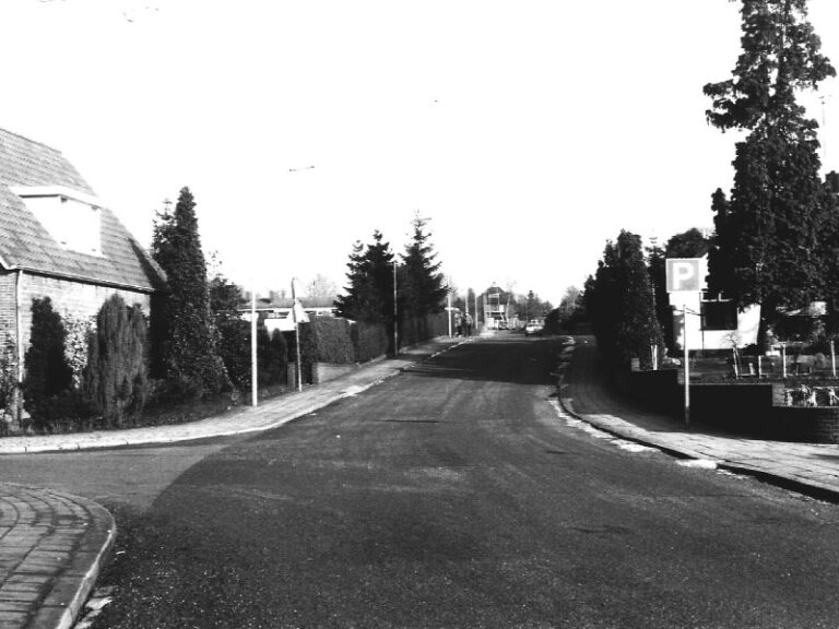
Aalten: Built on Seven Hills?
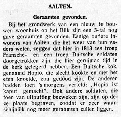
Bones found

Bridges in Aalten, Bredevoort and buurtschappen
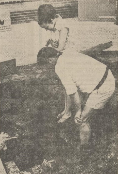
Deep well rediscovered near mill in Aalten
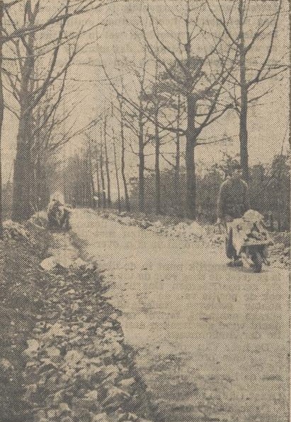
Dinxperloseweg Surfaced with Rubble from the Roman Catholic Church

Farm and Field Names in Aalten
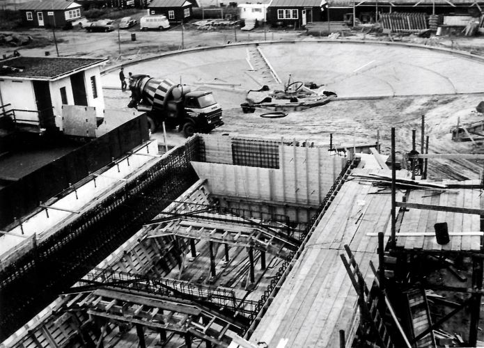
From Sewage to Compost
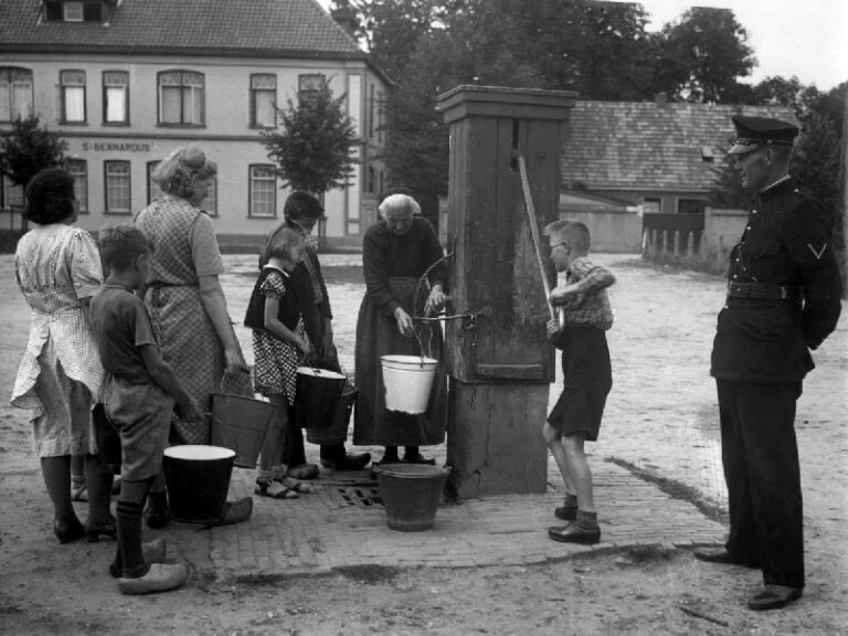
Housing Survey
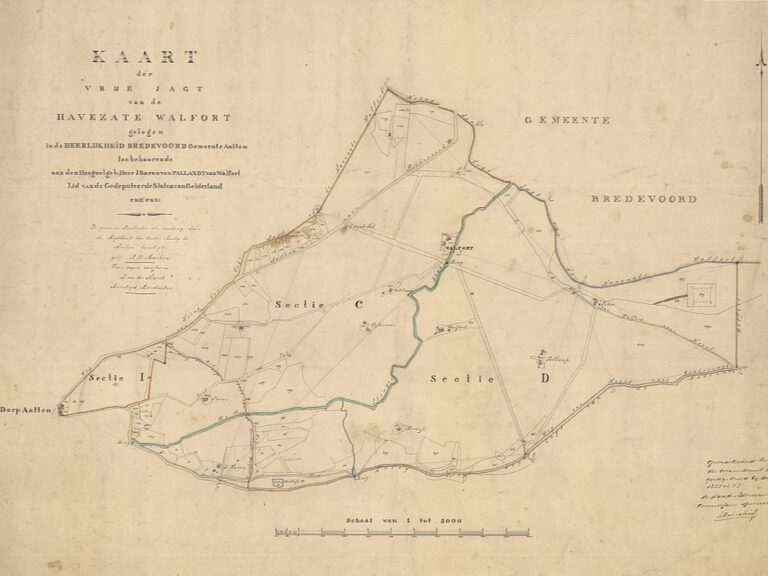
Hunting Posts of ‘t Walfort Estate
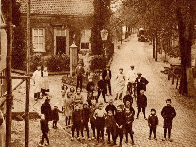
Kattenberg pump recalls the past
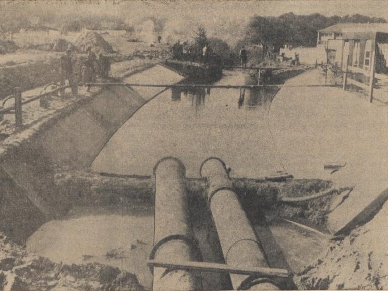
Keizersbeek in Aalten to Be Diverted
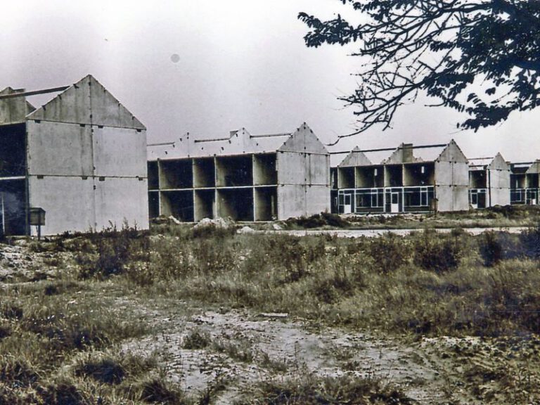
Kemena: Room for 550 Homes

Land consolidation in Aalten
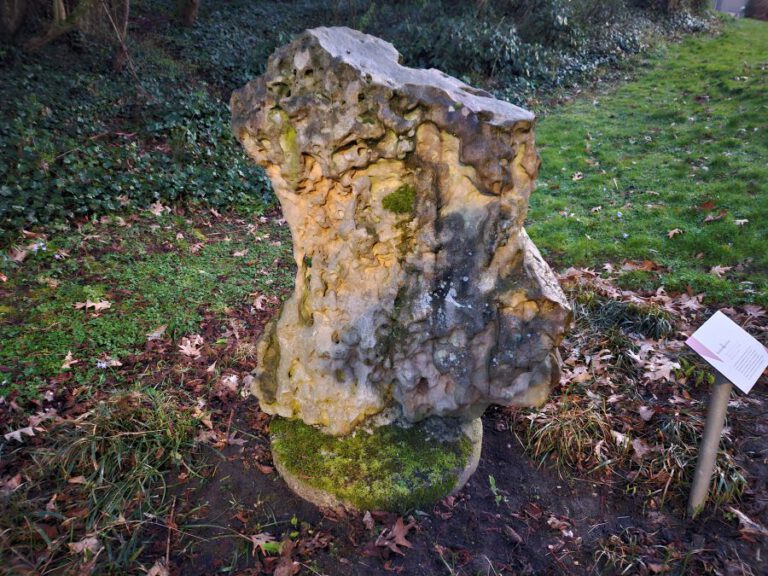
Lignite Sandstone
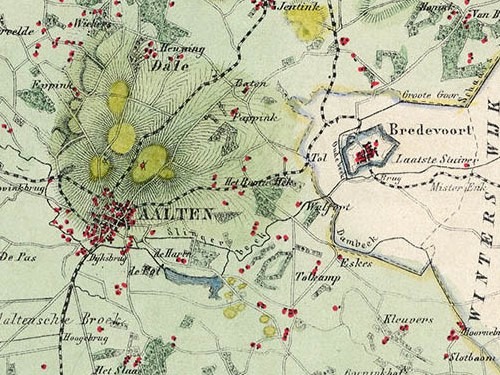
Maps
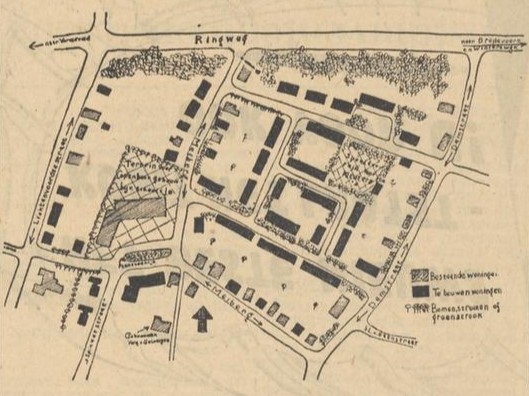
Meiberg to Be Developed
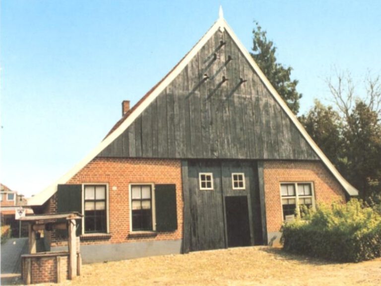
Municipal and National Monuments
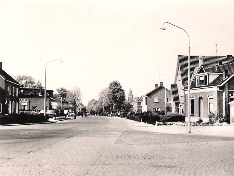
Names for New Roads in Aalten
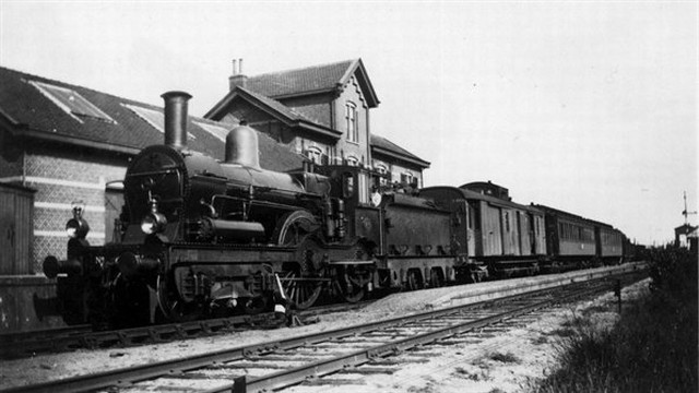
North-South Line
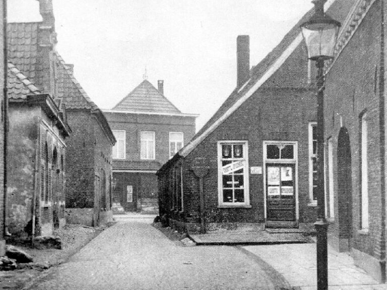
Old Aalten Bottlenecks
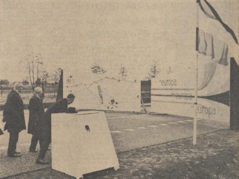
Opening of the Hameland Route
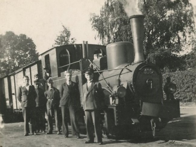
Plans for a steam tram line
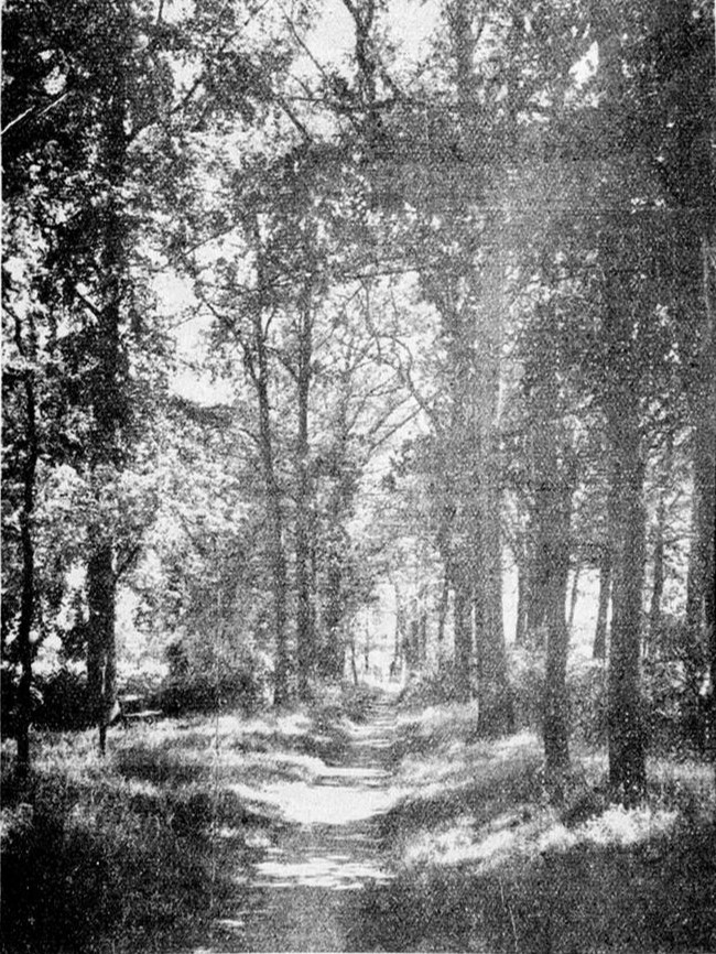
Preserving the Nannielaantje
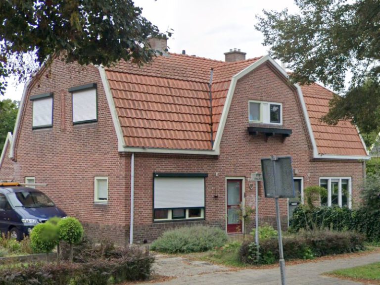
Public Housing Association
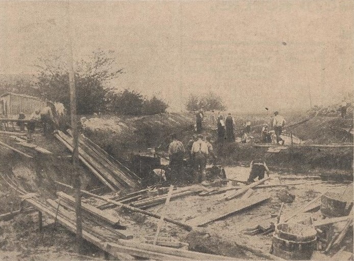
Rerouting the Slingerbeek and Building the Richterink Bridge
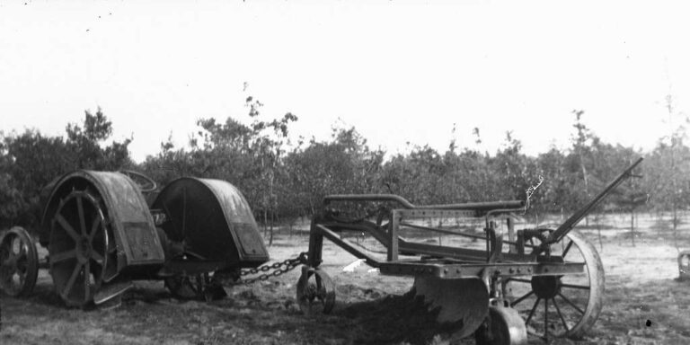
Road Grader Demonstration on the Romienendiek
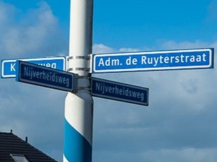
Street Naming in Aalten and Bredevoort
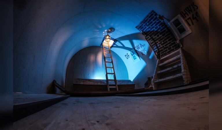
The burial vault in the Old St Helen’s Church in Aalten

The Hessenwegen in Aalten and Bredevoort
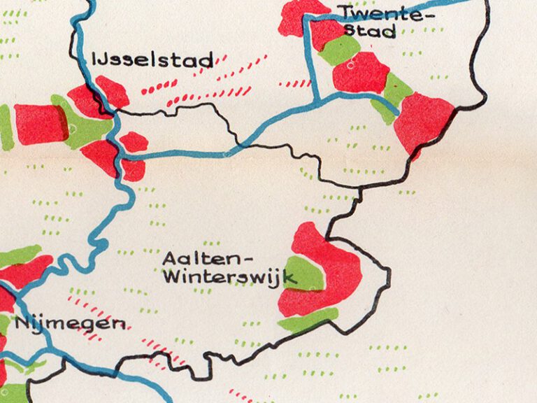
The Netherlands in the year 2000
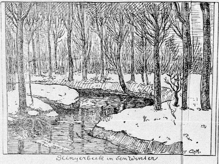
The Slingerbeek
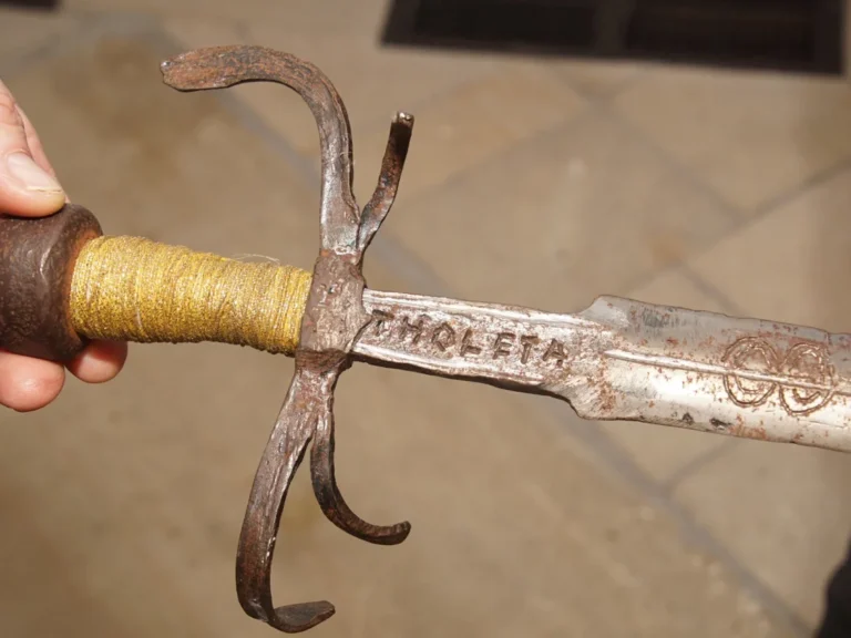
The Spanish Sword ‘Tholeta’
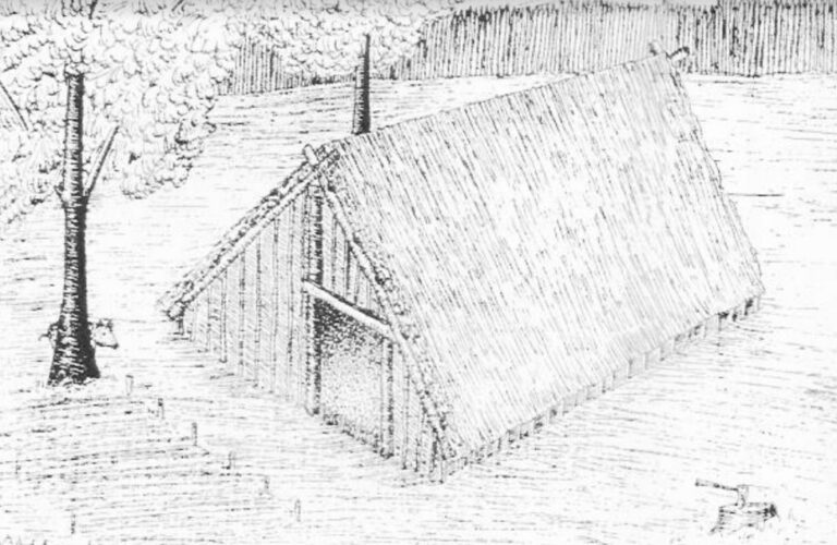
Traces of 1100-year-old settlement in Aalten
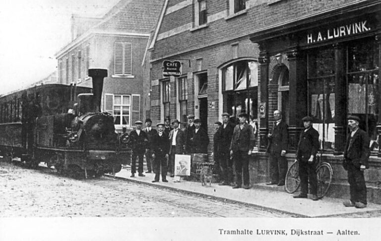
Tram line Lichtenvoorde–Bocholt
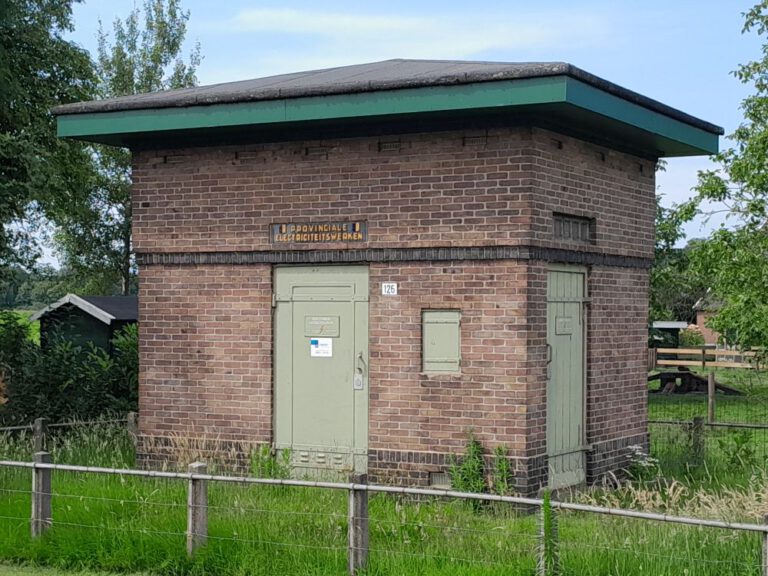
Transformer substations in Aalten
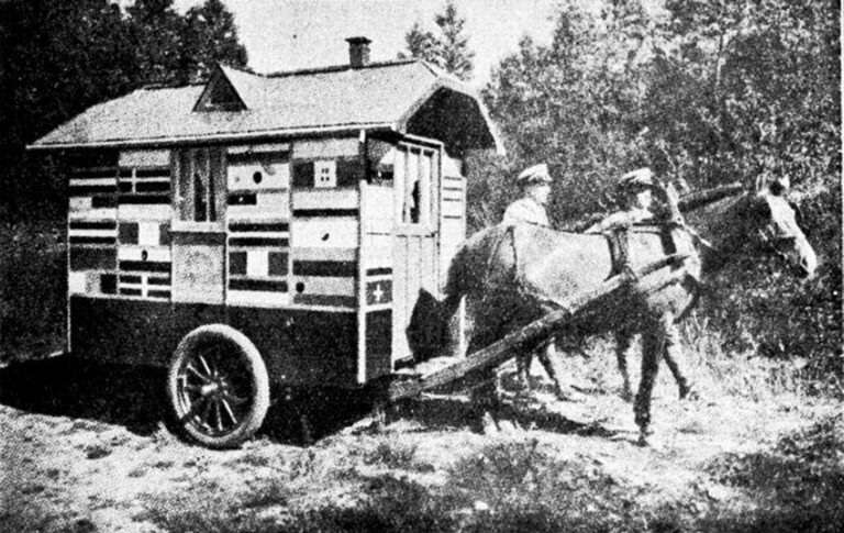
Traveller Caravans
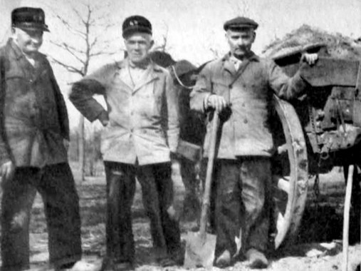
Urnfield in Barlo
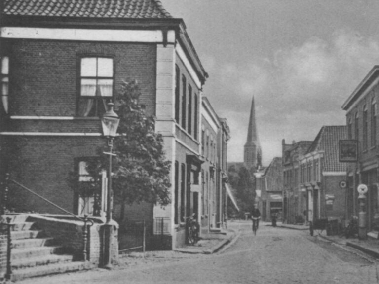
When the Visitors Come