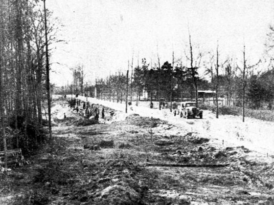
Access to Aalten changed dramatically over the course of several centuries. Old trade routes and sandy tracks gradually gave way to paved roads in the nineteenth century. The railway, tramways and increasingly better road connections followed.
For centuries, an important route between Bocholt and the towns along the IJssel ran through Aalten. As early as 1854, Aalten was described as a ‘meeting point of roads’. The opening of the railway station in 1885 and the Lichtenvoorde–Bocholt tramway in 1910 strengthened connections with the surrounding region and with Germany. When the Hamelandroute opened in 1966, through traffic gained a new north–south route.
Bridges, street improvements, public utilities and plans that were never realised — including railway lines, a canal and a gliding airfield — also show how Aalten repeatedly sought to improve its location and accessibility.
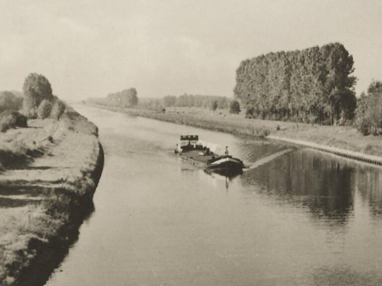
A canal passing Aalten?
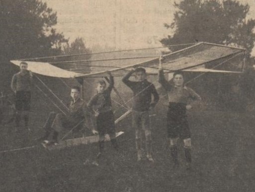
A Gliding Airfield in Aalten?
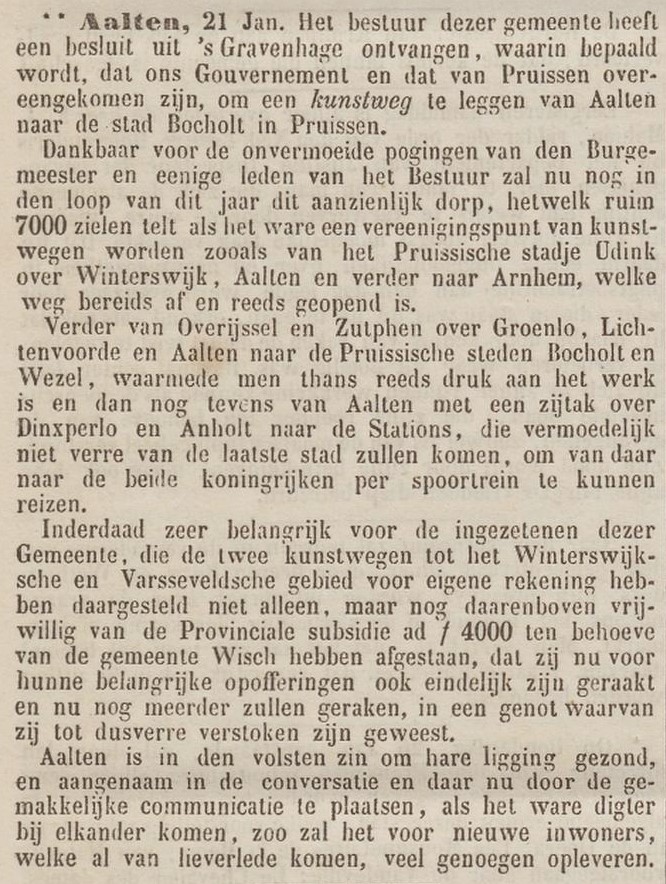
Aalten ‘junction of roads’

Aalten gets electricity
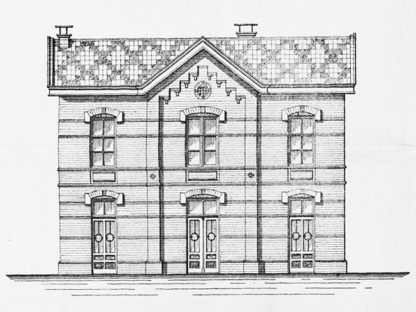
Aalten on the railway

Bridges in Aalten, Bredevoort and the surrounding hamlets
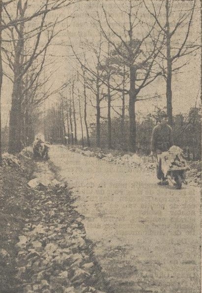
Dinxperloseweg Surfaced with Rubble from the Roman Catholic Church
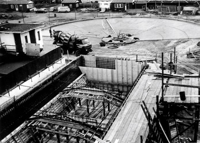
From Sewage to Compost
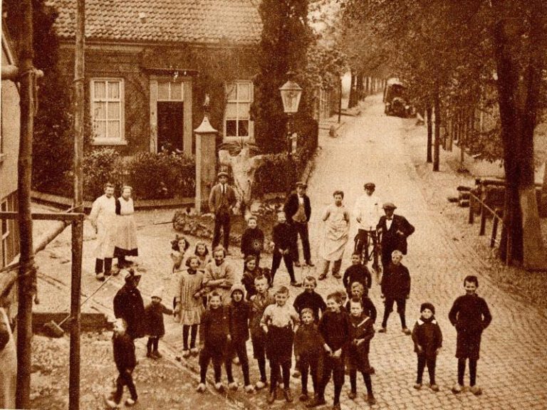
Kattenberg pump recalls the past
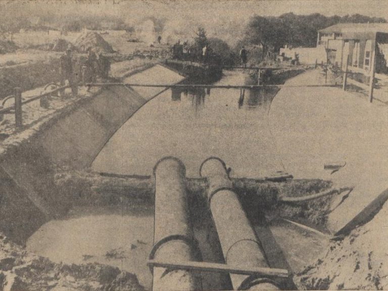
Keizersbeek in Aalten to Be Diverted

Land consolidation in Aalten

Marching towards Prosperity!
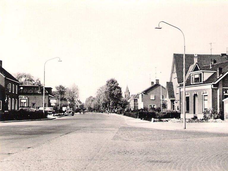
Names for New Roads in Aalten
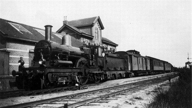
North-South Line
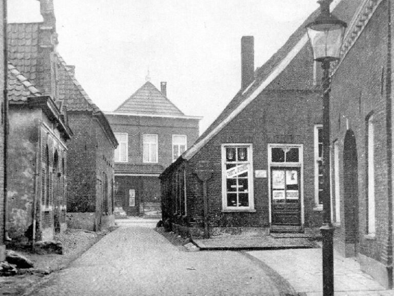
Old Aalten Bottlenecks
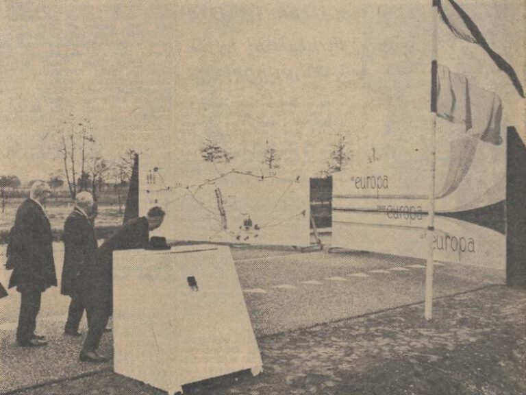
Opening of the Hameland Route
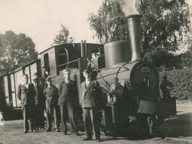
Plans for a steam tram line
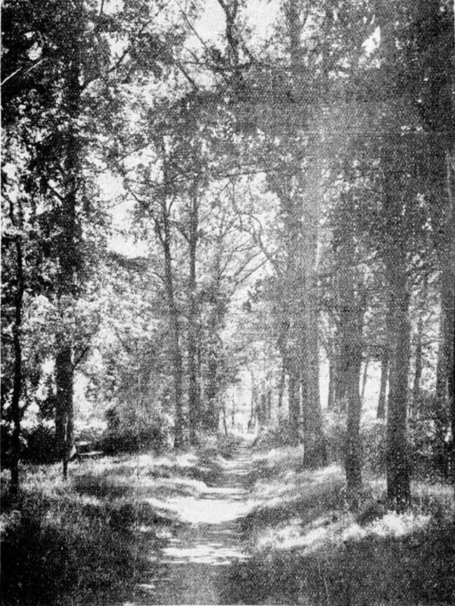
Preserving the Nannielaantje
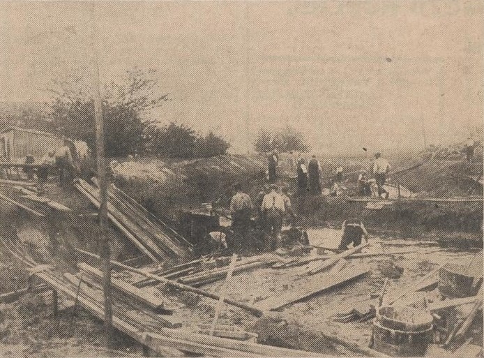
Rerouting the Slingerbeek and Building the Richterink Bridge
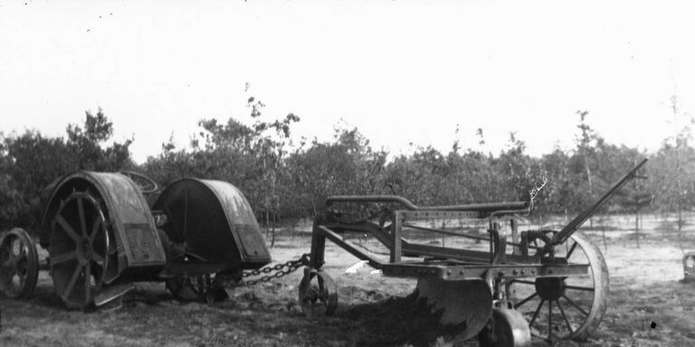
Road Grader Demonstration on the Romienendiek
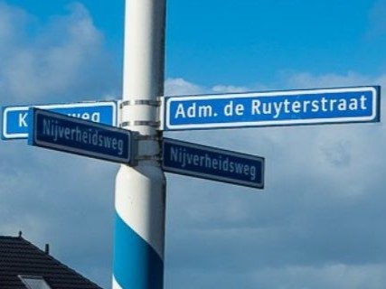
Street Naming in Aalten and Bredevoort

The Hessenwegen in Aalten and Bredevoort
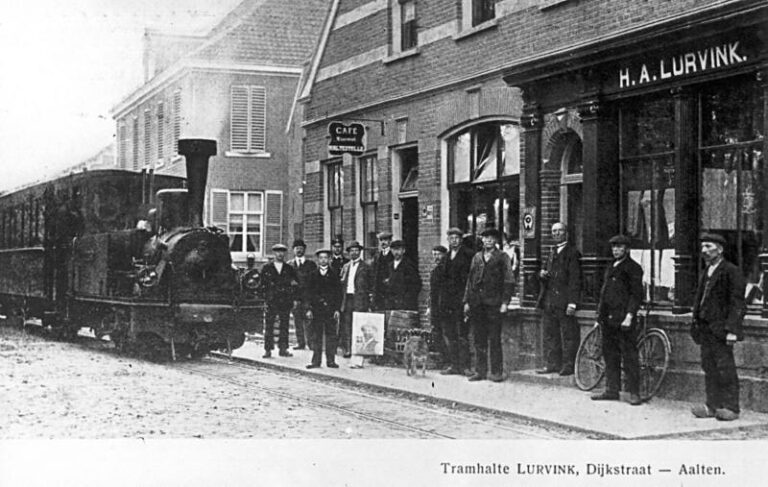
Tram line Lichtenvoorde–Bocholt
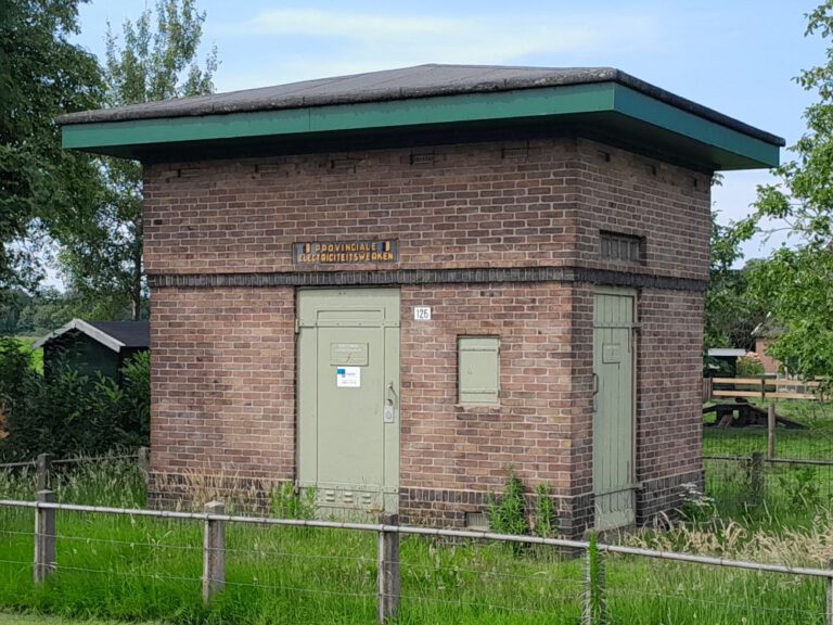
Transformer substations in Aalten
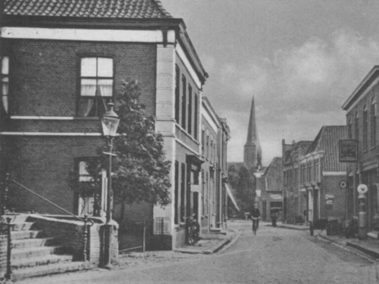
When the Visitors Come