
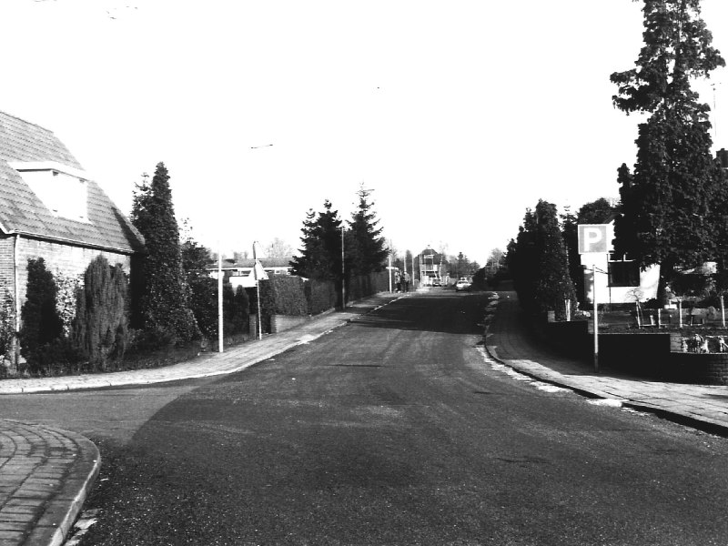
Anyone walking through Aalten’s old village centre will immediately notice it: for Dutch standards, the village is remarkably hilly. It is sometimes said that Aalten, like Rome, is built on seven hills. But where are these seven hills?
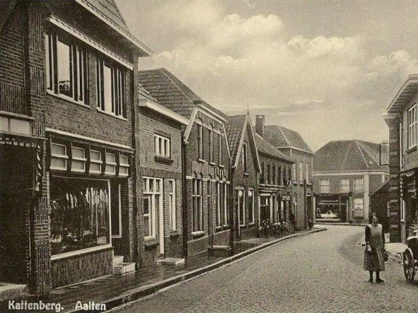
Looking up from the lower parts of the village, one can certainly imagine this comparison. Streets sometimes climb or descend surprisingly steeply, and names like Kattenberg, Köstersbulte, Hoge Blik, Lage Blik, Meiberg, Hoge Veld, Lage Veld, Dalweg and Steile Dalweg almost seem to confirm the story naturally.
However, anyone who then tries to pinpoint these seven hills precisely will quickly get stuck. For which ones are they?
Like Rome?
With Rome, the comparison is clear. The Italian capital has historically been associated with seven hills. The expression that Rome is built on seven hills therefore has a centuries-old tradition.
For Aalten, it is different. There are plenty of bumps, slopes and differences in elevation to be found, but why there should be exactly seven is not clear.
Perhaps we should not take those seven too literally.
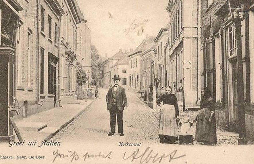
From the Slingebeek to the water tower
The elevation map of the Actueel Hoogtebestand Nederland clearly shows what is actually happening. The old village centre lies against a significant slope.
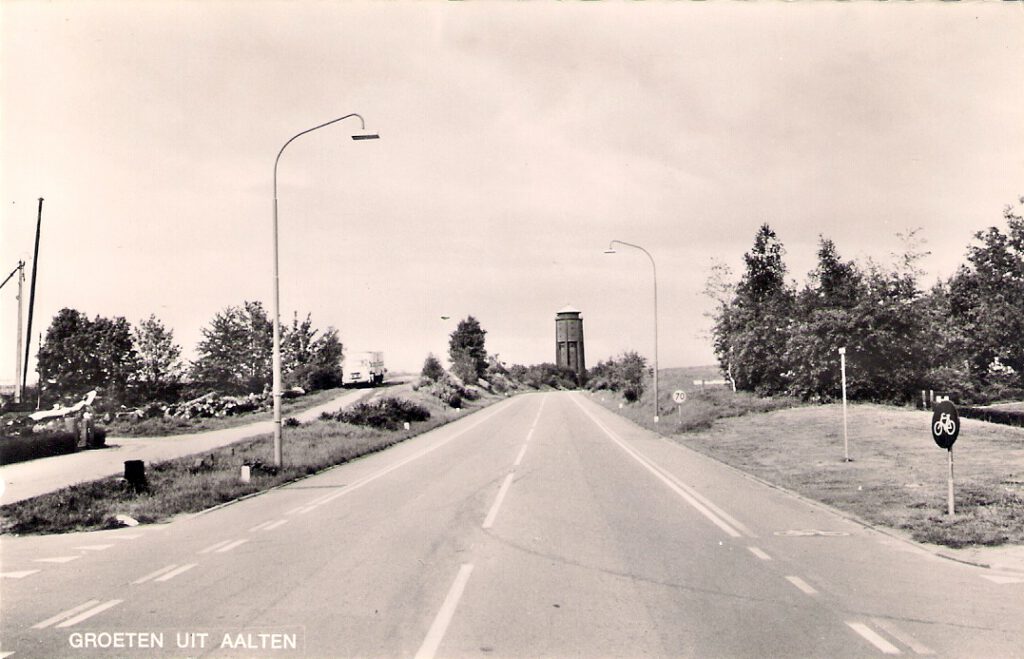
Near the Slingebeek, at the level of Dijkstraat, the ground level is approximately 24.5 metres above NAP. At the water tower, about 850 metres further on, it is approximately 36.5 metres. Over this relatively short distance, the terrain therefore climbs about twelve metres.
Locally, it rises considerably faster. The steep section of the Beeklaan, between Hogestraat and Varsseveldsestraatweg, covers a difference in elevation of about ten metres over a distance of approximately two hundred metres. That amounts to an average gradient of about 5 per cent.
This topography has not only helped shape the current streetscape. It may also have played a role in the earliest settlement of Aalten. At De Hoven, remains of pit dwellings and other traces of settlement from the 8th and 9th centuries have been found. The location was favourable for this: high and dry, while water from the Slingebeek was nearby. The findings indicate that De Hoven was among the earliest inhabited parts of Aalten.
The difference in elevation is sometimes literally reflected in the current buildings. At De Hoven, both the former library on Hogestraat and the supermarket located above it could have street-level entrances. Something similar can be seen at the former Rabobank, now the municipal office. The building connects to Hofstraat and the lower-lying Lage Blik at different floor levels.
The Aaltense Es
The explanation for all this climbing and descending is probably simpler than seven separate hills. Aalten lies on the south-western edge of the East Netherlands Plateau, between the higher Aaltense or Aalter Es and the lower-lying area of the Boven Slinge.
The old village centre is largely situated on and against the slope of this esker. The various bumps and undulations in and around the centre can therefore be better seen as parts of one coherent topography rather than as separate hills.
Anyone walking from the Slingebeek via Landstraat to the water tower climbs from one of the lowest to one of the highest parts of the Aaltense Es.
Centuries ago, the Calvary Hill was also located there. A document from 1580-1581 mentions a plot on the Aaltense Es that lay near “den Berch van Calvarien” (the Mount of Calvary). It is assumed that this elevated spot was located in the vicinity of the current Berkenhove cemetery and the water tower.
That this high place has had a special, possibly symbolic, meaning for centuries could also be evident from the Aaltense Lime Tree, which has traditionally stood here. At least in the eighteenth century, a lime tree already stood in this spot; the tree is also indicated on old maps. The lime tree later became the symbol of Aalten and was incorporated into the municipal coat of arms.
The landscape gave the streets their names
That high and low have always been very tangible concepts for Aalten residents is still reflected in the local place names.
There is a Hoge Blik and a Lage Blik, a Hoge Veld and a Lage Veld. We know the Hogestraat, but also ’t Dal, the Dalweg and even the Steile Dalweg. Elsewhere in the village, we find names such as Kattenberg, Köstersbulte and Meiberg.
Together, these names tell much about the landscape in which the village developed.
The Kattenberg was traditionally the northernmost and highest part of the village. The Köstersbulte slopes down from the Markt past the Oude Helenakerk towards Landstraat. When there was snow, people would sledge, as on other slopes in the village.
High and low in Aalten are therefore not just concepts on a topographical map. They have found their way into the street names and the history of the village.
A very old topography
For the origin of these differences in elevation, we must go much further back in time.
Aalten lies on the edge of an old Rhine terrace that stretches between Aalten and Eibergen. Hundreds of thousands of years ago, the Rhine flowed through this part of the Achterhoek and left thick layers of sand and gravel here. Later, during the ice ages, the landscape was further shaped by glacial ice, meltwater, erosion and wind.
During the penultimate ice age, the Scandinavian ice sheet reached this region. In the last ice age, the ice itself no longer reached Aalten, but cold, meltwater and wind again caused changes in the landscape.
The result is the topography that is still remarkably well visible around Aalten. The Rijksdienst voor het Cultureel Erfgoed even calls the elevated river terrace Aalten-Eibergen a rare geomorphological phenomenon north of the major rivers.
But where are those seven hills?
This brings us back to the question we started with. We do not need to look for seven separate hills in Aalten. The comparison with Rome is primarily a nod to the remarkably hilly character of the village — and that is how it is best appreciated.
Not even the highest point
And then there is a small qualification. Anyone who thinks they have reached approximately the roof of the municipality of Aalten after the climb to the water tower is mistaken.
That lies outside the village, on the Haart. In the Ringkampsbulten nature reserve, a cover sand ridge reaches approximately 41 metres above NAP. This is the highest point in the municipality of Aalten.
The village itself has to make do with a little less. But for a country known for its flatness, Aalten still has a considerable amount of elevation difference.