


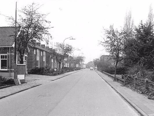
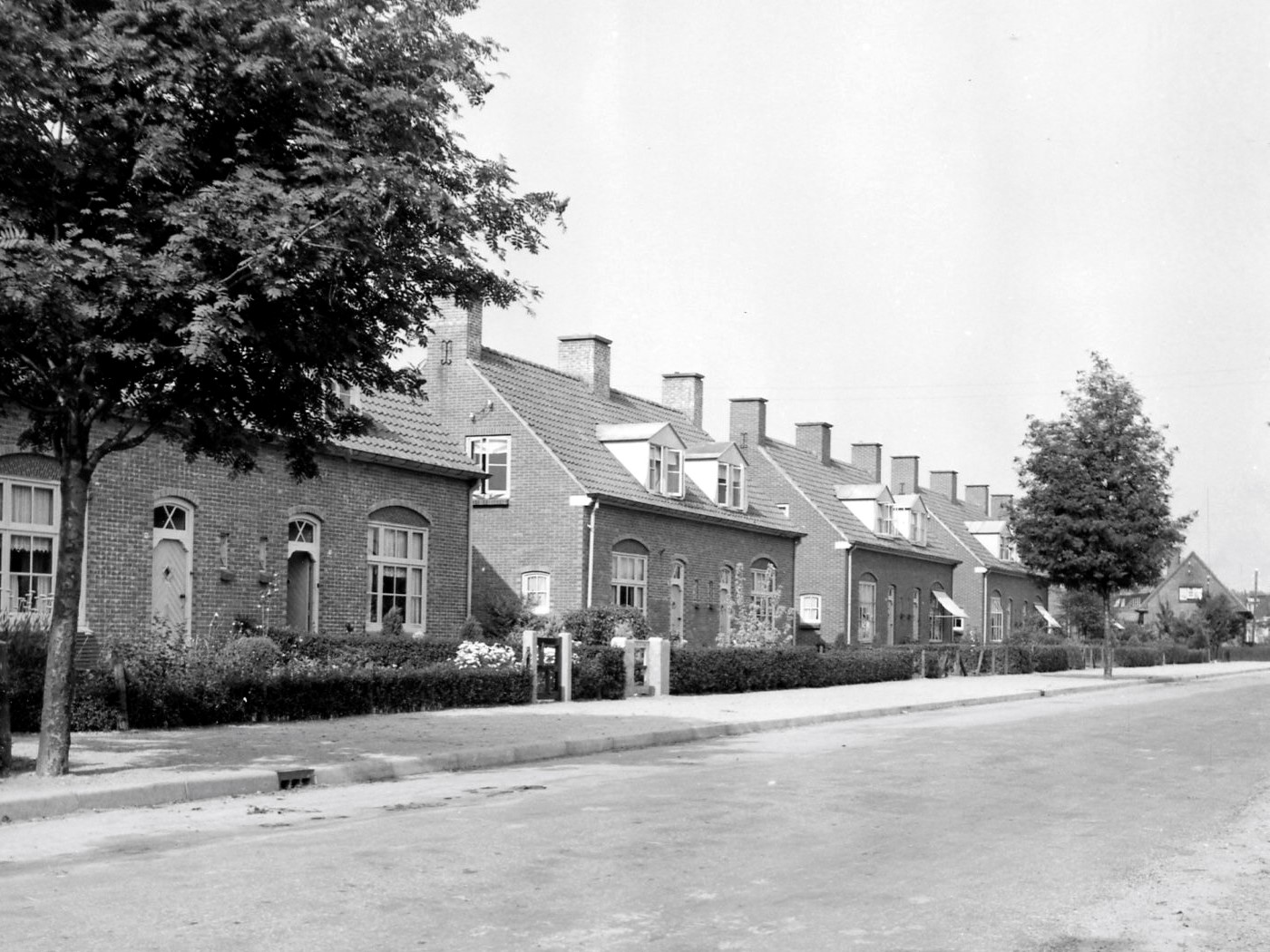
The name Admiraal de Ruyterstraat was officially adopted by the Aalten municipal council in 1933, “running from Koembrug in a south-westerly direction to the edge of the built-up area by the railway crossing.” The street is named after Admiral Michiel de Ruyter (1607–1676), one of the best-known naval heroes in Dutch history.
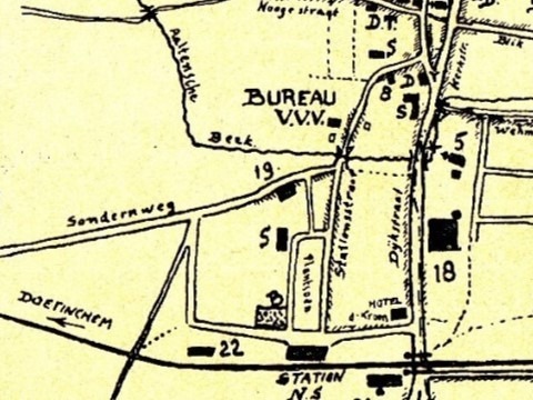
On an older map published by the local tourist association, this street is still shown as ‘Sondernweg’. Until the construction of Nijverheidsweg in the mid-1970s, Admiraal de Ruyterstraat continued seamlessly across the railway crossing into what is still known today as Sondernweg. This can be seen clearly on Topotijdreis.
Changes to house numbering
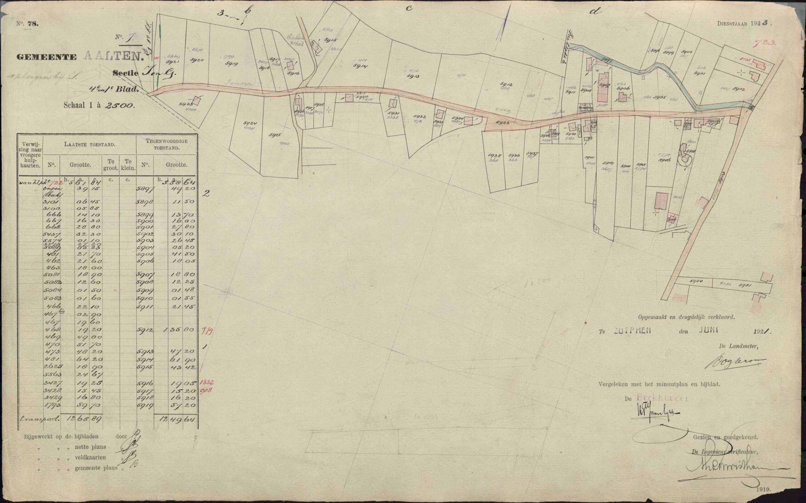
As in many other streets in Aalten, house numbering on Admiraal de Ruyterstraat changed in part between 1934 and 1967 as more homes were built between existing houses. We do not have a ready-made overview of these changes, but we have attempted to compile one ourselves. It appears to concern only the odd-numbered houses.
The excerpt below from the 1934 Aalten municipal address directory lists all residents at the time (click to enlarge):
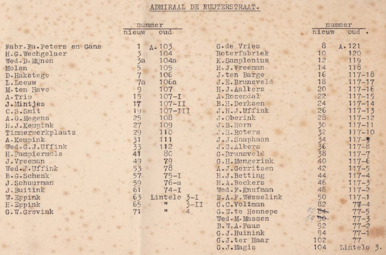
The adjacent table shows the result of our research so far. Some addresses changed again after 1967. For example, Admiraal de Ruyterstraat 107 later became Trompstraat 93. Some houses have probably since been demolished and replaced by several new homes with new house numbers.
This is quite a puzzle, soerrors and omissions excepted! Can you add to or correct this list? Please let us know!
| Cadastral plot 1921 | House no. 1934 | House no. 1967 | Year built |
|---|---|---|---|
| I-5904 | 1 | 1 | |
| 3 | 3 | ||
| I-5948 | 5 | 5 | 1896 |
| I-5947 | 7 | 7 | 1900 |
| 9 | |||
| 11 | |||
| 15 | 19 | 1927 | |
| 17 | 21 | 1928 | |
| 19 | 23 | 1927 | |
| 25 | 33 | 1890 | |
| I-5942 | 27 | 35 | 1890 |
| I-5941 | 29 | 37 | 1904 |
| I-5940 | 31 | 39 | 1904 |
| I-5939 | 33 | 51 | 1920 |
| 41 | 57 | 1938 | |
| 49 | 75 | 1900 | |
| 53 | |||
| 57 | 99 | ||
| I-5926 | 59 | 101 | |
| 61 | 103 | ||
| 63 | 107 | 1920 | |
| 65 | 109 | 1920 | |
| 71 | 123 |