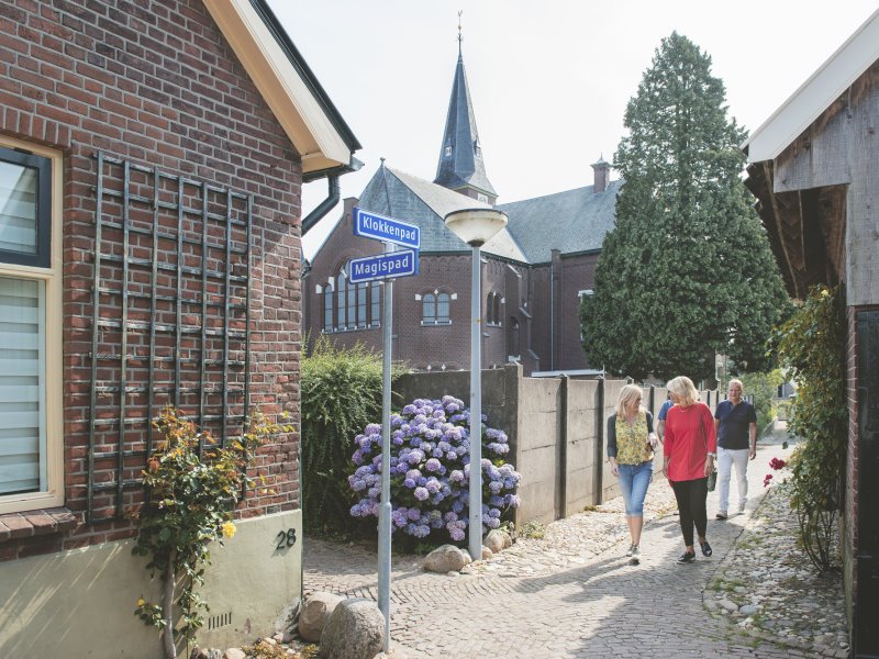
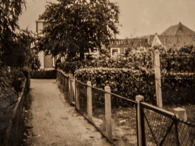
Since the Late Middle Ages, the village of Aalten has possessed a remarkable network of narrow pathways known as ‘gängeskes’. In this agricultural esdorp (a type of village centered around communal open fields), houses and farmsteads stood scattered along a few main roads. In between lay the ‘gaorden’ – the vegetable gardens of the inhabitants.
The gängeskes originated as connecting paths between the village streets and these gardens. They are generally just wide enough for two people with wheelbarrows to pass each other.
These paths were used to supply houses with fresh produce. The winding pathways also allowed for quick visits from one neighbour to another, and children used them to walk to school. Similar gängeskes could be found in many villages throughout the Achterhoek. In the twentieth century, many gängeskes unfortunately disappeared, often being incorporated into the adjoining gardens. In Aalten, however, a large part of this unique network was preserved as important heritage.
In 2011, the paths were given official names. Some routes within the total 2.5-kilometre-long system retained their original names, while others were given a name that recalls the activities of yesteryear.
Walking Route
More information can be found at vvvaalten.nl.