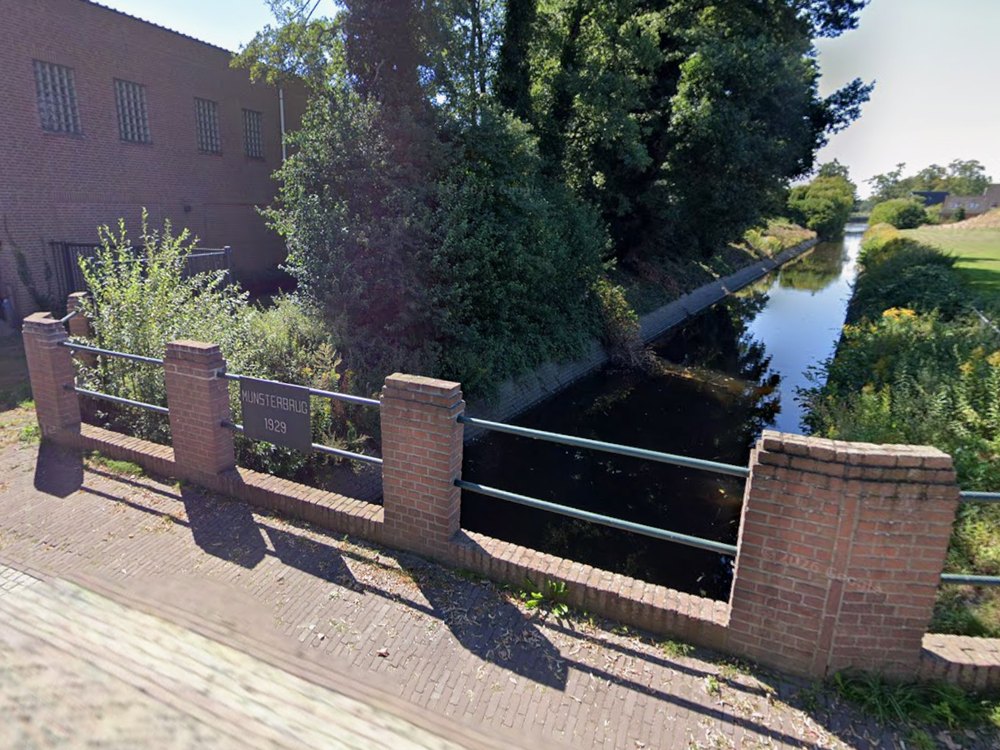
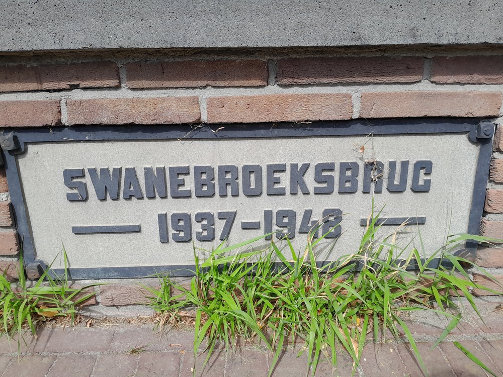
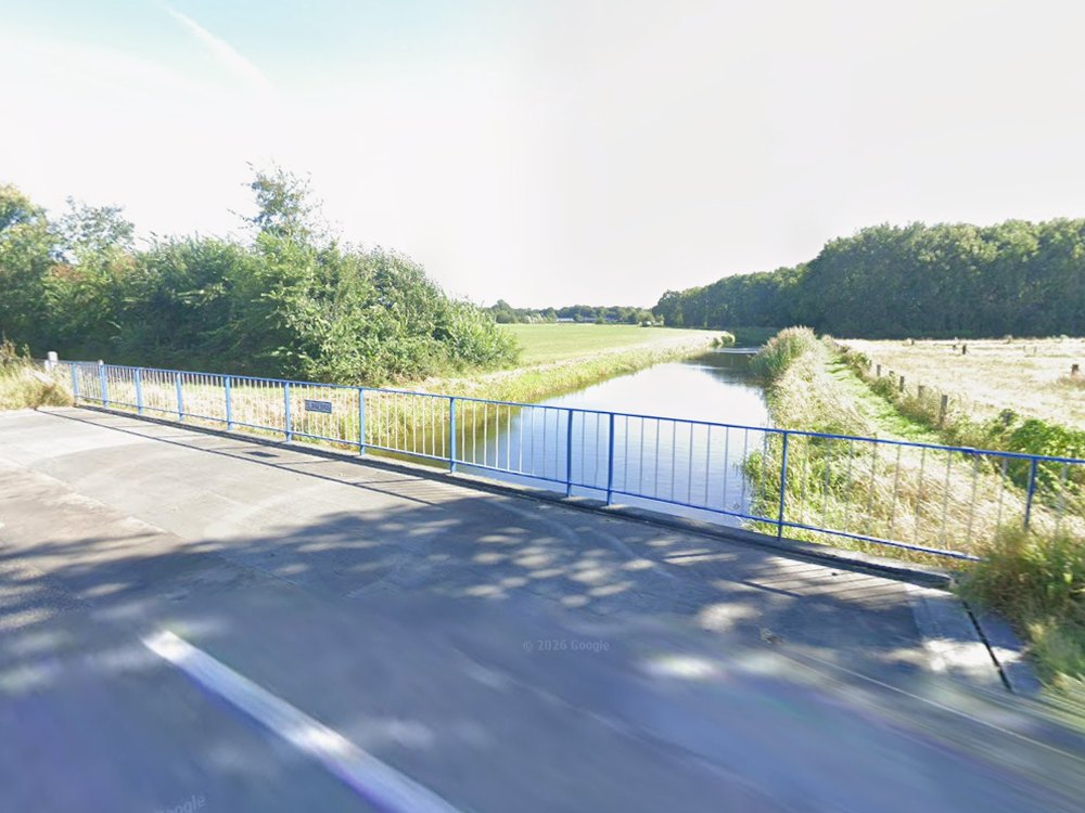
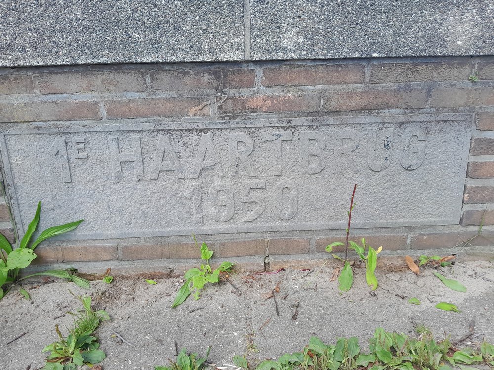
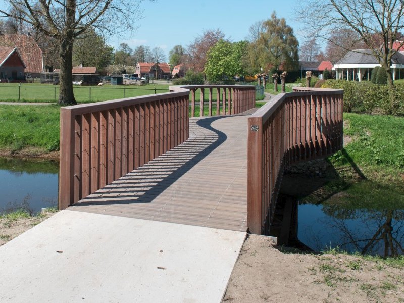
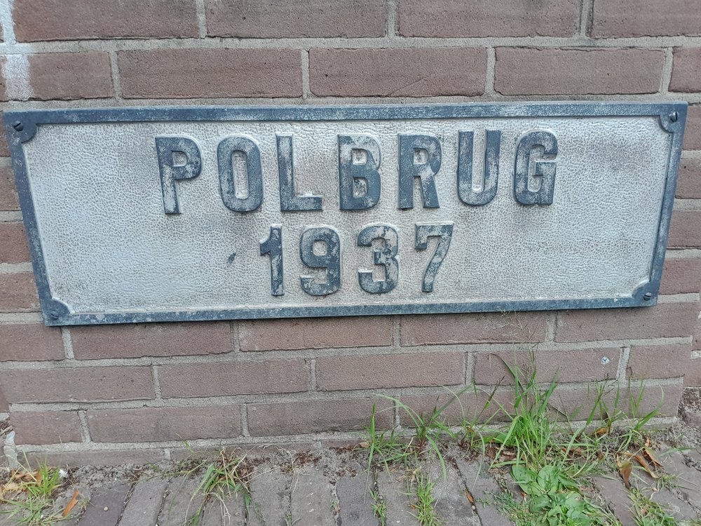
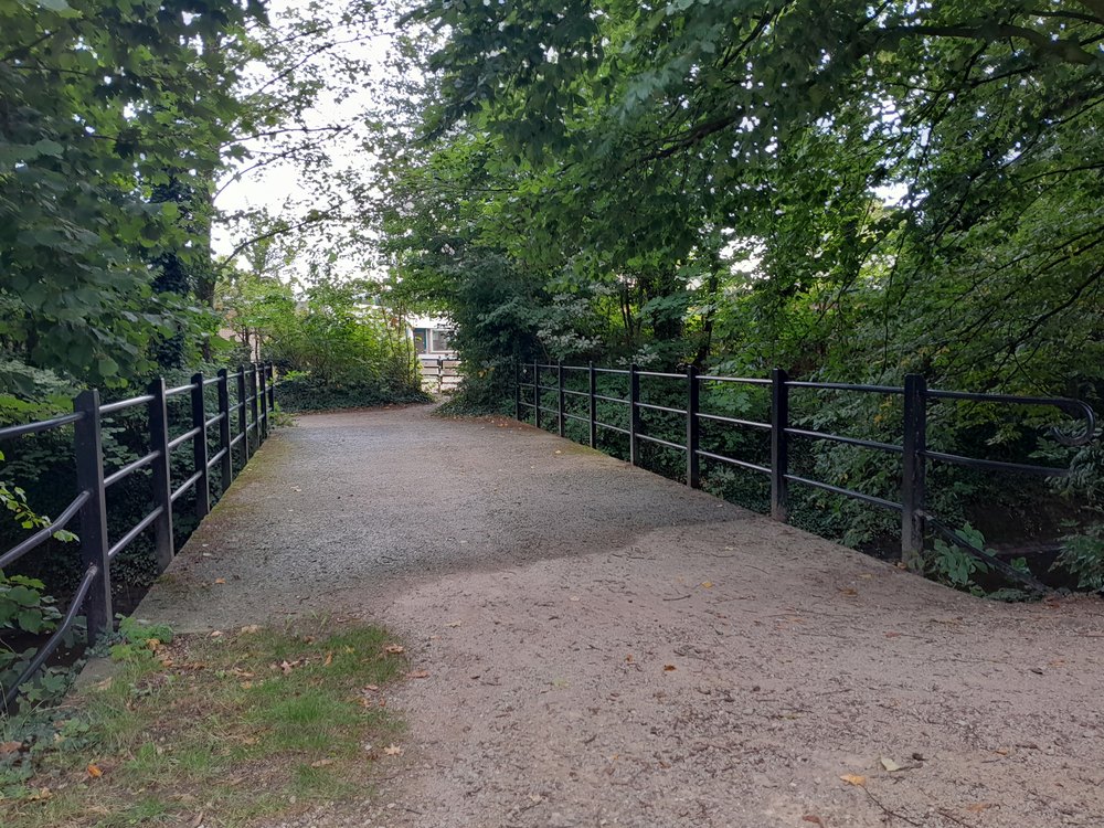
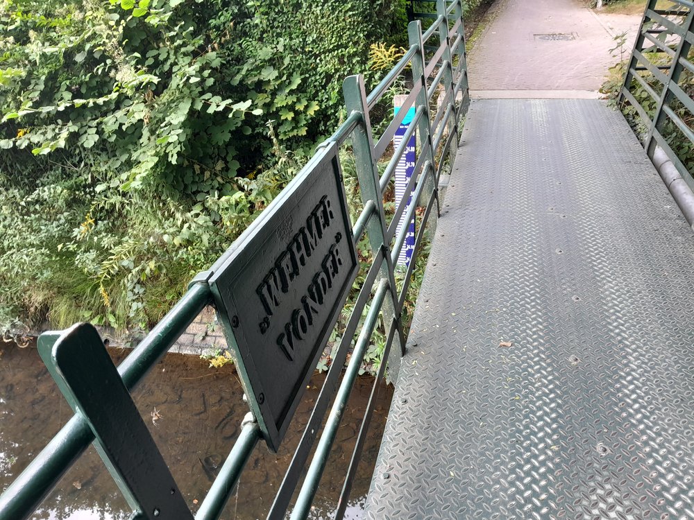
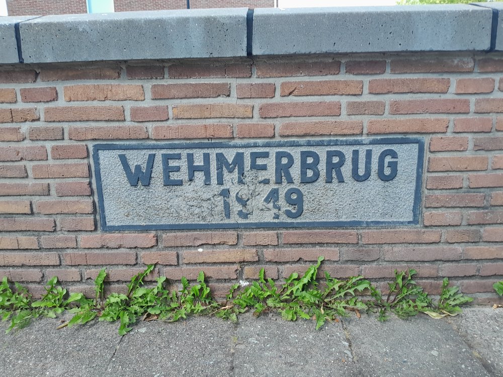
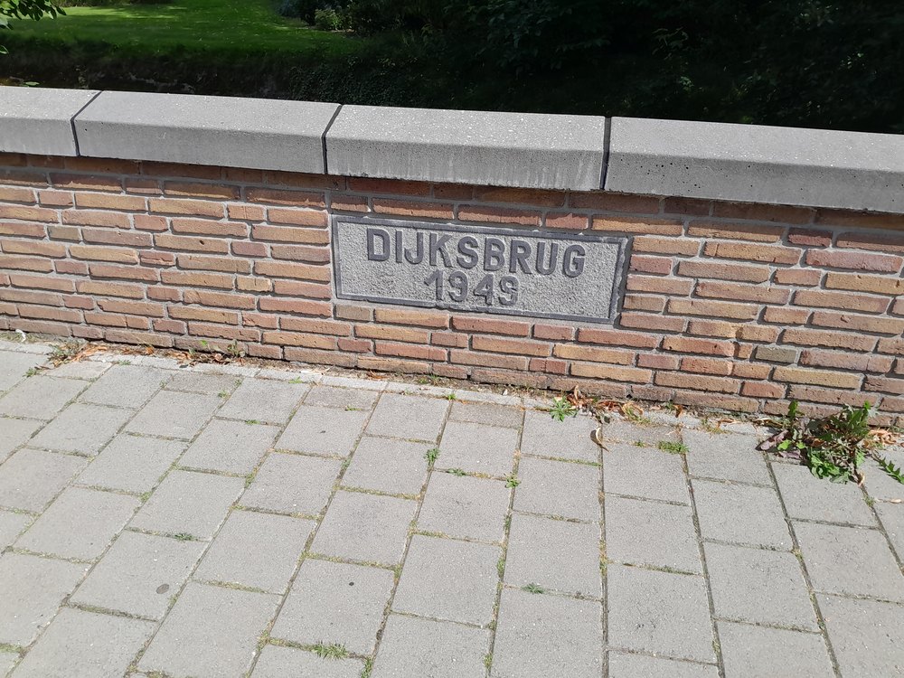
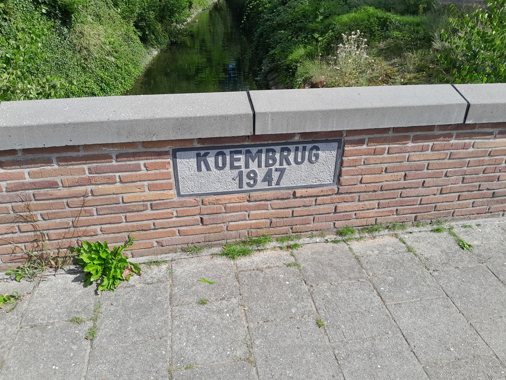
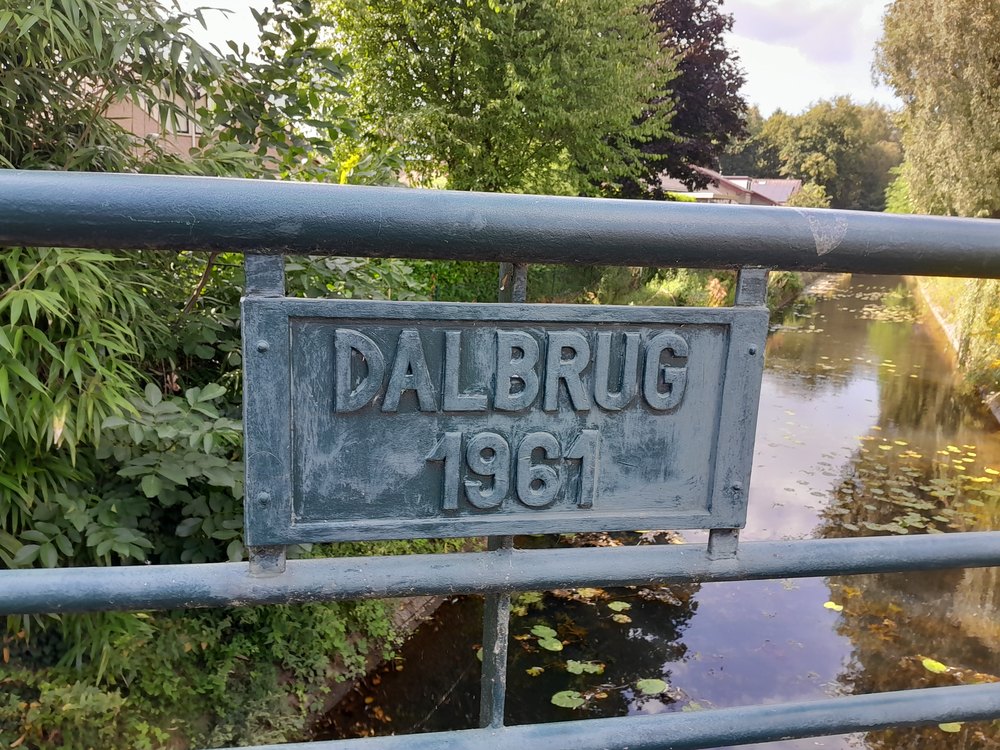
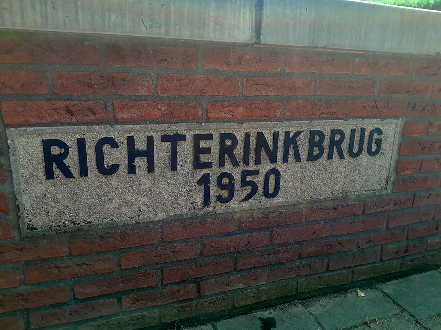
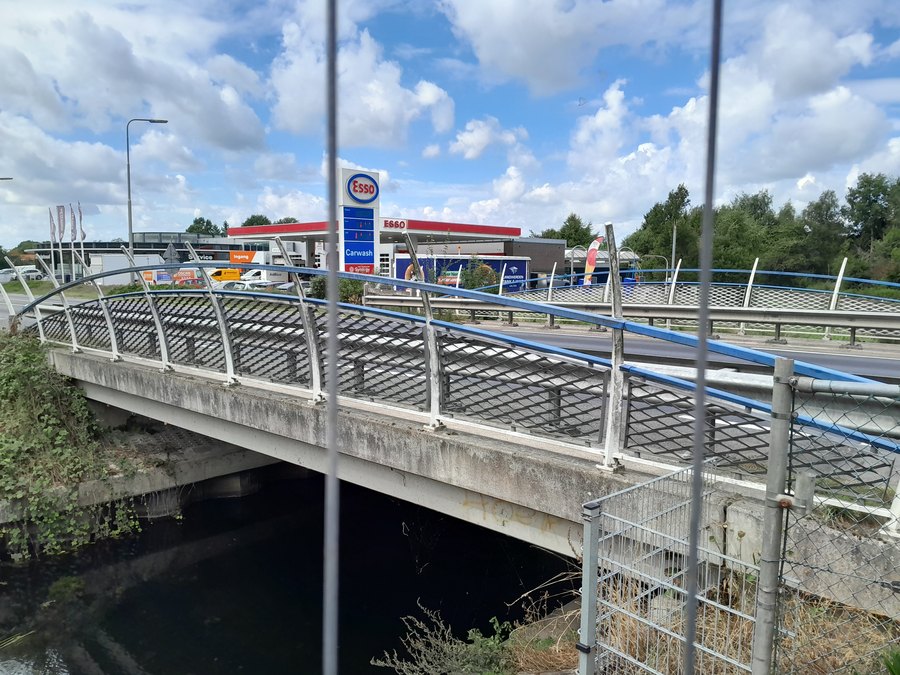
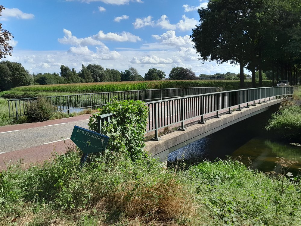
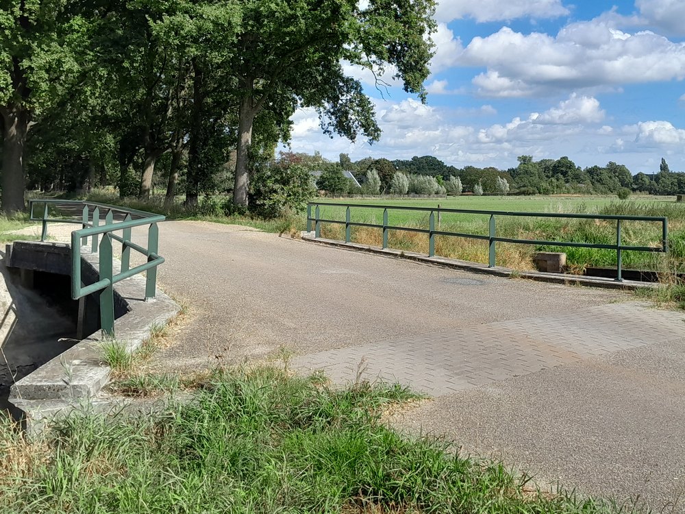
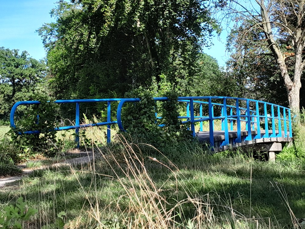
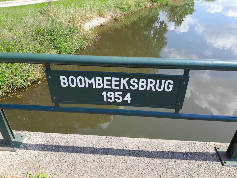
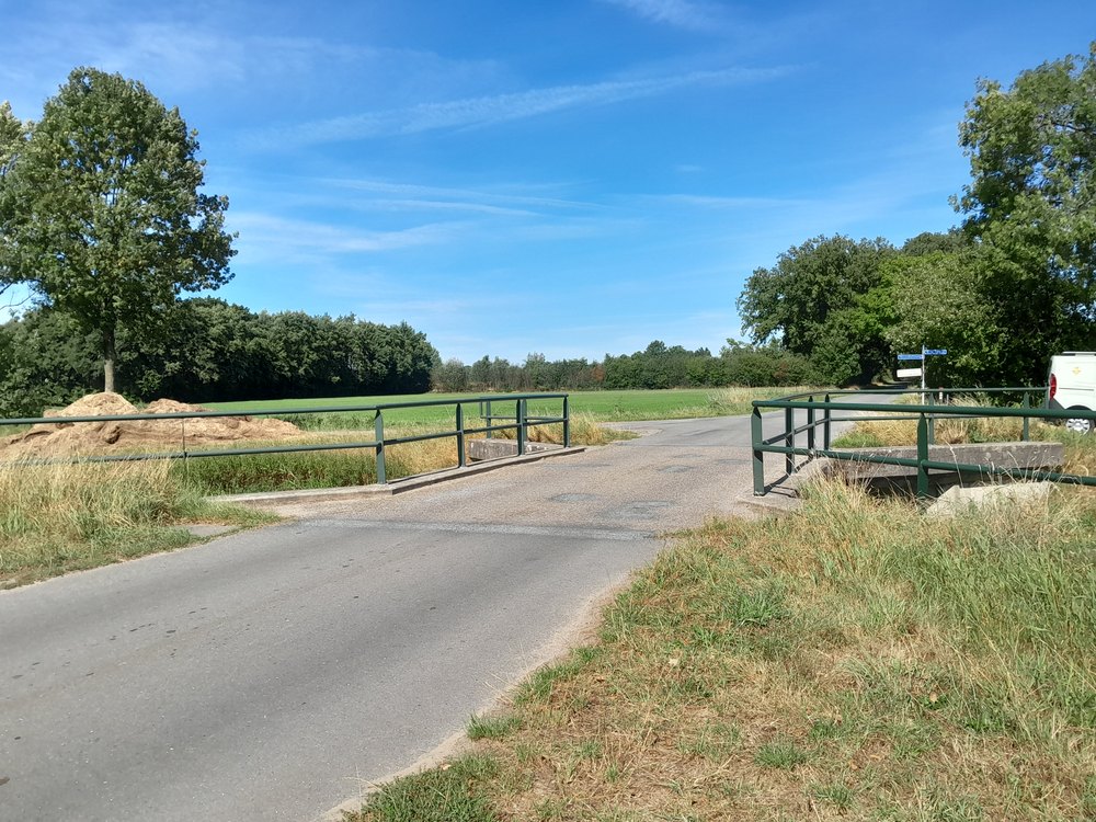
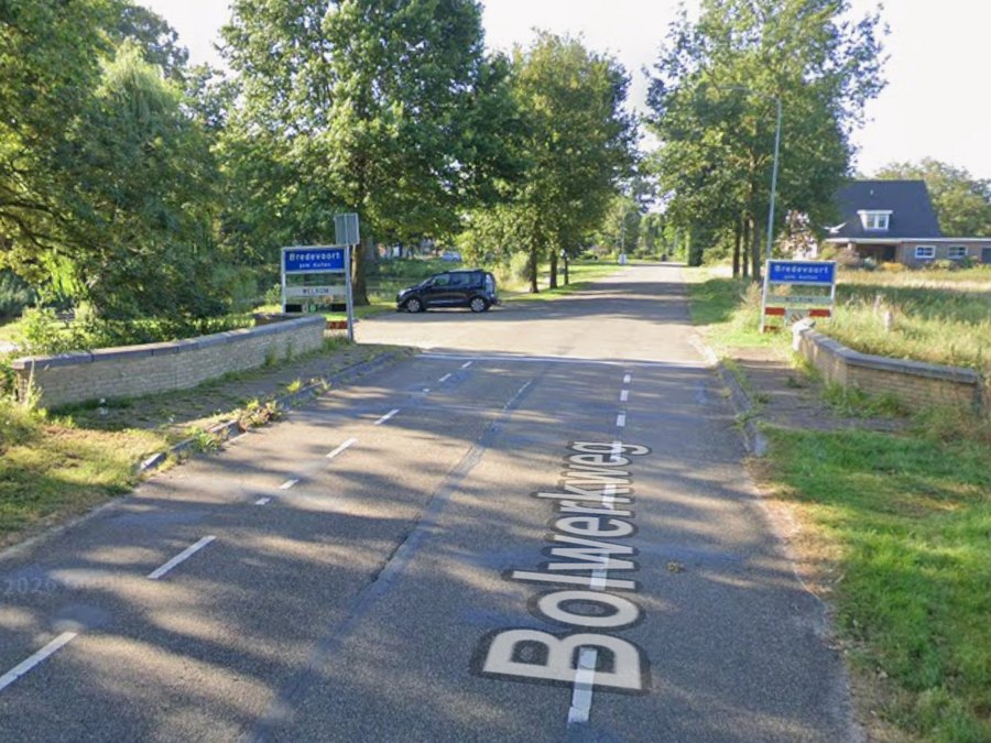
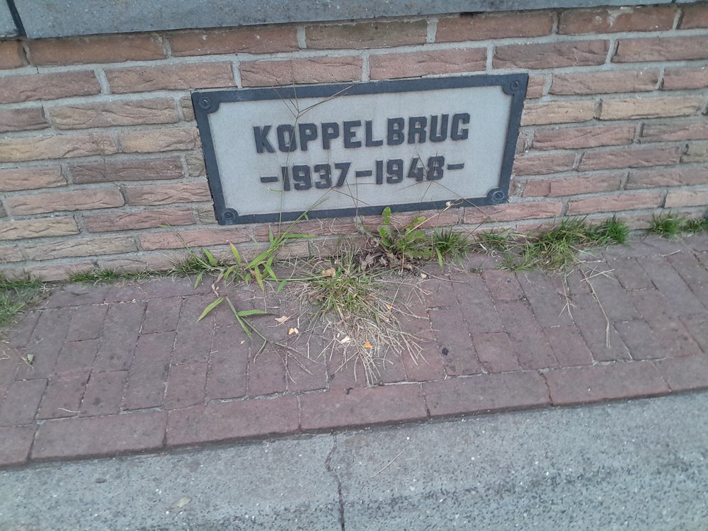
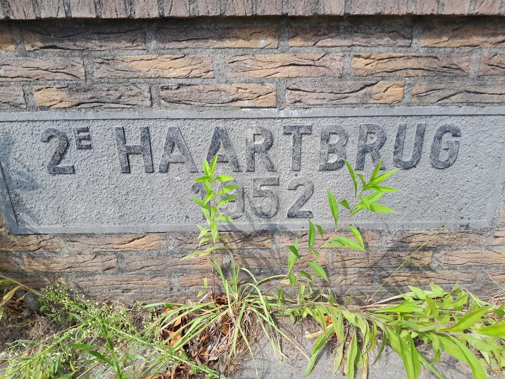
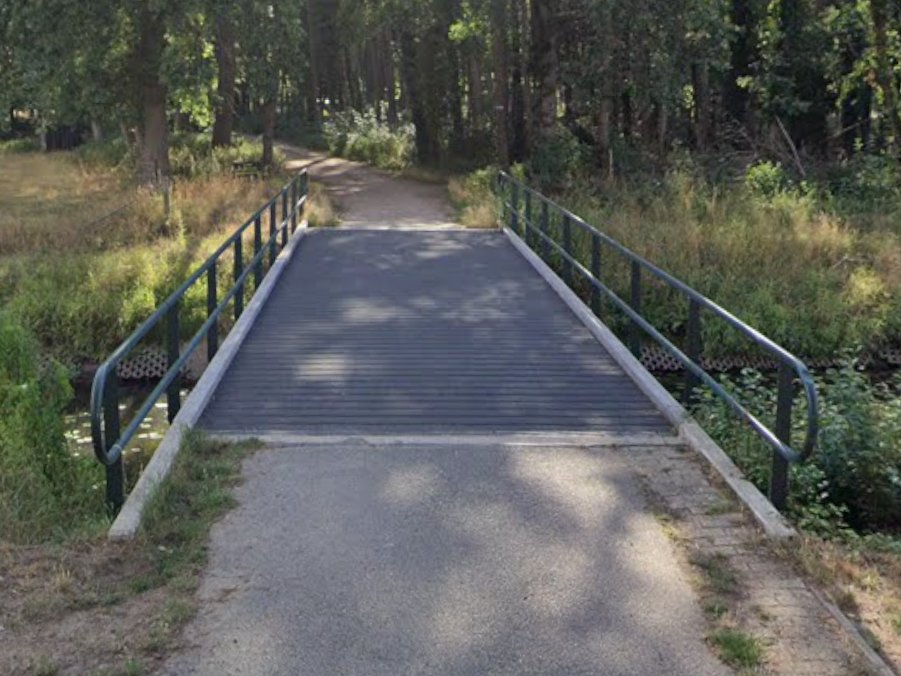
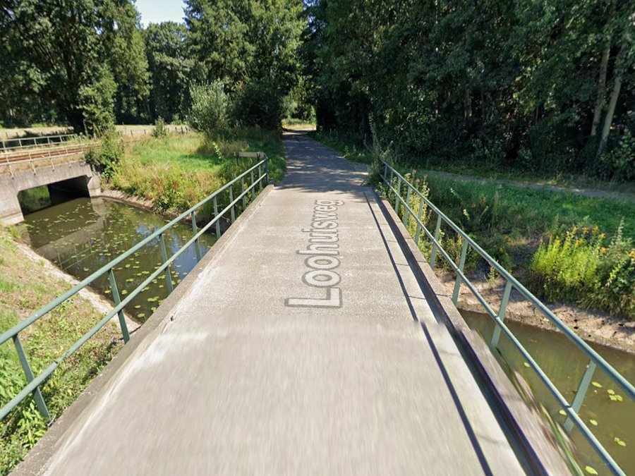
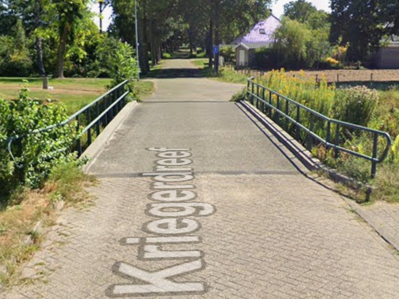
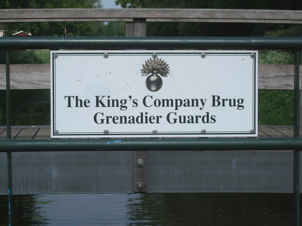
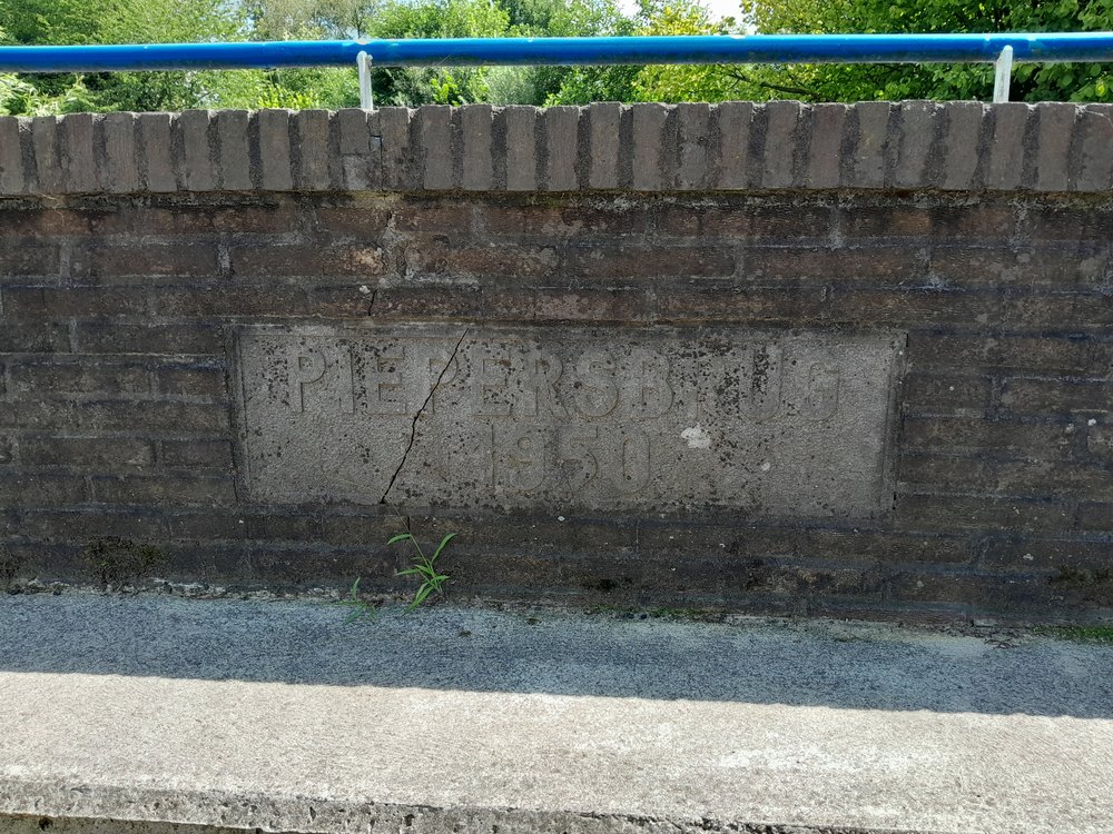
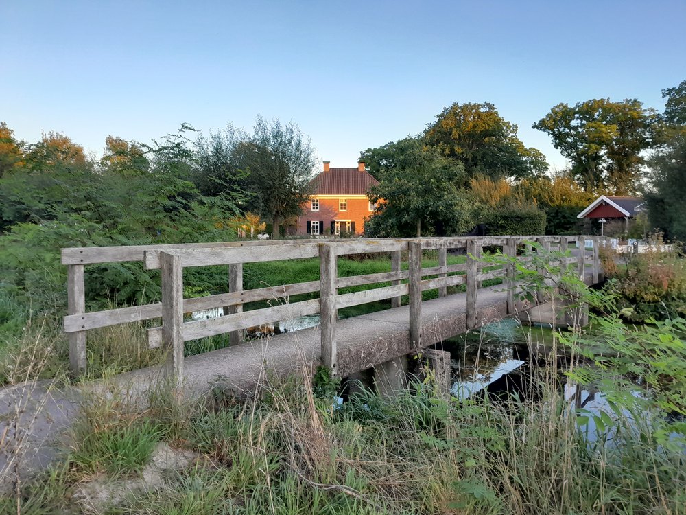
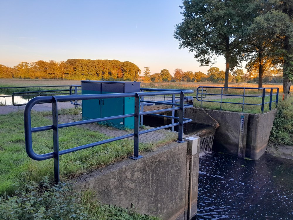
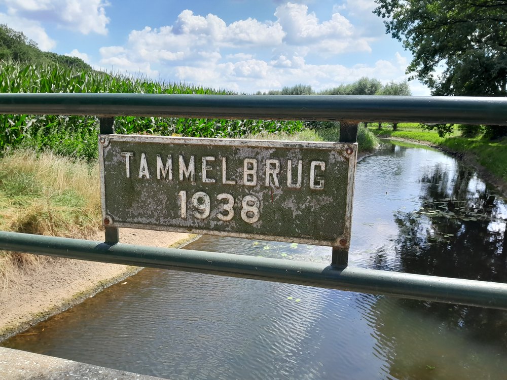
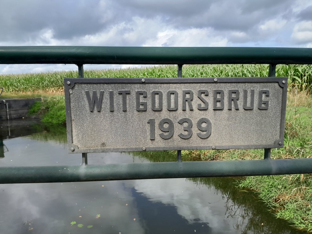
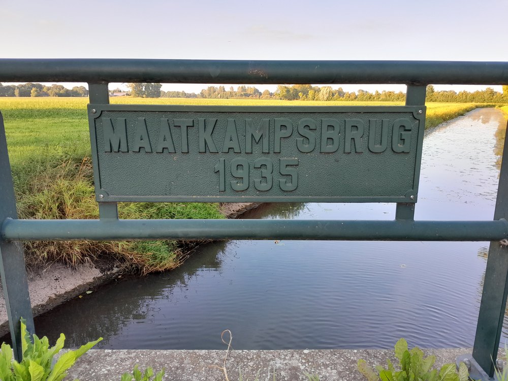
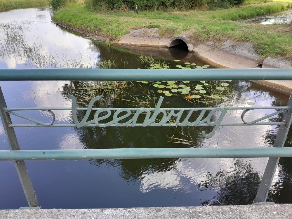
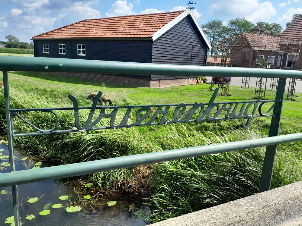
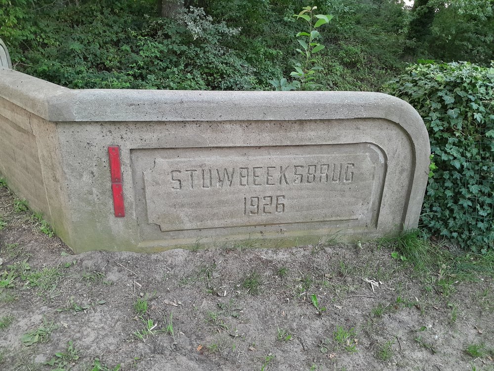
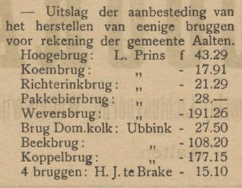
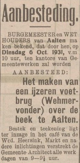
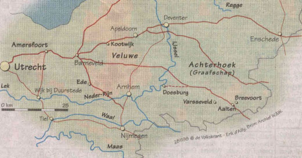
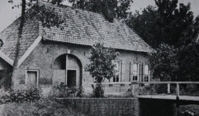
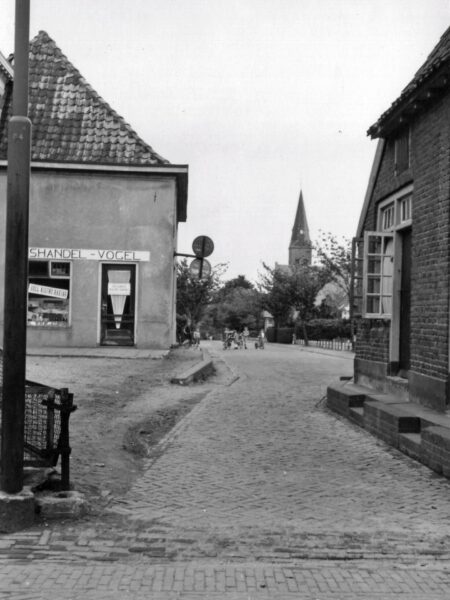
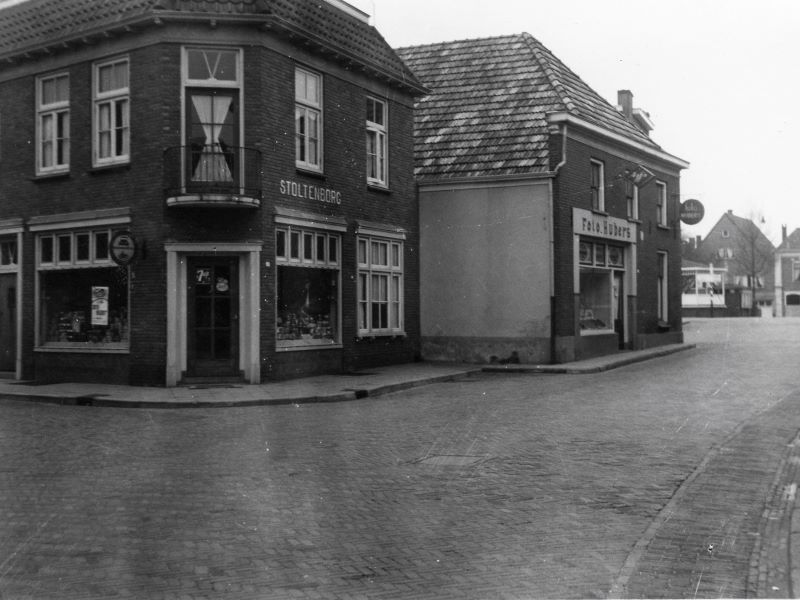
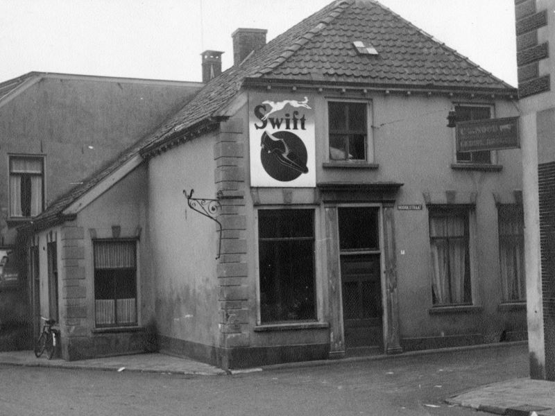
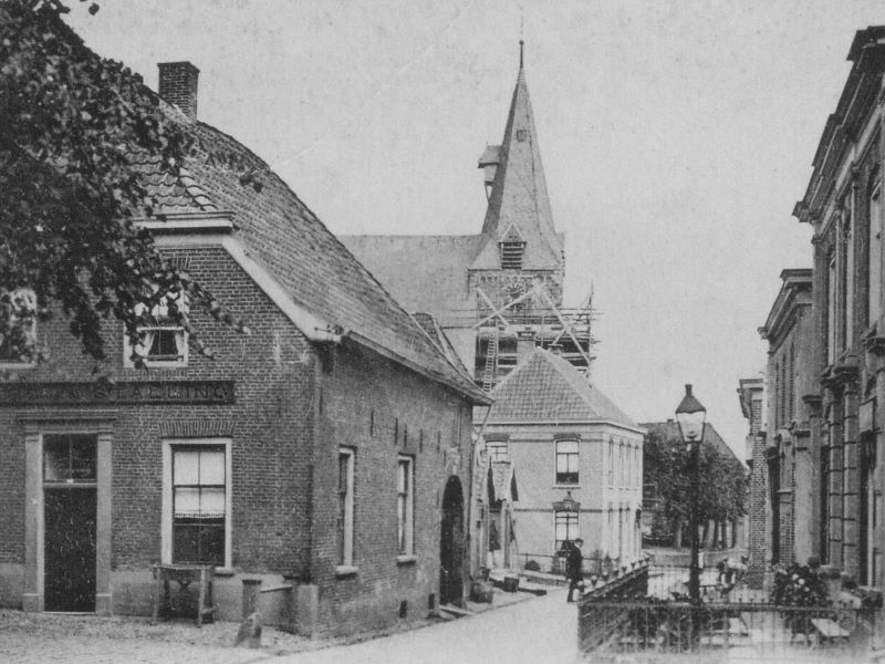
Aalten, Bredevoort and the surrounding buurtschappen have various bridges, including a large number of spans over streams, several railway bridges and two viaducts. Some of these bridges have a name. The tables below show, among others, the bridges over the Slingebeek and the Keizersbeek, arranged from (north)east to (south)west. This overview is not yet complete; additions are therefore very welcome.
Photos: G. Schreurs, Google Streetview, Meerdink Bruggen, R. Neerhof.
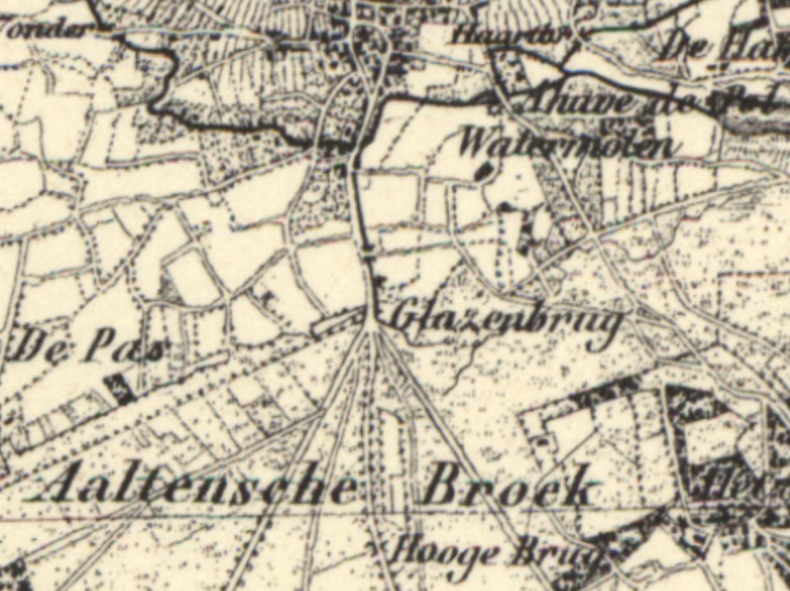
More than a century ago, a ditch ran parallel to the east side of the Dijkstraat from or to the Aaltense Broek. Near the current level crossing at Plein Zuid, there was a bridge called the “Glazenbrug”. The ditch was still there in the 1960s. There were several small bridges up to the Hoge Brug in the Bocholtsestraatweg.
If you have more information about this bridge, we would be pleased to hear from you.
“Glazenbrug” Aalten, ca. 1880 (source: Topotijdreis)
For centuries, German merchants traveled through the Achterhoek with their heavy carts via the so-called Hessenwegen: ancient trade routes that connected the region with Germany and the Dutch trading cities. One of these roads ran from Bocholt via Aalten towards Zutphen and Doesburg. The Hessenwegen were of great importance for early modern trade in this region.
The term Hessenweg has been used since the 17th century. The traditional explanation refers to the merchants who came from the Landgraviate of Hesse-Kassel and the surrounding area. Within etymology, however, the name is explained differently: it is said to be a corruption of hers, meaning horse. These roads usually ran over high, dry sandy soils and along ridges.
Four major Hessenwegen ran through the Achterhoek. Three of them followed a northern route, from Vreden and Ammeloe via Groenlo, Rekken, and Neede, among others, to Deventer or Zutphen.
In the southern Achterhoek, a Hessenweg ran past Aalten. From Bocholt, this route crossed the current border at the Kesenbulte and continued via the Bodendijk, Dijkstraat, Landstraat, Berkenhovestraat, and the Romienendiek to De Radstake. From there, the road continued past Zutphen and Barneveld, with a branch between Halle and Zelhem towards Doesburg.
De Leste Stuver near Bredevoort
From the IJssel cities, the Hessenwegen crossed the Veluwe, converged in the Gooi, and continued to Amsterdam. The Hessenwegen had numerous branches. One of these ran near Aalten from the Romienendiek, via the Koningsweg, Hessenweg, past the Walfort, via Bredevoort and Winterswijk to Vreden.
For those living along a Hessenweg in the 19th century, the arrival of the Hessenkeerls was quite an event. On the windward side of the procession walked men with heavy clubs, dressed in their characteristic blue Hessenkiel: a shirt of fine linen, closed with copper hooks in the shape of lion heads and three small bone buttons. Decorated facings were applied to the chest and shoulders.
On the road, donkeys trudged through the loose sand, with a basket of woven willow twigs full of merchandise on either side. Once they arrived in a village, the men tied their donkeys near an inn or on the village square. The animals were fed and watered, while the men refreshed themselves at the village pump.
Afterward, the baskets were opened and the Hessians went from house to house peddling. Their merchandise included light glassware and soft straw hats. These hats were in high demand: as soon as the Hessians arrived, customers were already waiting for them to buy a new summer hat. The hats were elastic and therefore almost always fit. After a few hours, the Hessians moved on.
Pottenkeerls, musicians, and hannekemaaiers
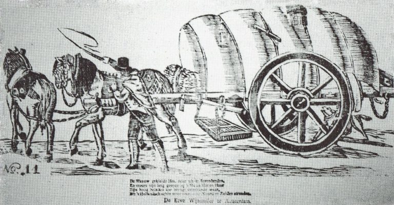
In addition to the Hessenkeerls, pottenkeerls also appeared on the Hessenwegen. They used heavy covered wagons that stood high on their wheels, the so-called Hessenkaoren, pulled by sturdy Holsteiner horses. The carts were full of Cologne pottery: gray or yellow-brown pots with blue decoration. The horses wore richly decorated harnesses, fitted and hung with copper decorations, so that their arrival could be heard from afar.
An image of a carter with his Hessenkar from around 1830, from the Popular Prints collection of Museum ‘t Oude Slot in Veldhoven, with the text:
The blue-smocked Hessian travels from the Uplands, And guides his long team with ‘Hu’ and ‘Hot’ and ‘Haar’. His high-laden cart brings many kinds of wares, Which the Dutch ship carries again to North and South shores.
In the spring, groups of German musicians traveled over the Hessenwegen to the Netherlands. Some bands were very well known in Amsterdam, Rotterdam, and The Hague. Although they presumably came from the same region, they were not called Hessians because they did not wear the Hessenkiel.
In addition, the hannekemaaiers came by in the summer: seasonal workers from Westphalia who helped in Holland with mowing grass and during the harvest. Women and children stayed behind at home to work on the land, while the men earned money elsewhere for the winter.
The end of the Hessenwegen
In the course of the 19th century, the significance of the Hessenwegen declined. In 1875, the last Hessians were seen near Zelhem, a meager group compared to former times. The Franco-Prussian War of 1870 and the subsequent industrial boom in the Ruhr area provided the Germans with a livelihood closer to home. Even many young people from the Achterhoek went that way to earn good money. With that, the Hessenwegen had had their day.
Older origins
Although the term Hessenweg was used from the 17th century, archaeological finds along these roads indicate that they had been in use for much longer. For example, in Aalten, at De Hoven near the Landstraat, traces of an 8th-century settlement have been found, including remains of sunken-floor huts, refuse pits, and spindle whorls. This is a strong indication that the later Hessenwegen built upon much older traffic routes, the so-called volkerenwegen (peoples’ roads).
It is therefore logical to assume that the village of Aalten partly owes its origin to this ancient peoples’ road. De Hoven was a favorable spot, because in the middle of the wild landscape of forest, heath, and marshes, there was a hill here, high and dry, directly on a through road. Moreover, a stream flowed at the bottom of the hill, providing fresh water.
Hessentocht
The memory of the Hessians still lives on. In 2011, a Hessentocht (Hessian Trek) was organized for the second time in the vicinity of Bredevoort and Aalten. During this trek, in which a historical caravan was simulated, an impressive ox cart took part: 2.60 meters wide, six meters long, and four meters high. In addition, three wagons participated, each pulled by three horses. Jan Oberink captured the trek on film and created the atmospheric impression below.
Acknowledgements
The content of this article is largely based on the article by G.J. Klokman (Zelhem, 1864), published in 1937. There are numerous other publications about Hessenwegen that present a different picture on some points. For this article, Klokman’s description was primarily chosen because his memories and observations specifically relate to the Hessenweg near Zelhem, the same route that also ran through Aalten.
Sources
G.J. Klokman, De Hessenwegen, in: Eigen Volk. Algemeen tijdschrift voor volkskunde (folklore) en dialect, 1937. National Library of the Netherlands
G.J. Klokman, De Achterhoekers, in: De Nederlandse volkskarakters, 1938. DBNL
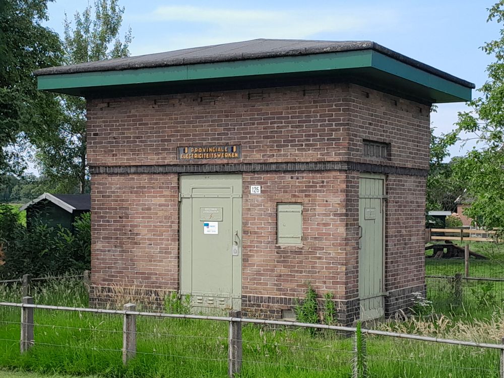
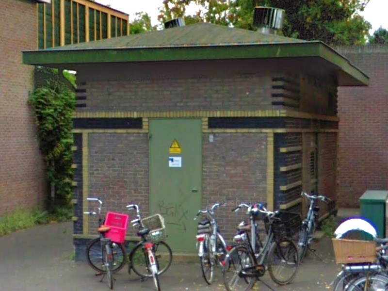
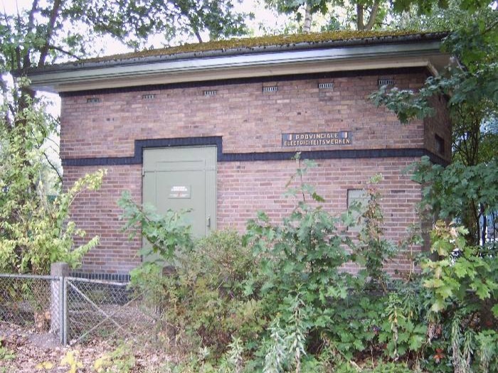
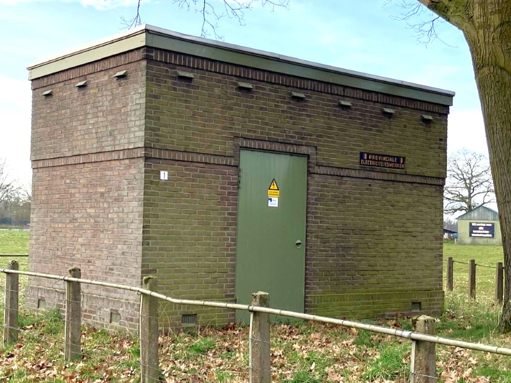
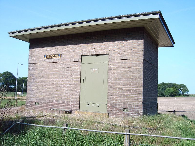
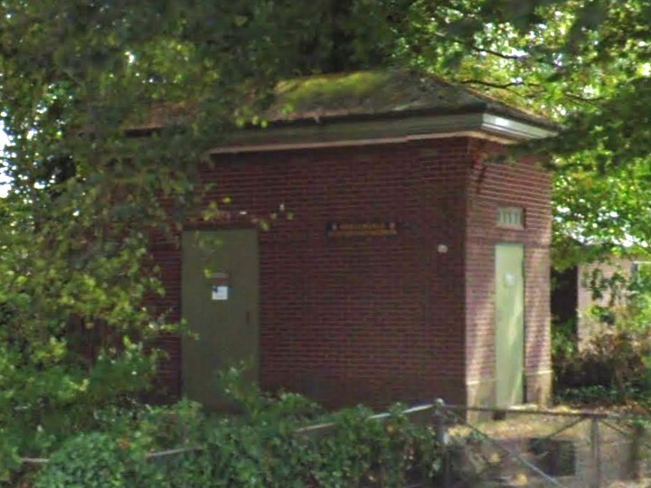
Dozens of transformer substations, also known as ‘trafohuisjes’, are spread across the municipality of Aalten. These substations are designed to convert (transform) high voltage (10,000 Volts) into a lower voltage (230/400 Volts) that can be used in our homes and businesses.
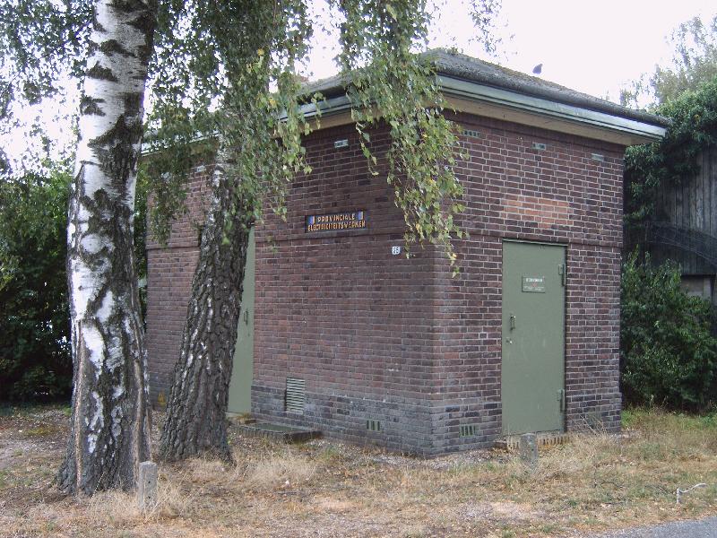
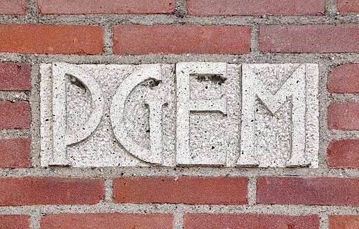
The first transformer substations were built in the early 1920s by the Provinciale Gelderse Electriciteits Maatschappij (PGEM). In 1994, PGEM merged into Nuon and was split up in 2009. The current grid operator is called Liander.
Design
The oldest transformer substations were designed by Gerrit Versteeg (1872-1938), who was the in-house architect of PGEM at the time. They incorporate influences from the Hague School, the Amsterdam School, and Frank Lloyd Wright.
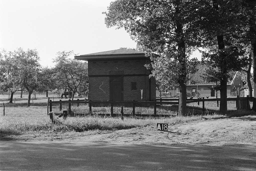
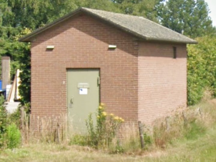
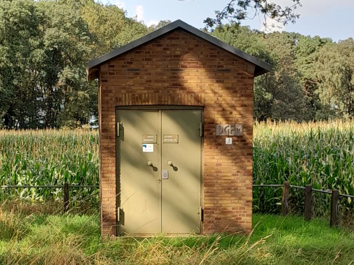
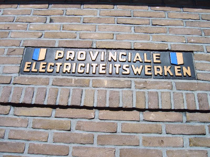
The buildings are often distinctive brick structures, usually with a rectangular floor plan and a single story with a hip roof, gable roof, or flat roof. The doors are frequently made of green-painted steel. The substations feature an inlaid nameplate made of concrete or tiles (from the Goedewaagen company in Gouda).
Cultural-historical value
The older transformer substations have a significant visual value. From a cultural-historical perspective, the buildings commemorate the electrification of the municipality of Aalten. Newer substations (from approximately the early 1980s onwards) usually have a purely functional design and are therefore not of interest from a cultural-historical point of view.
Many historical transformer substations in the Netherlands have been designated as (municipal) monuments. As of yet, no transformer substation is included on the monument list of the municipality of Aalten.
List of transformer substations in Aalten
Below is a list of all transformer substations in the municipality of Aalten, as far as we are aware (April 2025). A number of older substations may be of cultural-historical value and could potentially qualify for protected status. Substations built up to and including 1980 are also displayed on the map.
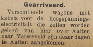
Nieuwe Winterswijksche Courant, 22 June 1923Varsseveldsestraatweg 126 TR, Lintelo (photo: Heidemij, 1954)Haartsestraat 6 TR, Aalten (1923)Dinxperlosestraatweg 79 TR (1930)Heuvelweg 1 TR, Lintelo (1933)Lichtenvoordsestraatweg 83 TR, Barlo (1934)Bredevoortsestraatweg 94 TR, Aalten (1939)Kruisdijk 35 TR, IJzerlo (1940)Varsseveldsestraatweg 82 TR, Aalten (1965)Gendringseweg 4, Lintelo (1980)Inlaid concrete nameplateNameplate consisting of four tiles side by side
Aalten is situated on the Arnhem–Winterswijk railway line, which traverses the municipality from west to east (or vice versa, if you prefer). However, in the second half of the 19th century, there were also various plans to construct alternative routes running in a (more or less) north-south direction.
Below is some information regarding these plans. It is perhaps superfluous to mention that none of these projects ever came to fruition.
Zutphen–Aalten
Arnhemsche Courant, 8 September 1865
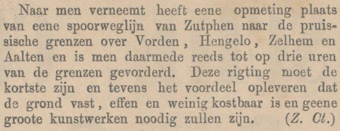
In the mid-19th century, there were no railways in the Achterhoek yet. However, in 1865, plans were drawn up to build a railway line from Zutphen to the ‘Prussian borders’. The line was intended to run via Vorden, Hengelo, Zelhem, and Aalten. This route would be the shortest and, moreover, offered the advantages that the ground was ‘firm, level, and inexpensive, and no major engineering works would be required’. It is unknown to us why these plans were never executed.
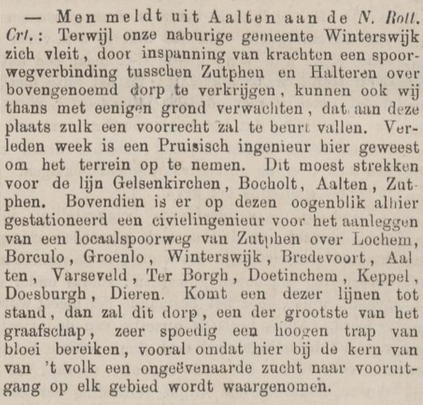
Gelsenkirchen–Aalten–Zutphen
In the spring of 1872, an engineer from the German Eisenbahn-Gesellschaft (Railway Company) in Berlin arrived at Aalten town hall to gather information for the potential construction of a railway line from Gelsenkirchen, via Bocholt and Aalten, to Zutphen. As the adjacent newspaper article shows, plans were already underway at that very same moment for a railway line from Winterswijk heading westwards, passing Aalten.
“Should one of these lines come into being, this village, one of the largest in the county, will very swiftly attain a high degree of prosperity, particularly as an unparalleled desire for progress in every field is observed here among the core of the populace.”
However, these plans were never carried out. This was likely due to the fact that the Nederlandsch-Westfaalsche Spoorweg-Maatschappij (NWS) had only just been founded, having already been granted the concession to build the Zutphen–Winterswijk railway line on 27 March. A year later, the Bergisch-Märkische Eisenbahn-Gesellschaft received the concession for the Winterswijk–Borken–Gelsenkirchen railway line, which would connect to the Dutch line.
Zutphensche Courant, 18 April 1872
Rees–Aalten
Zutphensche Courant, 5 June 1885
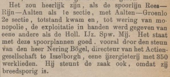
In 1885, there was once again talk of the potential construction of a railway line that would pass Aalten in a north-south direction. This time, the planned route ran from Rees, via Isselburg and Dinxperlo to Aalten. Later, we also found Groenlo added to this list. It was, incidentally, also considered as a steam tramway. At the end of the year, however, the Graafschapbode reported that the preparatory work had been halted due to a disagreement between the German and Dutch sides regarding the location of the Dinxperlo-Suderwick station.
Due to the increase in motorised traffic in the twentieth century, several houses in the old village centre of Aalten at one point stood – both literally and figuratively – ‘in the way’. On this page, we have gathered a number of these so-called ‘bottlenecks’. Do you know of any others?
A “Stumbling Block” in Aalten, which is to disappear very shortly!
The 203-year-old house and smithy of Mr Buesink in Aalten, situated on the corner and entrance of the Peperstraat there, had long stood in the way of widening the busy Peperstraat, located right in the heart of the village.
In the last council meeting, it was decided, in agreement with the owner, to have this property demolished, whereby the owner will be given compensation of ƒ2,500, on condition that the street at that point achieves a width of 13 metres and that his new property will have risen within 8 months.
Whilst it is highly commendable that this street, which is always so busy but so narrow at that spot, is to be significantly widened and that the new building will embellish the surrounding area and the square there, it is at the same time a pity, viewed from an antiquarian standpoint and from that of picturesque village beauty, that yet another of the oldest and most typical houses from the heart of the village is to disappear for the benefit of modern traffic. It should also be mentioned that until now, the Peperstraat was closed to all motor vehicles due to its narrowness!
The beautiful village of Aalten, built on hills by past generations, has several steeply sloping, rather narrow streets with sharp bends, as a result of which the village, as a traffic junction, often presents difficulties. In particular, the confluence of Landstraat, Kerkhofstraat and Veemarktstraat can be designated as a “dangerous intersection”, where collisions and accidents are a near-daily occurrence and where, with the development of today’s fast-moving traffic, double the caution and alertness are required.
This problem has engaged the attention of the local authority for years and years, and the Vereeniging „Plaatselijk Belang” (Local Interest Association) and the K.N.A.C. (Royal Dutch Automobile Club) have also been active in this matter for many years, though without tangible result. The right solution seems hard to find, but given the large number of accidents, which for understandable reasons are increasing rather than decreasing, it really is high time that vigorous action is taken here by the authority concerned, before even more serious accidents than have occurred hitherto force them to look to locking the stable door.
The Aalten council will convene for a meeting this coming Thursday afternoon at half past two. The agenda to be dealt with is by no means unimportant. For instance, a decision will have to be made on a proposal from the executive executive (College van B. en W.) regarding the purchase of the house on the corner of Oosterkerkstraat and Lichtenvoordsestraat. This house is a major obstacle to traffic and a thorn in the side of all motorists who have the misfortune of having to go from Oosterkerkstraat to Lichtenvoordsestraat.
Lately, parking signs have even been erected, indicating that the last five metres of Oosterkerkstraat are a prohibited area for four-wheeled vehicles. Thus, one can now see almost daily that cars coming out of Oosterkerkstraat clandestinely drive across the forbidden section of the road to the Lichtenvoordsestraat. Usually, a fellow passenger is first asked to have a quick look to see if there happens to be a policeman nearby. It is absurd, people judge, that one has to drive out of the entire Oosterkerkstraat in reverse – as one cannot turn in this street – in order to reach the Lichtenvoordsestraat via a massive detour.
Mr M. Meijerman, the current owner of the house that is the cause of all the trouble, has declared his willingness to part with the property for ƒ4,000, and the executive are eagerly seizing the opportunity. The council undoubtedly no less so. We do not know whether the executive consider it justifiable to demolish the house in the near future. On the one hand, the current housing shortage has a strong say in the matter, but on the other hand, the question is whether the house should remain standing until accidents happen, especially now that traffic is becoming heavier.
In 1939, the water supply in Aalten underwent a major improvement with the installation of a mains drinking water network by the N.V. “Waterleiding Oostelijk Gelderland” (Eastern Gelderland Water Supply Company), in cooperation with the Aalten municipal council. Before that time, the people in the village of Aalten obtained their water from so-called neighbourhood pumps, one or more of which stood in the various streets. These pumps were owned by the municipality, and there were very few people in the village who had a pump of their own inside the house.
The Kattenberg pump, circa 1925
Each pump was used by an average of ten or twelve families, and one can well imagine that during periods of severe drought – when, in the long run, the pumps began to yield mud instead of water – this occasionally gave rise to friction among the female neighbourhood residents. Any disputes that arose, however, were usually settled within a short space of time by the “pumpmaster”. The neighbourhood residents, who were also responsible for the maintenance of the pump, were appointed as pumpmaster in rotation. The pumpmaster also collected the contributions towards the expenses from his fellow users.
However, the use of some pumps had to be prohibited because the water was harmful to health. When later, upon closer inspection, the pump water in general proved to contain constituents that were less favourable to health, this was all the more reason to proceed with the installation of a mains drinking water network.
One advantage of the former pumps was that they stood in the street. In the past, even more so than today, the inhabitants of the village of Aalten kept the street in front of their own houses clean. The pumps came in very handy for this, as they had the water for scrubbing the street close at hand.
Until recently, there was also a pump standing on the Markt (Market Square) in Aalten. Regrettably, the municipal council had this pump dismantled last year, presumably because it was in a dilapidated state. Had this pump been restored, however, a small piece of history would have been preserved in the centre of Aalten.
Whilst the houses in the village of Aalten are connected to the water mains, this is not yet the case in the hamlets (buurtschappen). It is true that in the hamlet of Lintelo, persistent efforts have been made in recent years to persuade the W.O.G. to connect a large number of farmers and others in this hamlet, but although the W.O.G. was in principle sympathetic to the idea, the execution of the plans foundered on the high costs of installation and operation.
One street pump remaining
One street pump remained standing in Aalten, namely the pump on the Kattenberg. When their pump was under threat, the residents of this neighbourhood put their heads together and decided to try to preserve the pump from a folkloric perspective. In this they succeeded, and voluntary contributions were subsequently raised to thoroughly do up the pump, on which no maintenance work had been carried out in recent years.
Now, no one should think that the residents of the Kattenberg are conservative and do not want mains water. That is by no means the case; all have connected their homes to the W.O.G. network, but they nevertheless wish to retain the pump because, as they say, adapting a well-known proverb, they do not want to throw the pump out with the pump water. And it seems to us that they are quite right.
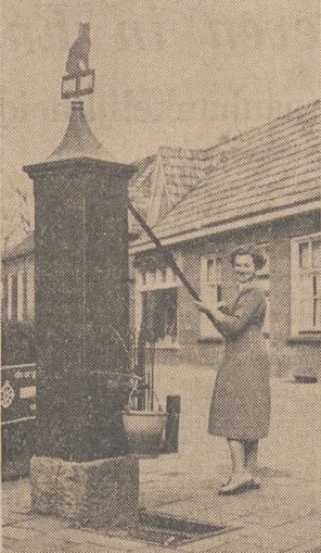
Mrs Vieberink-Bennink — better known in Aalten as Annie Bennink — recently moved to Gendringen with her husband. Shortly, probably next week, the young couple hope to emigrate to Canada, where Mr Vieberink will become a farm manager in New Brunswick. These past few days, Annie Bennink was back home at her parental house on the Kattenberg, and on that occasion she wished — in all probability for the last time — to have another go at the handle of the old, familiar pump on the Kattenberg, of which her father is now pumpmaster. It was on that occasion that we took the picture reproduced here.
“On the border of two worlds”, Annie Bennink tries the old pump one last time
Other Village Pumps
We have examined countless old photographs to trace the locations where neighborhood pumps once stood in Aalten. The overview below is still a ‘work in progress’ and subject to change. If you know of any other locations to supplement this list, please leave a comment at the bottom of this page.
A small group of glider pilots from this area, who until now practiced their sport at the airfield near Enschede, sought out a site in the Schaarsheide—a location that combines all the favorable factors for gliding.
The steep slope descending from Vragender and Barlo toward this site provides the necessary thermal air currents, while the site itself, spanning over 5 hectares, is beautifully level and has firm ground.
Should the site be approved by the competent authorities, the intention is to commence gliding activities at the beginning of August. An aircraft is already under construction and is nearing completion. If these plans are realized, Aalten will have the scoop on this most modern of sports.
Aaltensche Courant, 5 October 1934
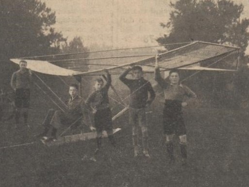
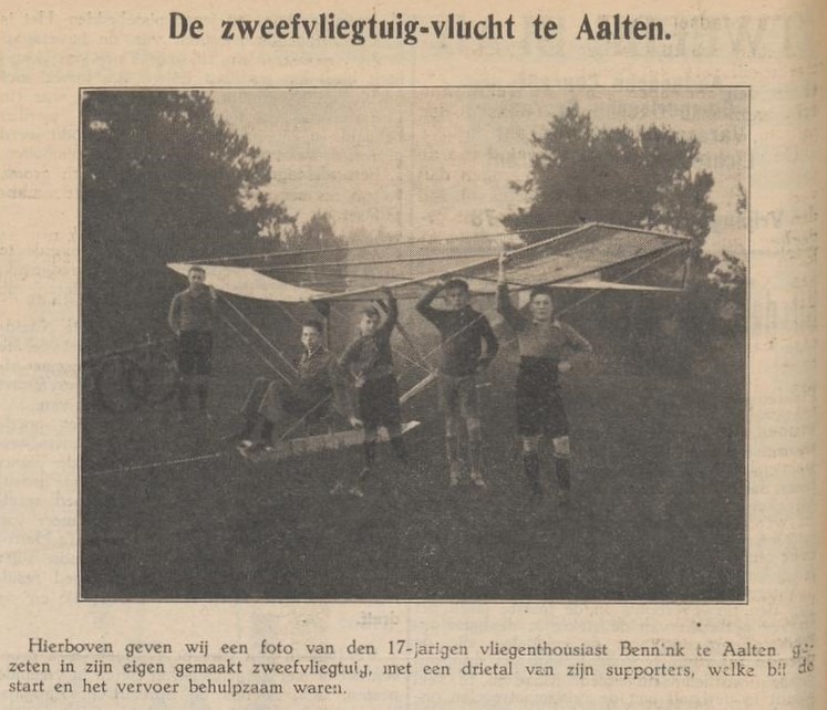
One of the enthusiastic glider pilots may well have been Jan Bennink from Aalten. He built his own glider in 1934 and successfully flew it. Read more »
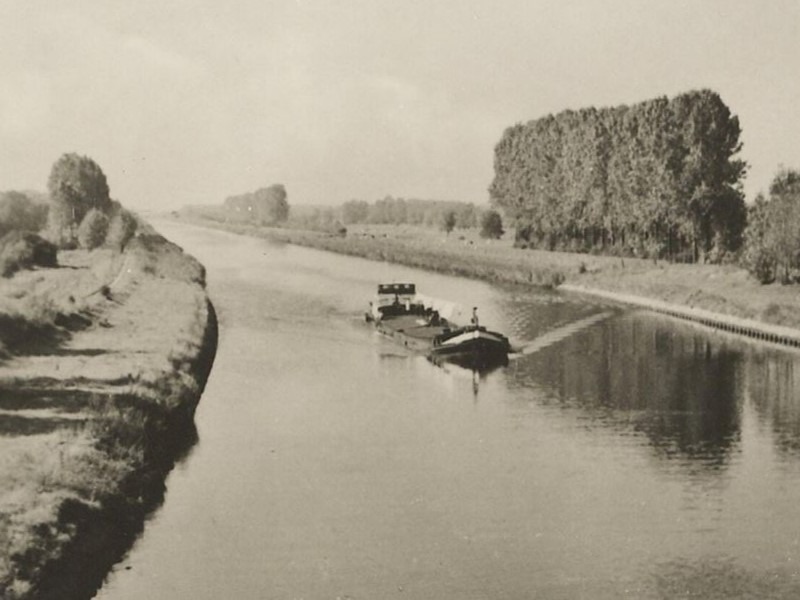
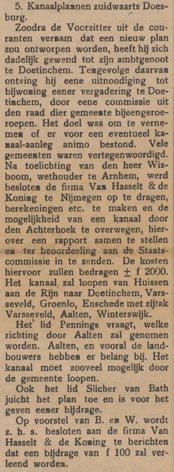
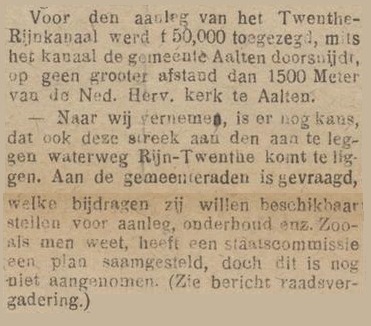
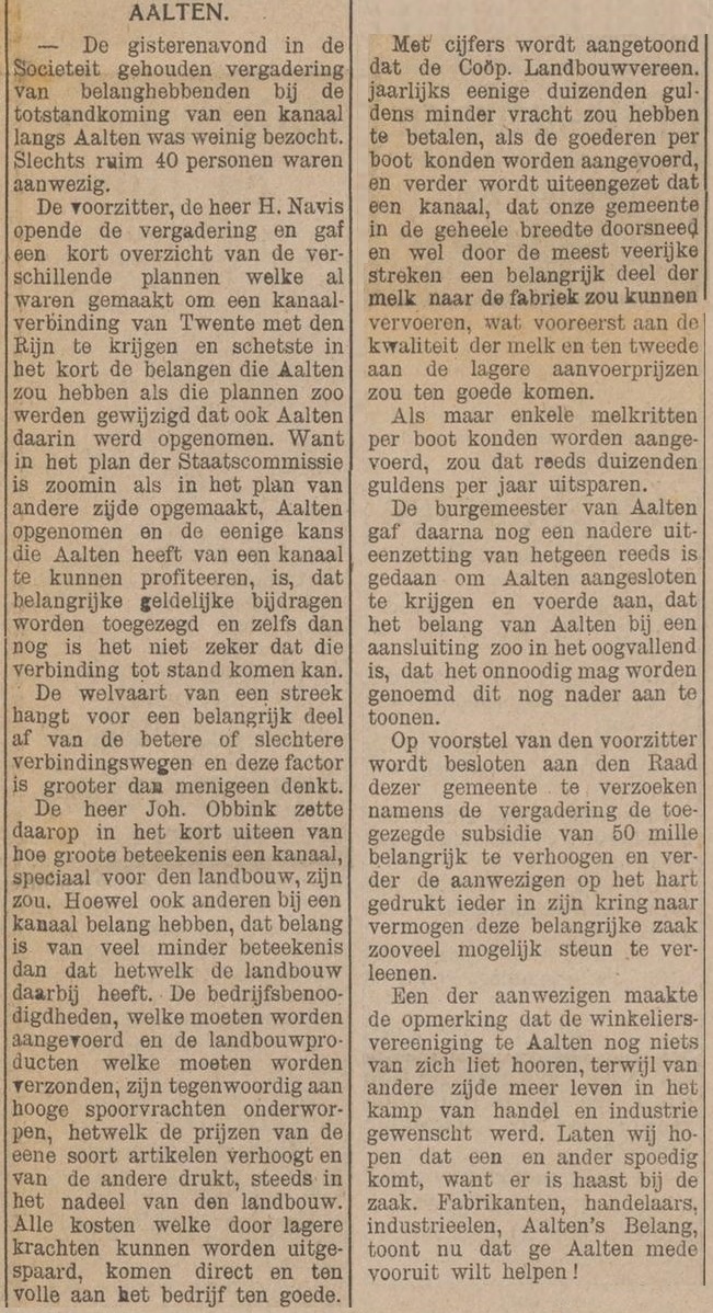
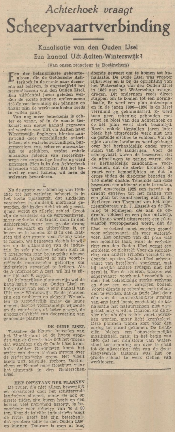
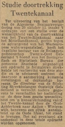
In the first decades of the twentieth century, numerous plans were drawn up in the Netherlands for the construction of canals to facilitate bulk transport. For instance, the initial plans for the Twente Canal (Twentekanaal) were presented in Twente in 1907.
In 1936, the 54-kilometre-long canal between Enschede and Zutphen was opened to shipping. Similar plans also emerged in the Achterhoek.
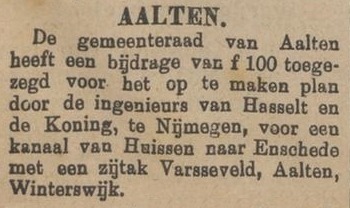
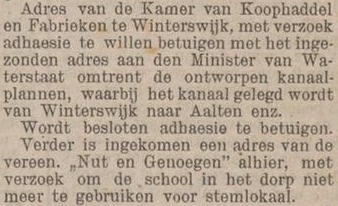
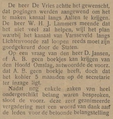
In 1914, Doetinchem municipal council decided to take action on this idea. In March 1915, a proposal was presented based on a Twente–Rhine Canal (Twente-Rijnkanaal). The planned canal was to begin six hundred metres north of the head of the IJssel and run via Duiven, Wehl, Doetinchem, and Varsseveld, passing Lichtenvoorde, Groenlo, Eibergen, and Haaksbergen on its way to Hengelo, including a branch canal via Aalten to Winterswijk.
Following decades of debate and planning, continuing at least into the 1960s, the projects ultimately foundered somewhere along the line.
Newspaper reports
Aaltensche Courant, 29 July 1914Nieuwe Winterswijksche Courant, 1 August 1914Aaltensche Courant, 3 August 1917
Nieuwe Aaltensche Courant, 15 January 1918Nieuwe Aaltensche Courant, 15 March 1918Aaltensche Courant, 30 April 1918
Nijmeegsch Dagblad, 4 February 1947Twentsch Dagblad Tubantia, 15 December 1961
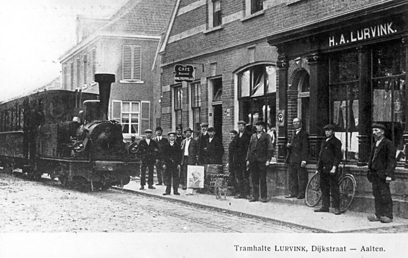
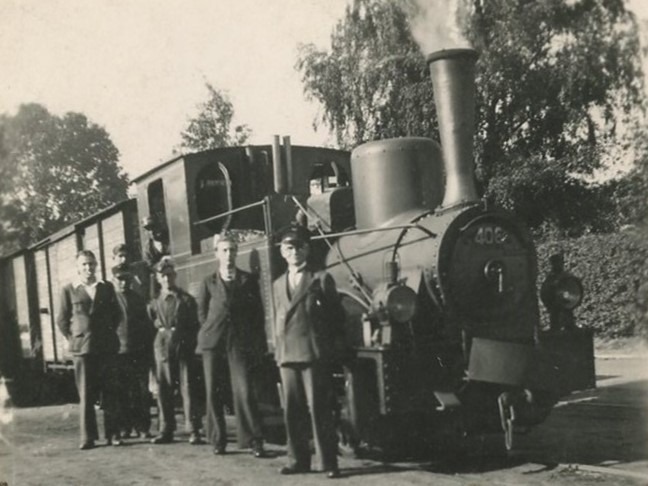
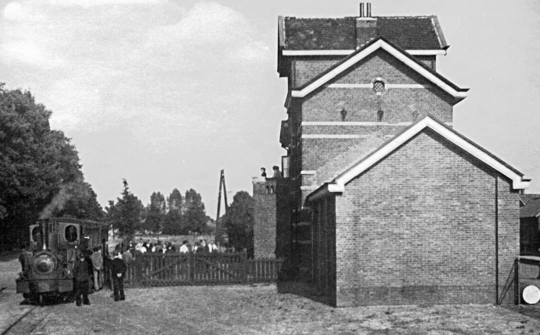
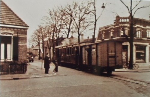
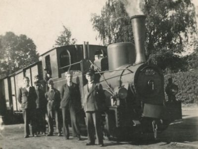
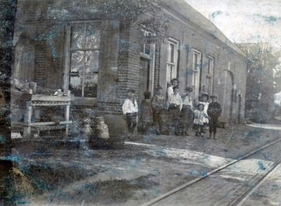
In 1910, a tram line was opened from Lichtenvoorde to Bocholt, via Bredevoort and Aalten. In 1953, the tram line was discontinued and the tracks were broken up.
Around the turn of the 20th century, hundreds of Aalten residents crossed the border every day to work in one of the textile factories in the neighbouring German city of Bocholt. In all weathers, they travelled on foot, by bicycle, or by horse and carriage. Some took up to three hours to cover the (roughly) ten kilometres between home and work, both in the morning and in the evening!
Plans
As early as 1880, there were plans to extend the Lichtenvoorde–Groenlo tram line to Aalten, Varsseveld, and Terborg. By 1893, there were plans for a horse-drawn tram line from Groenlo to Lichtenvoorde, Bredevoort, Aalten, and Dinxperlo/Bocholt. In 1899, the final plan was eventually drawn up for two steam tram lines: from the Lichtenvoorde-Groenlo station to Zeddam and to Bocholt. To this end, the Geldersch-Westfaalsche Stoomtram-Maatschappij (GWSM) was established in 1905, with its head office in Lichtenvoorde.
The Bocholter Volksblatt wrote on 1 October 1907:
Holländische Arbeiter in Bocholt
“Yesterday evening, a local citizen on his way back from Aalten to Bocholt, as he informs us as a loyal subscriber, took the pleasure of counting the workers returning by bicycle from Bocholt to the border. On his way from the Kreuzkapelle to the Holtwicker Bach, he counted no fewer than 276 cyclists; he also encountered a large wagon which was also transporting workers, estimated at perhaps 40–50. In this respect, therefore, the Bocholt–Aalten light railway certainly does not have such bad prospects for ridership, especially since there will undoubtedly be many more workers who wish to come here for work.”
A year later, on 4 November 1908, the same newspaper wrote:
Dampfeisenbahn Bocholt–Aalten
“After long negotiations, the Bocholt manufacturers and other interested parties have finally succeeded, through the subscription of large sums of money, in ensuring that the Bocholt–Aalten light railway is now being built. It has now been entered into the commercial register of the local district court under Geldersch-Westfälische Dampfeisenbahn-Gesellschaft AG in Lichtenvoorde in the Kingdom of the Netherlands, with a branch office in Bocholt. Hundreds of Dutch workers are employed in the local factories, who have had to cover the approximately 3-hour journey to Holland on foot or by bicycle, every morning and evening, in wind and weather. Construction of the railway will be commenced immediately.”
Festive Opening
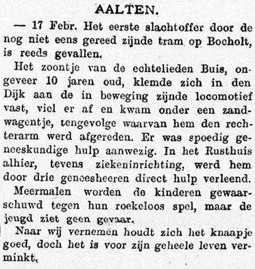
In 1909, construction of the tram line began. However, the work suffered significant delays as a result of a major flood near Bredevoort that year. Finally, the tram line was festively opened on 29 April 1910.
It soon became apparent that only the Aalten–Bocholt section was a successful part of the GWSM. However, due to the outbreak of World War I, the border crossing was closed, making it impossible for transport to continue from Aalten to Bocholt. When this route was resumed in 1915, there were far fewer passengers than before, and it was therefore shut down completely in 1916.
From the 1920s onwards, passenger services between Aalten and Lichtenvoorde were largely operated by motor trams. This continued until 1933, when buses from the Veldhuis company began operating. After the 1930s, only freight transport proved successful (with the exception of the Aalten–Bocholt section).
In 1953, the tram line came to an end and the rails were broken up.
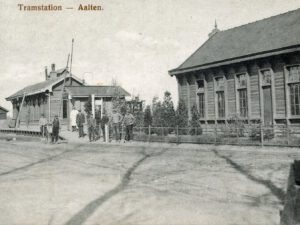
Steam tram Gelderland No. 406 in AaltenSteam tram at Aalten train station (photo courtesy of Hans Schutte)Patrimoniumstraat, AaltenGraafschapbode, 19 February 1910
Stops
Below is a list of stops between Lichtenvoorde and Bocholt that were located within the municipality of Aalten (click here for a list of all stops):
On Friday evening, approximately 40 interested parties gathered at the Sociëteit to learn more about the tram, while most also appeared to have come to contribute to its realization by purchasing shares.
In response to a question from one of those present as to whether the Prussian government would also provide a subsidy for the section on German territory, the answer was believed to be in the negative. The desirability of a connection to the station in Bocholt was also discussed, but it was thought that the residents of Bocholt would see to this themselves once the line was established. Another expressed doubt about this, as much expense is currently being spent on the Aa and it is not being counted upon, so that many costs would arise from it later.
These and several other points were discussed following the reading of the report, of which we provide some excerpts here:
On February 19 last, a route map with description was sent to His Excellency the Minister of Water Management, Trade and Industry, and in an accompanying address, support was requested for one-third of the construction costs, including rolling stock. The plans, budget, description, etc., of the Dutch-Prussian border–Bocholt steam tram section were prepared by Mr. Regierungsbaumeister G. Küchler, and these documents have been sent to the Mr. Regierungsrath-Präsident in Munster; we have already received word that these documents were submitted to the Mr. Landrath in Borken and to the Mayor of Bocholt for assessment, etc. The “landespolizeiliche Vorprüfung” (state police preliminary examination) of the plans by the relevant authorities took place on Monday, August 27 last.
The choice of the direction for the Lichtenvoorde–Dutch-Prussian border line gave rise to some difficulties. In the first place, we considered it important to include Bredevoort in the plan; to satisfy this, the purchase of a house in the center of the village was necessary. Before marking out the line through Bredevoort, we secured possession of a portion of the house.
Secondly, whether to go around or through Aalten. After various leveling surveys were conducted near and in Aalten, we became convinced that, in view of the steep slopes which would later present many difficulties during the operation of the steam tramway, the route to the east of Aalten should be preferred over the one through the center of the municipality. There was much opposition to that direction from the Municipal Executive of Aalten and private individuals. After discussions with a Committee from the Council, it was again investigated how the objections could be met.
The result was that two new directions were submitted to the Council for judgment. These directions could likewise not obtain the approval of that Council; it maintained its desire that the steam tramway should, if possible, be constructed through the Kerkstraat. After we had the requested route through the Kerkstraat surveyed again, and although it has once more become apparent to us that the consequences of more expensive operation with this route will be inevitable, we felt that, in view of the success of the undertaking, we had to yield to the wish of the Municipal Executive of Aalten.
Tram stop Domme Aanleg
As a result of these considerations, the Lichtenvoorde–Bocholt route will be as follows: The line begins at the junction formed by the Lichtenvoorde–Groenlo gravel road and the Lichtenvoorde–Aalten gravel road, so that a connection is obtained both in the direction of Lichtenvoorde N.W.S. station and in the direction of Zeddam. From the aforementioned junction, the tram line follows the right shoulder of the gravel road to Aalten as far as the “de Domme Aanleg” inn, from there the right shoulder of the gravel road to Bredevoort until approximately 100 meters before the “het Nieuwe Bouwhuis” farm, where it crosses the road and leaves it to continue on its own track in a nearly easterly direction. Then, turning southwards, the Kloosterdijk is crossed and the tramway returns to the left shoulder approximately 300 meters before the center of Bredevoort. The line runs through Bredevoort and leaves the town via the southern shoulder of the gravel road to Aalten. Thereafter across the Markt through the Kerkstraat, subsequently following the east side of the Bocholterweg. Near the border, the road is crossed and the west side of the road is followed on German territory until Bocholt.
A customs station will be established on both Dutch and German territory. At the western end of the village of Lichtenvoorde, a shed for locomotives and carriages will be built, with a workshop and residence (also an office), furthermore a station and goods shed along with a residence for the station master; near Zeddam, an auxiliary shed for locomotives and carriages has been designed. In Aalten and Bocholt, sheds for locomotives and carriages will also be built. In addition to the aforementioned locations, passing places have been designed near Harreveld, in the Heelweg, Varsseveld, Westendorp, and Etten. Furthermore in Bredevoort and at the Dutch-Prussian border. In Lichtenvoorde, Varsseveld, Zeddam, Aalten, and Bocholt, simple facilities will be made for the water supply of the locomotives, as well as halt buildings, etc., where these shall later prove necessary.
A telephone line will be installed along the designed tram lines (of which, however, the public may not make use for the time being).
Tram station Aalten
It is proposed to acquire: 8 locomotives, 10 passenger carriages, and 45 goods wagons. Negotiations have been opened with the Geldersche Stoomtram-Maatschappij in Doetinchem regarding the shared use of the section of that Company’s steam tramway and of the Gendringen tramway company near Terborg, while negotiations are also being conducted with the “Ouden IJssel” Water Board and with the managers of the Terborg–Etten road regarding the conditions for the steam tram crossing the Ouden IJssel bridge.
We have contacted the Hollandsche IJzeren Spoorweg-Maatschappij in Amsterdam regarding the crossing of the G.-O. local railway at Aalten and at Terborg and regarding the laying of rails on the station yard at Lichtenvoorde.
The construction costs for the Lichtenvoorde–Zeddam line are estimated at ƒ453,000, from which interest-free advances from the state and province amounting to ƒ196,300 are deducted, so that a share capital of ƒ260,000 in round figures must be found. Those for the Lichtenvoorde–Bocholt line are estimated at ƒ360,000. It is expected that the state and province will grant an interest-free advance totaling ƒ104,000, so that for this line too, a capital of ƒ260,000 in round figures must be found. During the first twenty years, an interest of 3¼% per annum is guaranteed on the corporate capital of ƒ520,000 through the already promised and the yet to be requested interest guarantee of ƒ16,900.
Since very early times, many commercial relations have existed between the municipalities of Lichtenvoorde, Aalten, and Bocholt, and that these have not yet disappeared but continue to exist is evident from the substantial receipts (± M. 80,000) of the German border office. At this moment, a large number of workers from Bredevoort and Aalten go to the factories in Bocholt, either on foot, by bicycle, or by wagon. These workers will undoubtedly make use of the tram if worker trains run, because they will then not need to set out before dawn and can be home again in good time in the evening. Daily transport of at least 200 workers to Bocholt can be confidently counted upon, in addition to a significant transport of foodstuffs to Prussia. The city of Bocholt is a very flourishing manufacturing town with an ever-growing population. Significant traffic between Aalten and Bocholt is to be expected.
The designed steam tram lines can, as far as location etc. is concerned, be considered approximately equal to the Gendringen Tramway. According to the report of the Director of the Geldersche Stoomtram-Maatschappij (operator of the Terborg–Gendringen steam tramway), the receipts of the said tramway for the 1899/00 financial year per day-kilometer were: passengers ƒ2.76, goods ƒ3.49, totaling ƒ6.25.
Although we can find no reason to expect lower revenue for the designed lines, we wish, for the sake of caution, to reduce the revenue per day-kilometer of Terborg–Gendringen of ƒ6.25 by 25%, thus taking ƒ4.69 as the standard for the new lines, making for 49.2 kilometers x ƒ4.69 x 365 days (rounded) ƒ84,300; the operating costs, generously estimated, will amount to ƒ50,200, and depreciation of 1% of construction ƒ8,100, totaling ƒ58,300, so that a credit balance of ƒ26,000 remains, i.e., 5% of the share capital.
From the foregoing it may therefore appear that, even if the outcome in the first years should not be as favorable as can be deduced from the fairly accurate calculations, the undertaking will prove to be a fairly solid investment for the shareholders, and for the region a pleasant and fast means of transport, which will certainly give a powerful boost to the development of local and tourist traffic and cause trade and industry to increase. The name shall be: Geldersch-Westfaalsche Stoomtramweg-Maatschappij.
After some discussion among themselves, several lists placed on the various tables were taken up and filled in, but the request was made to see the list on which the members of the committee had signed, and a number of persons then placed their signatures on it with the number of shares to be taken. The list was read out upon request, and it then appeared that an amount of ƒ24,500 had been subscribed.
When the members of the committee, in response to the question from Mr. W.H. Lammers, declared that they did not intend to go around to the residents with the lists in order to place even more shares, the latter thought that not much would come of the matter. He and a few other gentlemen, however, declared themselves willing to take lists with them to attempt to further increase the number of shares placed, after which the meeting was closed.
N.B. The photos on this page have been added for illustration purposes and were not part of the original article.
All sorts of true and false rumors regarding the establishment of an electric factory in the municipality of Aalten are going around; for which reason it may be well to bring the following to the public’s attention. The Company “De Laval” in Amsterdam does indeed have the plan to establish an installation for light and power transmission in the municipality of Aalten.
Last week, it already sent its engineers for preliminary discussions and investigations, for which purpose those gentlemen also had a lengthy interview with our honorable Mayor.
Is such an installation of importance to the municipality of Aalten? It is well known enough that electric lighting is not only beautiful and convenient, but also greatly reduces the fire hazard.
“Yes, but the costs! Electric lighting will cost the municipality money!”
Mr. Rittershaussen, engineer of the “De Laval” Company, declared to the undersigned that his Company will provide electric lighting for the municipality for the same price that petroleum lighting currently costs. Thus, better lighting without additional costs.
“But, for private individuals, that new light will be too expensive!”
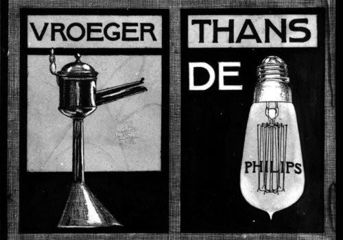
Philips light bulb advert
The engineer assured that for ƒ 12.00 per year, which is just over three cents per day, one can burn a lamp of sufficient intensity to one’s heart’s content; if desired, the Company will also install a lamp in the bedroom, which can be used alternately with the lamp in the living room without a price increase. With such an arrangement, the costs of a meter are saved.
“But that business will not be able to exist here!”
Mr. Rittershaussen answers that if it encounters no opposition, his Company will have the installation ready within six months, and he is certain that within two years it will have placed enough lamps in Aalten and Bredevoort to run its business successfully. He considers it entirely unnecessary to request applications for connections beforehand. However, of even greater importance to our municipality is that the “De Laval” Company, alongside electric lighting, also provides the opportunity for anyone who so desires to rent power to set machines in motion.
In this way, small-scale industry, which is slowly perishing due to competition with the steam factories in our municipality as elsewhere, will be able to flourish vigorously once again. Wood, pipe, and button turners, millers and flour manufacturers, tobacco carvers, wood sawyers, printers, shoemakers, laundries—in a word, all who need driving power for their business—can be enabled by the electrical installation to withstand the competition without great difficulties.
The aforementioned engineer declared that his Company is also inclined to establish the long-desired Lievelde–Bocholt tram connection through the construction and operation of an electric tram. That the Company, in its application for concessions, is not seeking to make money from such concessions but to actually carry out the plans, is evident from the fact that it already has over 1,500 Laval Turbines with approximately 33,000 effective horsepower in operation.
From all this, it is clear of what importance an electrical installation for light and power transmission is for our municipality.
With polite thanks for the publication, I have the honor to be, Mr. Editor,
your humble servant B.S. MULDER, Pastor. Bredevoort, Feb 15. 1899.
Aaltensche Courant, 9 September 1899
Letter to the Editor – A contribution and explanation regarding the electric lighting of Aalten and Bredevoort.
The editorial team accepts no responsibility.
It is now several months ago that the Company “de Laval” in Amsterdam made the plan to provide our municipality with electric light and electric power transmission to give the residents the opportunity to light their houses beautifully, cheaply, and conveniently, but above all to expand or facilitate their industry by means of electricity. After all, this saves a lot of labor and allows one to work much more cheaply than by means of steam engines or motors, which are relatively expensive and involve a lot of labor.
Our esteemed Municipal Council has devoted several sessions to whether or not to grant permission for the establishment of this institution, which is so useful for our municipality. However, nothing has been decided so far and, in my opinion, matters are worse than a few months ago, for delay so easily becomes cancellation, and thus we would cause ourselves harm. The main reason for this standstill, however, is that some Council members are under the misconception that electric light would be dangerous; even Council member Mr. Th. Driessen is of this opinion, although his factory is lit by electricity.
The opposite is true, however; let the following serve as proof:
1°. Electric light can be provided by means of cables which are insulated, i.e., by cables which are so wound or covered that they do not present the slightest danger upon contact with humans or animals. Therefore, there is no danger from this side in laying cables from Bredevoort to Aalten and vice versa, or in making conduits along the houses in Aalten and Bredevoort.
2°. When connecting the buildings to be lit with the main cable, the greatest precaution is observed by placing a piece of lead wire or other soft metal at the point where the current enters the house, through which the current enters the house. If the current becomes too strong, the inserted soft metal melts and all danger (which, incidentally, is not great or dangerous) has vanished. By means of another piece of soft metal, one can easily bring the meanwhile tempered current into contact with the lamps.
3°. Electric light is actually only a current passing through very thin wire, which wire is located in a vacuum glass bulb or pear. Should this bulb or pear break, that thin wire immediately comes into contact with the air; it carbonizes in a minimum of time, whereby the current is broken and no more danger is present.
I believe I have sufficiently proven herewith that electric light does not present the slightest danger, but does bring a very great advantage; for the sometimes very high prices of petroleum remain without influence on our municipality and, moreover, one can have beautiful light for the very low price of ƒ 12 for the entire year, and everything works very easily, namely by simply pulling a lever, and everything is ready.
The greatest advantage, however, lies in the fact that one can drive all kinds of machinery by means of electric power, not to mention a tram. It can serve to set in motion looms, lathes, mills, etc. etc., as is already widely done in Germany. Only by means of electricity can one nickel-plate and gild cheaply and beautifully, and light various apparatus such as large microscopes etc. by means of carbon rods.
Proof enough that electric light and power transmission is not only advantageous but highly desirable for our municipality. Everywhere in Germany one finds electric trams, which even run along cables that are not insulated, as for example in Duisburg, Oberhausen and surroundings and from Krefeld to Dusseldorf etc.; furthermore, one also has electric light and electric labor everywhere there.
I hope and expect that Mr. Driessen, as well as the entire Council, has come to other views and that after the next council meeting an affirmative answer be sent to the Company “de Laval,” so that delay here does not become a refusal. Should the Council, however, not be convinced or not believe these proofs, then I hope they will go and take a look at the specified German places.
Bredevoort, Sept 4, 1899. a QUERCU.
Arnhemsche Courant, 19 February 1900
Aalten, Feb 17. – A concession has been granted to the firm Hofstede Crull, in Borne, by the Council of Aalten for the installation of electric lighting there.
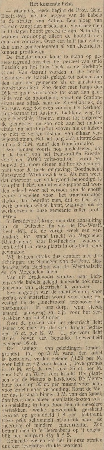
‘The coming light’ – De Nieuwe Aaltensche Courant, June 29, 1923 (click to enlarge)
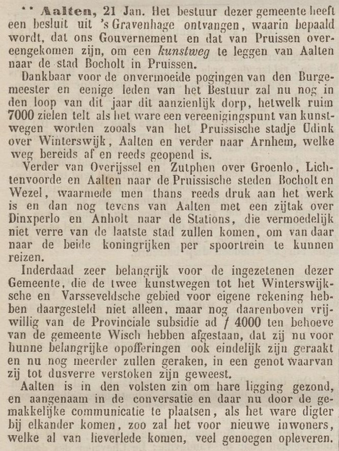
Aalten, 21 Jan. The administration of this municipality has received a decree from The Hague, stating that our Government and that of Prussia have agreed to construct a paved road from Aalten to the city of Bocholt in Prussia.
Grateful for the tireless efforts of the Mayor and several members of the Board, this significant village, which counts over 7,000 souls, will now, in the course of this year, become a junction of paved roads, such as from the Prussian town of Oeding via Winterswijk, Aalten, and further to Arnhem, which road is already finished and opened.
Furthermore, from Overijssel and Zutphen via Groenlo, Lichtenvoorde, and Aalten to the Prussian cities of Bocholt and Wesel, which are currently being worked on, and then also from Aalten with a branch via Dinxperlo and Anholt to the stations, which will presumably be located not far from the latter city, to be able to travel from there to both kingdoms by train.
Indeed very important for the residents of this Municipality, who not only established the two paved roads to the Winterswijk and Varsseveld areas at their own expense, but moreover voluntarily waived the Provincial subsidy of ƒ 4,000 for the benefit of the municipality of Wisch, that they have now finally attained, and will further attain, a benefit of which they have hitherto been deprived, as a result of their significant sacrifices.
Aalten is, in the fullest sense, healthy due to its location and pleasant in social interaction, and since places are now, as it were, coming closer together through easy communication, it will provide much pleasure for new residents, who are already gradually arriving.